West Virginia and Pennsylvania’s Parkersburg to Pittsburgh Corridor
The P2P: It’s a small acronym that holds a world of promise. Extending from Parkersburg to Pittsburgh (P2P), the developing 238.5-mile route connecting northern West Virginia and southwestern Pennsylvania by trail would be a game changer for the dozens of small, rural Appalachian towns that have seen the Cinderella story of the highly successful Great Allegheny Passage (gaptrail.org) so close at hand.
Already, the Three Rivers Heritage Trail, which brings the P2P into Pittsburgh, has proven to be a draw. More than a half-million people are using the riverfront pathway each year, generating an estimated $8.3 million in annual economic impact, according to a report published by Rails-to-Trails Conservancy (RTC) in 2014. Many other pieces of the P2P puzzle are also in place, and closure of just a few gaps will complete the trail.
Route to Revitalization
To manage such a large-scale project, RTC hired consultant Kent Spellman, who has nuts-and-bolts experience from his work getting West Virginia’s 72-mile North Bend Rail Trail off the ground more than three decades ago.
From the North Bend’s eastern end at Wolf Summit, a gap of approximately 5 miles would need to be filled to continue the P2P into Clarksburg. Swinging northeast, a series of trails—Harrison North Rail Trail, West Fork River Trail, the MCTrail and the Mon River Trail System—would then bring the route through Morgantown and continue the P2P up to the border between West Virginia and Pennsylvania. Two philanthropic groups, the Claude Worthington Benedum Foundation and The George Gund Foundation, are supporting the effort to stitch them together.
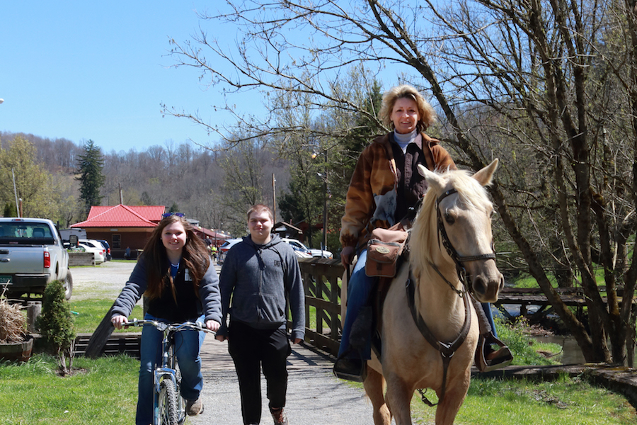
For these developing trails, the popular Mon River Trail System, spanning 50 miles in and around Morgantown, provides an aspirational beacon of success and tangible proof that these trails improve the quality of life for residents. Median property values along its route have increased a whopping 173 percent since 2004, according to an economic impact study by the West Virginia University School of Public Health.
Flocking to the Sheepskin Rail-Trail
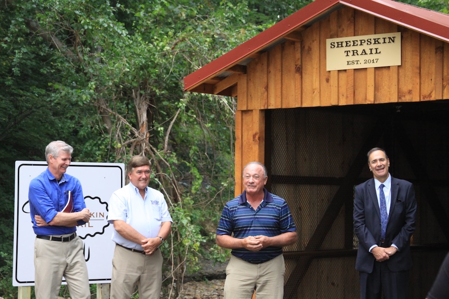
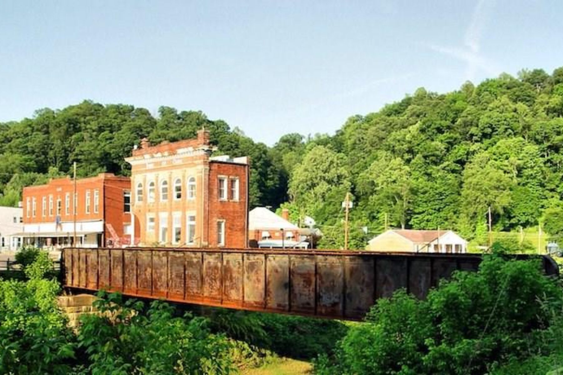
Over the state line, the planned 34-mile Sheepskin Rail-Trail plays a critical role in the Pennsylvania portion of the P2P. Already the Sheepskin has two short segments on the ground in Dunbar and South Union Township, totaling a little more than 4 miles, and a third segment on the way. Once complete, this new 1.7-mile section through Point Marion, Pennsylvania, will tie into Morgantown’s trail system, connecting the West Virginia and Pennsylvania halves of the P2P.
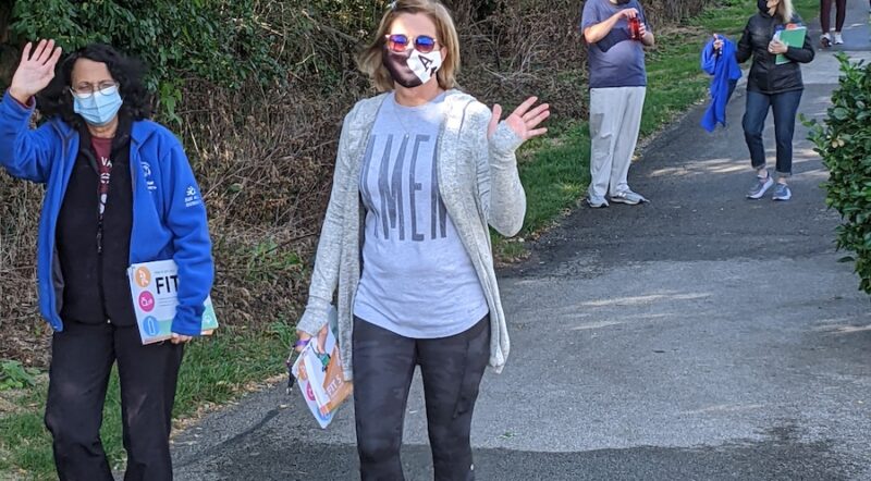
This spring, RTC will release a feasibility study on the P2P project, which will effectively “put a price tag on everything, so the counties and cities can understand the costs,” explained Kelly Pack, RTC’s director of trail development. Although the P2P is 78 percent complete, it will take several more years to close the gaps, and the report is a critical next step for moving the project forward.
Already a massive project, the P2P is part of an even larger trail network, the Industrial Heartland Trails Coalition, an RTC TrailNation™ project spanning 1,500+ miles in Pennsylvania, West Virginia, Ohio and New York. “For local trail groups to be part of something much bigger, that’s a powerful message,” said Spellman. “It helps them see the value and potential of the trail going through their community.”
TRAIL UNDER CONSTRUCTION: Parkersburg to Pittsburgh Corridor (P2P)
LOCATION: Parkersburg in northern West Virginia to the southwestern corner of Pennsylvania and up to Pittsburgh
USED RAILROAD CORRIDOR: Much of the route follows the historical Baltimore and Ohio railroad; today, RTC and local trail advocates are working with CSX to acquire the rail corridors for the trail.
LENGTH: 238.5 miles
SURFACE: When complete, it will be largely crushed stone with some paved sections.
This article was originally published in the Spring/Summer 2018 issue of Rails to Trails magazine. It has been posted here in an edited format.


Donate
Everyone deserves access to safe ways to walk, bike, and be active outdoors.
Related
View All
10 Unique Lodgings Along the Great American Rail-Trail

Elements of Gold: Michigan’s Pere Marquette Rail-Trail Is a Special Place for All Seasons