Dynamic Duo: How TrailLink and Google Maps Have Made Trails Accessible to America
At Rails-to-Trails Conservancy (RTC), we work every day to support the development of connected trail systems across America, advocate for policies that provide critical funding for trails and communicate to the public all the benefits trails provide.
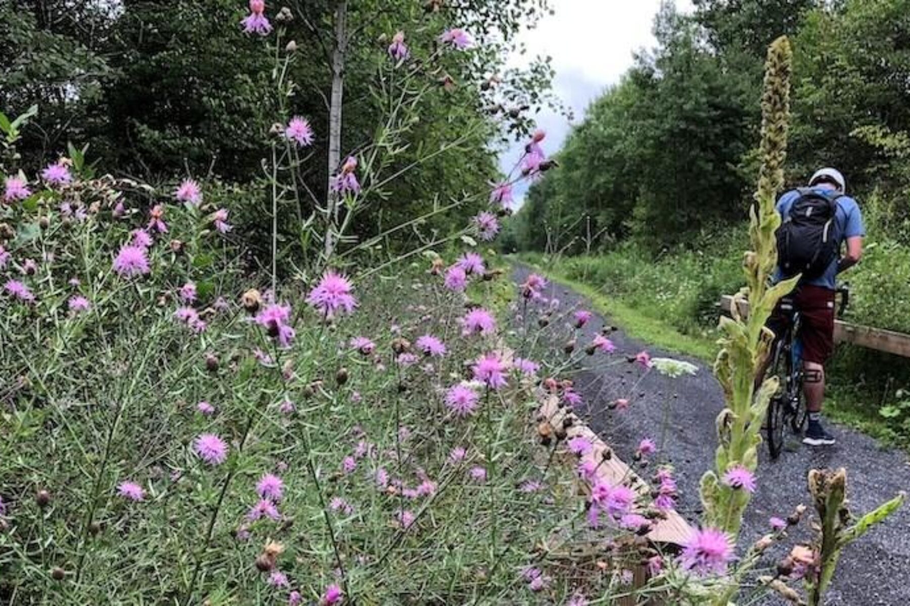
We know we’re lucky to be doing this work on behalf of communities. But what gives us the greatest joy is seeing people out on the trail—connecting with nature and each other. That’s why we created TrailLink, the country’s leading app and most authoritative source for finding and using trails. TrailLink provides directions, maps and rich content for 37,000+ miles of multiuse trails across the country, of which more than 24,000 miles are rail-trails.
How did a nonprofit, movement-building organization become a leader in geospatial technology and app development? Part of the answer is simply the creativity and hard work RTC staff applied to developing our GIS database, including on-the-ground mapping and the continuous creation of high-quality content. But like anything we do, we can’t do it alone! Our members and users provide invaluable input and feedback daily. And we’re lucky to have partners from all sectors helping to connect people with trails.
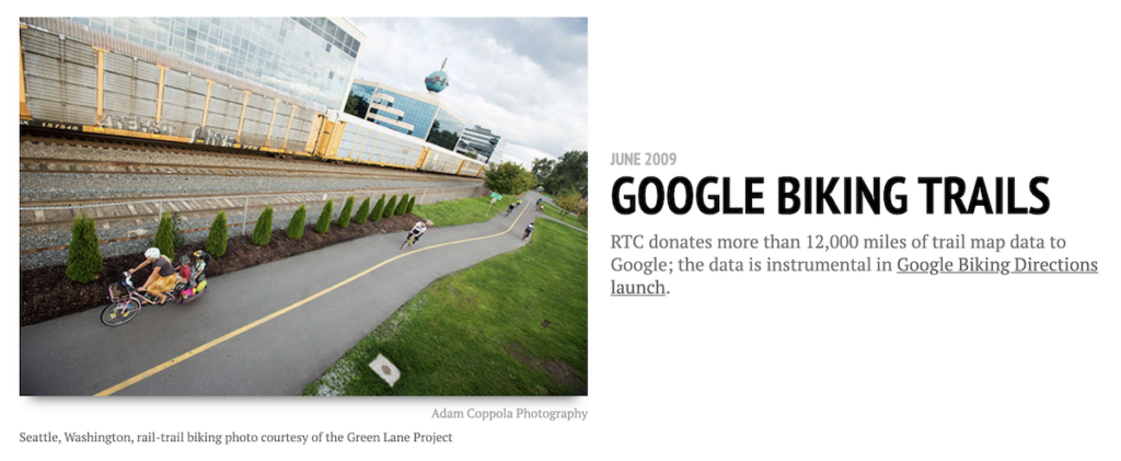
In late 2007, we launched a dynamic partnership with Google Maps, providing them with trail data that was pivotal to helping them build out their biking and walking directions to provide safe, low-stress routes for map users. In turn, Google has helped direct millions of people to TrailLink to access all the health and wellness benefits trails provide. Since 2008, usage has grown from several hundred thousand people to more than 7 million annually who choose TrailLink as their go-to source for finding and using trails.
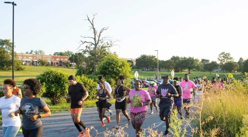
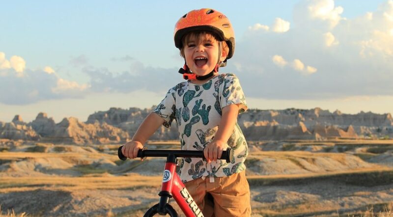
A great thing about trails is that they provide a safe, accessible way for people from all walks of life to get outside—and for years, TrailLink has been America’s #1 source for finding these treasured resources. Frederick Schaedtler, RTC’s chief technology officer and one of the architects of TrailLink, said it best that “we hear from people every day who communicate how much TrailLink has impacted their lives”—enabling them to find and use trails in their own backyards to regain their health, explore new destinations and have amazing experiences in the outdoors.
Our partners at Google were kind enough to make the following video about TrailLink and our journey with the Google Maps platform. We hope you enjoy it!


Donate
Everyone deserves access to safe ways to walk, bike, and be active outdoors.