Nine Cool Rail-Trails in Wisconsin’s Ice Age Trail
“A national trail is a gateway into nature’s secret beauties,” wrote former Secretary of the Interior Stewart Udall, a key champion of the National Trail System Act of 1968, which celebrates its 50th anniversary this year. Wisconsin’s Ice Age Trail, one of 11 National Scenic Trails made possible by that legislation, is the embodiment of this sentiment, spanning 1,200 miles across the state along the edge of a glacier that left its mark on the landscape some 15,000 years ago.
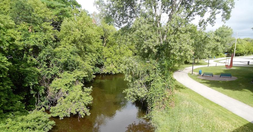
Included in this epic pathway are nine incredible rail-trails, listed here in a west-to-east journey across Wisconsin. As the path makes its way toward Lake Michigan, the Ice Age Trail skirts the Milwaukee region, a hotbed for the next generation of trail development. The Route of the Badger, an RTC TrailNation™ project, will connect more than 500 miles of trail, offering a vision of healthy, thriving communities in southeastern Wisconsin.
Related: Trail Caucus Kicks Off to Connect Wisconsin as New Projects Build Momentum
Gandy Dancer Trail (Southern Section)
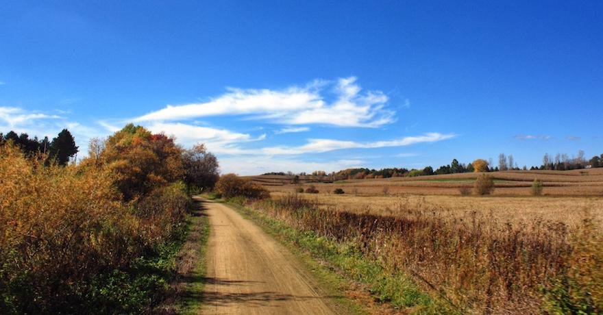
The picturesque Gandy Dancer Trail overlaps the Ice Age Trail for about 19 miles from St. Croix Falls, a river town at the Minnesota border, to the outskirts of Frederic, where a Soo Line Railroad Depot (circa-1901) has been renovated and serves as a museum. In between, you’ll enjoy quiet forests and farmland with charming small towns every few miles.
Tuscobia State Trail
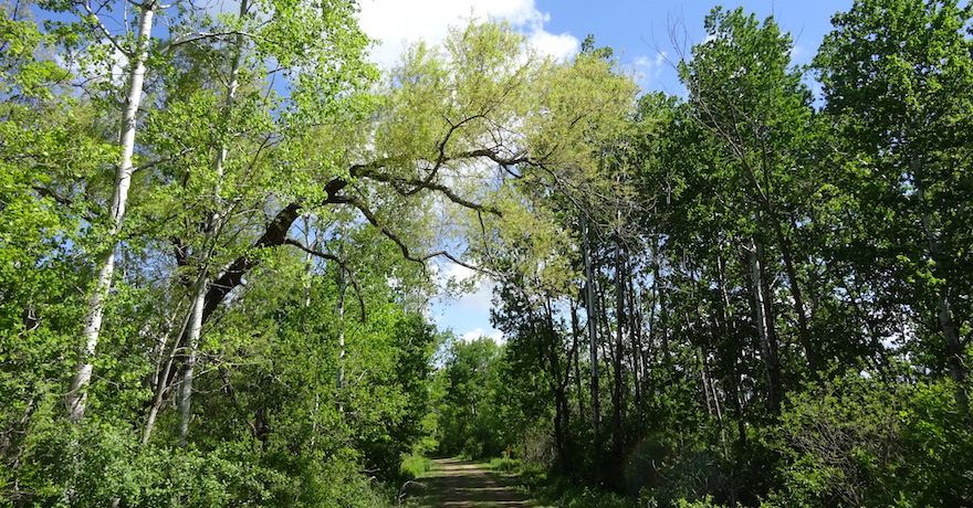
The western tip of the expansive 74-mile Tuscobia State Trail is part of the Ice Age Trail. From the community of Tuscobia, just north of Rice Lake, to the Village of Birchwood, this slice of rugged wilderness is one for the adventurous.
Mountain-Bay State Trail
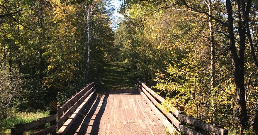
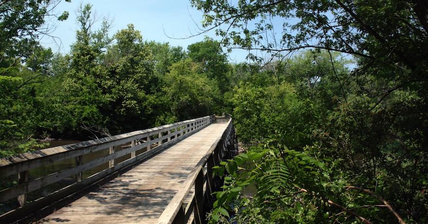
The Mountain-Bay State Trail joins the Ice Age Trail for about 2 miles through the small village of Hatley in central Wisconsin. From Hatley, the Mountain-Bay trail continues east all the way to the outskirts of Green Bay. Along the way, travelers will weave in and out of lush woodlands, wetlands and open farmland, and cross several bridges over rivers and streams.
Military Ridge State Trail
The Ice Age Trail meets the Military Ridge State Trail in Verona, just southwest of Madison. Heading west from Verona, the Military Ridge Trail makes its way to the historic mining town of Dodgeville, through a backdrop of idyllic farmland, state parks and beautiful natural areas.
Badger State Trail
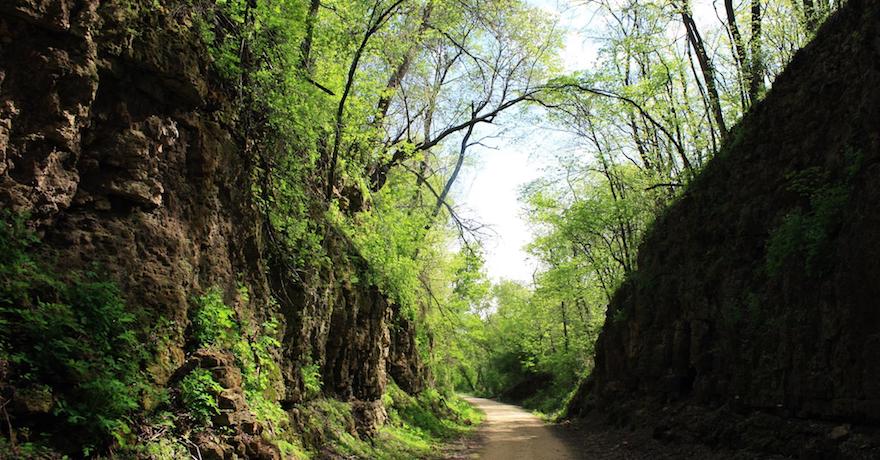
The Badger State Trail and Ice Age Trail overlap for a handful of miles in rural southern Dane County. Along this section, travelers will be largely surrounded by trees with glimpses of farm fields just beyond. The rail-trail continues north to Madison and south to the Illinois state line; heading southward will net trail users the chance to see the impressive 1,200-foot-long Stewart Tunnel, just outside of Belleville.
Sugar River State Trail
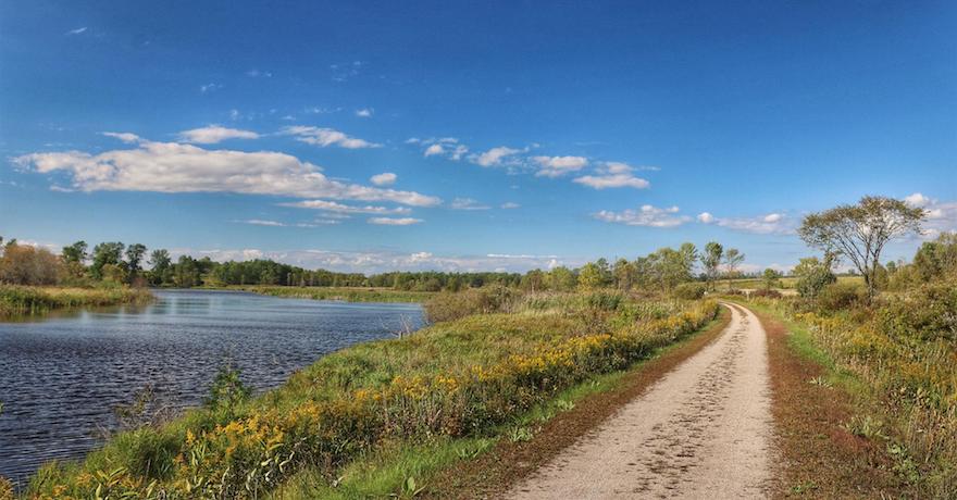
About a dozen miles of the Sugar River State Trail, between the farming communities of Monticello and Albany, are part of the Ice Age Trail. The rail-trail follows the course of the Little Sugar River and features gently rolling hills and meadows with several picturesque stream crossings. This stretch includes passage through the Albany Wildlife Area, a natural oasis with woodlands, marshes and native grasses.
Glacial Drumlin State Trail
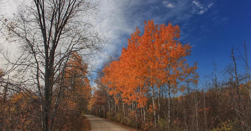
The eastern end of the Glacial Drumlin State Trail and the Ice Age Trail run concurrently for about 2 miles near Wales, a village west of Milwaukee that was settled in the 1840s by Welsh immigrants. The 53-mile rail-trail gets its name from the surrounding low, cigar-shaped hills—called drumlins—that were formed by glaciers. Those massive sheets of ice also left behind a scenic landscape of wetlands, ponds and rivers that trail users can enjoy today.
Eisenbahn State Trail
The Ice Age Trail crosses the Eisenbahn State Trail just south of Kewaskum and heads north through the Kettle Moraine State Forest. Travelers will have a true rail-trail experience here with a historical trailside depot and other nods to the trail’s railroad past, and an easy, level pathway through a mixture of open countryside and colonnades of trees.
Ahnapee State Park Trail
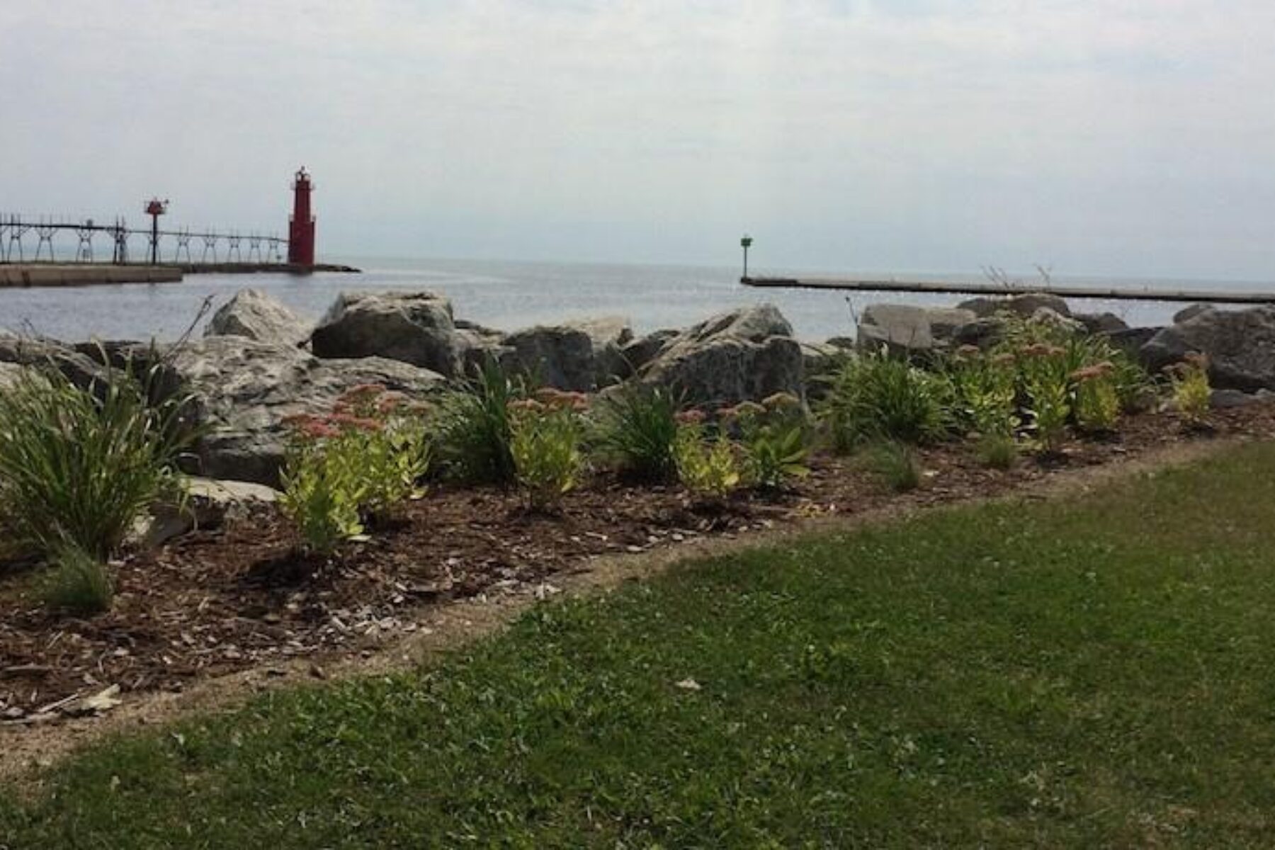
In northeastern Wisconsin, the Ice Age Trail overlaps two sections of the Ahnapee State Park Trail (totaling about 17 miles): from Kewaunee to just shy of Luxemburg, and from Algoma on the shores of Lake Michigan to Sturgeon Bay. The rail-trail is a beauty, winding along the Ahnapee and Kewaunee rivers through fields of sunflowers, apple orchards, evergreen glades, prairies and other eye-catching settings.


Donate
Everyone deserves access to safe ways to walk, bike, and be active outdoors.


