TrailLink
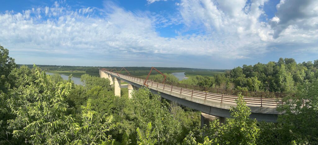
McDonald Trestle along the Montour Trail in Pennsylvania | Photo by Milo Allerton Bateman
TrailLink: America’s Guide to Trails
TrailLink is the essential guide to America’s multiuse trails. Developed by Rails to Trails Conservancy, TrailLink helps millions of people discover and enjoy the nation’s best rail-trails and other pathways—reliably, effortlessly and with a sense of adventure.
TrailLink provides verified, user-friendly and comprehensive trail content to support your outdoor trips and activities and uncover new ones. Every trail discovered through TrailLink showcases the movement’s history in transforming unused rail corridors and public spaces into vibrant pathways that bring people together, promote health and strengthen communities.
Our Goals/Purpose
- We’ve built the most authoritative trail platform in the United States, providing accurate, engaging and high-quality trail information to the public to promote trail use.
- TrailLink serves as a powerful source for generating new Rails to Trails Conservancy (RTC) members, donors and advocates.
Our Impact

Expanding Access: Bringing More Trails to More People
- With more than 40,000 miles of trails mapped to date, TrailLink is the most comprehensive trail database in the country.
- Millions of users each year rely on TrailLink to find safe nearby trails for walking, biking, running, commuting or simply enjoying the outdoors.
- By providing easy access to trail information, we’re supporting increased physical activity, fostering outdoor engagement and promoting mental well-being in America’s diverse communities.
Harnessing Technology to Drive Trail Use
- With millions of visits annually, TrailLink fuels public interest and trail use nationwide.
- TrailLink.com and our mobile apps bring trail discovery to users’ fingertips, empowering both spontaneous and carefully planned outdoor adventures.
- Users can filter trails by location, surface, length, activity type and ADA accessibility—making trail use more inclusive and personalized.
Advancing Advocacy & Infrastructure Investment
- TrailLink provides the data backbone for RTC’s national trail initiatives, including the Great American Rail-Trail® and TrailNation™.
- Our data on the demand for trails, usage patterns and access helps RTC and local partners advocate for funding, maintenance and new trail connections.
- By mapping trail deserts and accessibility gaps, TrailLink helps make the case for more trail investment under-resourced communities around the country.
Empowering Local and Regional Trail Organizations
- TrailLink amplifies the visibility of thousands of local trails and partner organizations by featuring their trails and driving engagement to their websites.
- By providing a national platform, we help communities attract volunteers, visitors and donors.
Inspiring Public Engagement and Trail Stewardship
- Our platform delivers trusted, engaging content. Our trail descriptions, history, safety tips and user reviews foster understanding and stewardship.
- Through our work, we spark deeper public appreciation for trails, positioning them as critical infrastructure and vital community assets.
“[TrailLink] is the go-to app and website for information on a huge range of trails across the U.S.. There are good descriptions of each trail and excellent trail maps, plus reviews from hikers, walkers and bikers.”
— TrailLink user Msandman
How We Manage Trails Content Daily
TrailLink content is created/crafted by our team to be reliable, user-friendly and comprehensive. Our team ensures every trail page is ready to guide, inform and inspire/to support your outdoor adventures.
Hand-curated content
- Our team writes and updates trail descriptions, histories, safety tips and closure notices to ensure all content is accurate and engaging.
- Every trail page includes a detailed description and critical trail details: surfaces, permitted uses, access points, amenities, length and more.
- Fieldwork, trail trips and research ensure information on TrailLink is verified and trustworthy.
- Accessibility details including ADA compliance, elevation and trail surfaces help all users feel confident exploring.
Curating and Editing GIS maps
- Every trail page includes a detailed map with trailheads, parking, restrooms, water fountains, tunnels and more.
- Our team creates, edits and maintains trail maps in GIS to ensure precision and usability, which includes updating trail maps, route alignments, access points and amenity markers.
- Unlike crowd-sourced or AI-generated content, TrailLink maps are created point by point by RTC staff to ensure verified trail information.
Continuous Content Validation
- Our team tracks new trails and updates through outreach to local and state agencies, trail managers and community members, as well as through user submissions and alerts.
- Multiple channels for monitoring trail developments help us to ensure the trail information on our platform stays current and reliable, helping trail users plan and explore with confidence.
Community Engagement
- Users enrich TrailLink with reviews, photos and updates, which our team processes and curates.
- We monitor and respond to support requests and feedback to improve your experience on and off the trail.

“It’s wonderful to begin biking again after being off a bike for 35 years. [The TrailLink] app is helping to inspire me.”
— Jill D.
TrailLink
Your trusted guide to America’s trails.
The maps and information you need to confidently explore more than 40,000 miles of trails with TrailLink.
