The Great American Rail-Trail Experience
Washington’s Olympic Discovery Trail | Photo by Kara Patajo @YourNorthWestieBestie
Discover the Joy of Tackling A Long-distance Trail
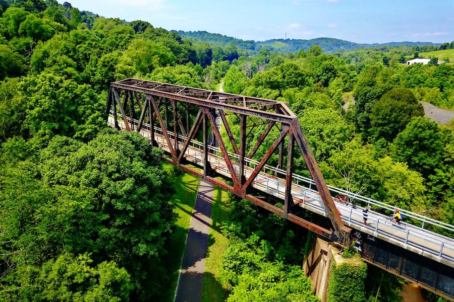
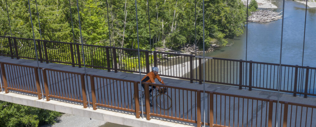
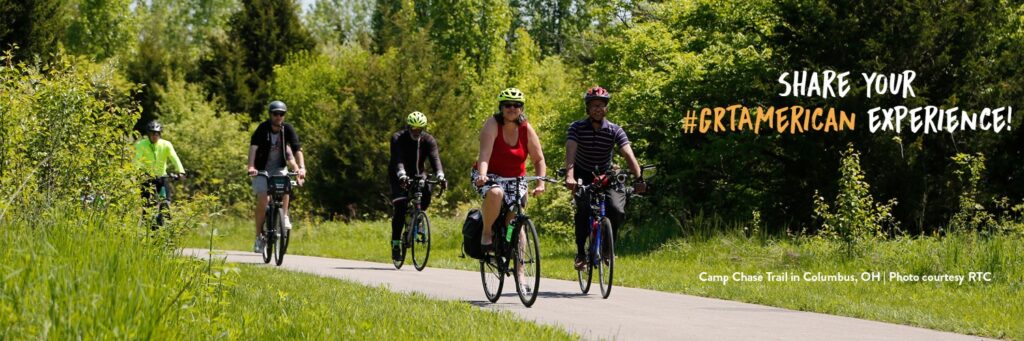
The Great American Rail-Trail promises an all-new American experience. The preferred route connects 150+ existing rail-trails, greenways and other multiuse paths through 12 states and the District of Columbia, spanning more than 3,700 miles. These trails are hosting the Great American through their communities, making possible this grand vision of a nation connected by trails. And with more than 55% of the route already on the ground, now is the time to experience the Great American Rail-Trail!
Highlights

Get Ready for the Great American Rail-Trail
View more blogs
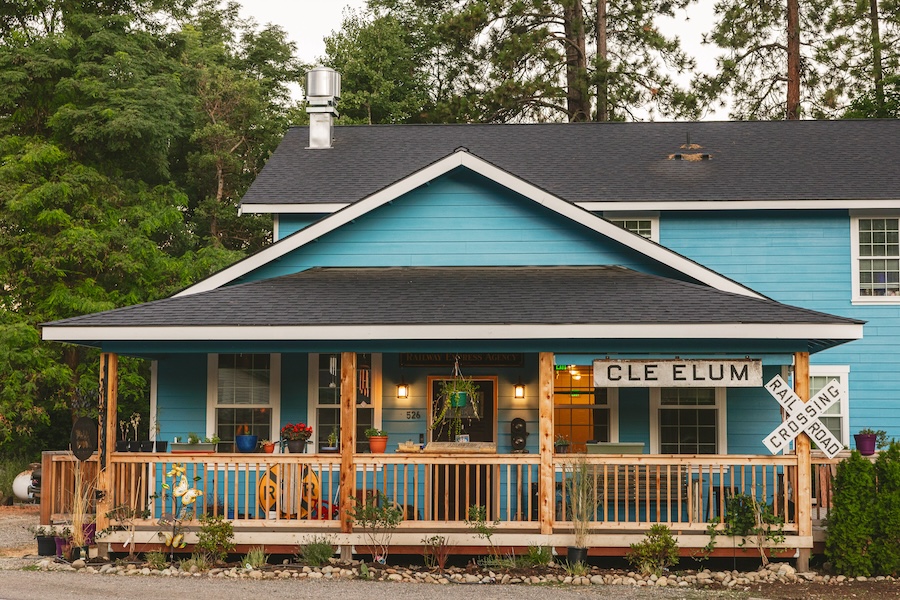
10 Unique Lodgings Along the Great American Rail-Trail
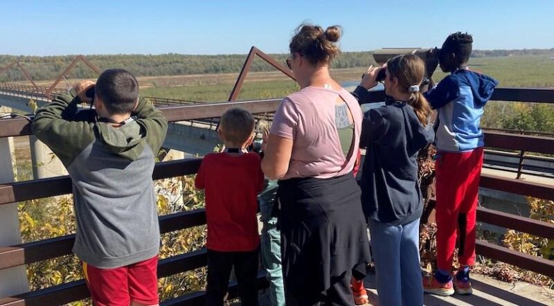
Wildlife Viewing Along the Great American Rail-Trail
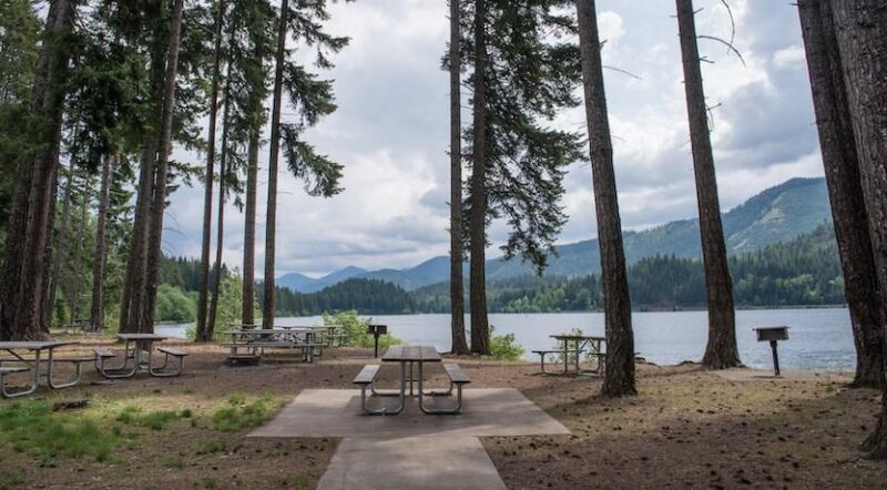
Eight Scenic State Parks for RV Camping Along the Great American Rail-Trail
Planning for Long-Distance Trips
Get started by checking out these tips for how to recreate responsibly and practice good trail etiquette, then finding a section of the Great American Rail-Trail to experience or a trail near you using TrailLink.
With more than 55% of the route complete, you can experience the landscapes and the historic sites between Washington, D.C., and the Palouse region in Washington State, crossing the Mississippi River, and taking in the charm and heritage of the towns and cities along the way.
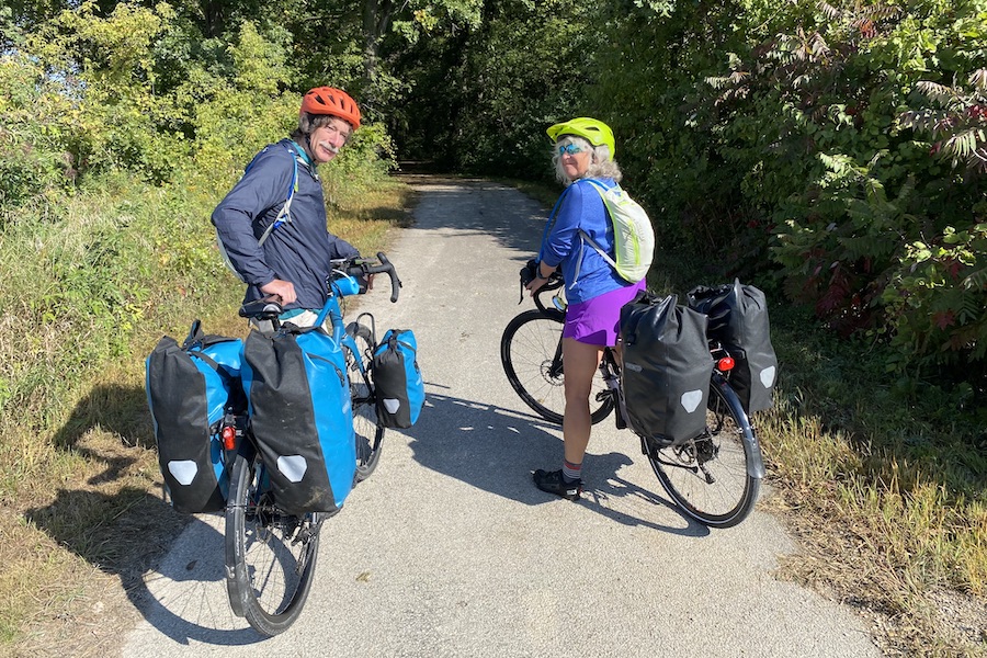
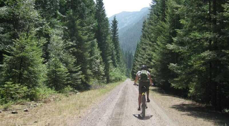
The Great American Rail-Trail is a developing 3,700-mile cross-country multiuse trail, which will one day be entirely bikeable and separated from vehicle traffic between Washington, D.C., and Washington State. There’s over 2,000 miles of completed trail along the route that you can explore. However, that means a cross-country trip following those open sections of trail will still require a significant amount of on-road travel or transfers between completed trail segments. Anyone attempting to tackle the trail from end-to-end should have significant experience with on-road travel.
Long-Distance FAQs
As you are considering following the open sections of the Great American Rail-Trail, here are a few frequently asked questions to get you started.
1) What resources does RTC provide to help navigate a long-distance journey on the Great American Rail-Trail?
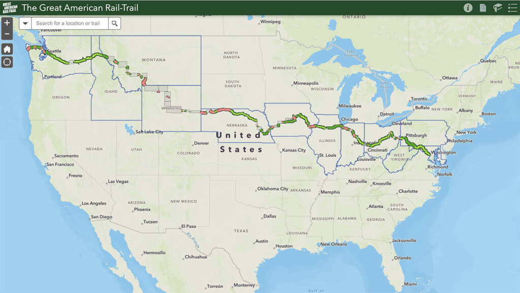
Our online interactive map gives a great overview of the open trails along the route as well as the status of the gaps in the trail network. Explore the Great American Rail-Trail entry on RTC’s TrailLink trail-finder app to read more about each of the 150+ host trails along the route. While there, you can subscribe to RTC’s TrailLink Unlimited, which offers you the ability to download GPX files and offline maps to use on your journey.
2) Does RTC provide official guidance on on-road routes to connect the open trail sections of the Great American Rail-Trail?
RTC provides limited guidance for on-road routes to connect the open trail sections of the Great American Rail-Trail, focusing only on those sections where there is such little trail connectivity that having some guidance is necessary. For those who are planning to trek across long segments of the Great American, this is your chance to flex your adventure muscles and develop a route that best suits your skills and desires. Spend some time exploring the open sections of the Great American Rail-Trail through our online interactive map as well as the Great American Rail-Trail entry on RTC’s TrailLink trail-finder app. Subscribing to RTC’s TrailLink Unlimited provides you the ability to get on-road directions between two trailheads. Those who would like to follow the Great American Rail-Trail and use on-road connections should have significant experience with on-road travel.
3) What on-road routes are available?
Mountain West Detour Route
RTC and Adventure Cycling Association partnered to develop a temporary detour route for the 960-mile gap between Chadron, Nebraska, and St. Regis, Montana.
Large trail gaps currently exist in the Mountain West, and towns with amenities important to long-distance trail users are less frequent than along the rest of the route. While RTC continues to work with our partners in the 960-mile section between Chadron, Nebraska, and St. Regis, Montana, to develop multiuse trails that can help fill these gaps, it’s important that we support long-distance cyclists through this section. That’s why RTC and Adventure Cycling Association partnered to develop a temporary detour route, providing long-distance cyclists with a vetted option that meets several important criteria: following roads with lower traffic volumes and speeds, being reasonably direct, and routed through towns with amenities important to long-distance trail users. The route includes alternatives between Lovell, Wyoming, and Livingston, Montana, for people who prefer to travel through Yellowstone National Park and for those who prefer to avoid its busy, winding roads. Places of interest mapped along the detour route include hotels and motels, campgrounds, restaurants, grocery stores, and more.
4) Where can I find information about amenities on my trip, like where to stay, eat and get water?
Many trails offer a variety of amenities. Some trails have towns spaced every few miles where you can stop and get supplies, while others are more spaced out. A long-distance journey will require proper planning so you have the right supplies throughout your journey. Spend some time exploring the Great American Rail-Trail entry on RTC’s TrailLink trail-finder app (and don’t miss the individual entries of the 145+ host trails along the route) for information. Many trails have their own websites that will provide details on amenities and contact information—these websites can be accessed directly from each trail’s TrailLink entry. Here’s another chance you have to flex your adventure skills in your research before your trip! Other useful resources include:
- Adventure Cycling Association: Our friends at Adventure Cycling provide great resources on long-distance bicycle touring.
- Warm Showers: Warm Showers is a community of bicycle tourists and those who support them, with other 100,000 listed hosts of bicycle travels across the world
5) How can I connect with other people who may have advice on the route and route amenities?
Spend some time on the Great American Rail-Trail Facebook page. You can get updates on the trail, read posts and comments about people’s adventures, and you can pose a question about a specific area and see if people have advice. Check in on the hashtag #GRTAmerican on various social media platforms to see posts from people who are talking about the trail. Feel free to reach out to us at GRTAmerican@railstotrails.org with specific questions and we can help or point you to the right people on the ground.
6) What cities does the Great American Rail-Trail travel through?
In addition to the scores of small towns that host the Great American Rail-Trail, you’ll experience the following cities with populations above 50,000, from east to west: Washington, D.C.; Pittsburgh, Pennsylvania.; Columbus, Ohio; Dayton, Ohio; Muncie, Indiana; Chicago, Illinois (route travels south of Chicago but connects closely via a trail system); Joliet, Illinois; Quad Cities, Illinois & Iowa; Cedar Rapids, Iowa; Waterloo, Iowa; Council Bluffs, Iowa; Omaha, Nebraska; Lincoln, Nebraska; Casper, Wyoming; Bozeman, Montana; Missoula, Montana; Redmond, Washington; and Seattle, Washington. You can also explore which the towns and cities that the Great American traverses on the interactive map.
7) I want to dip my bike tires in both oceans. Why doesn’t the Great American Rail-Trail extend to the Atlantic Ocean?
Washington, D.C., is the eastern terminus of the Great American Rail-Trail, right at the steps of the U.S. Capitol. This is an important marker for the trail, given the critical role of federal funding to build the nation’s trails. Plus, D.C. is filled with rich history and a great trail network. Those wishing to take a full coast-to-coast journey will need to explore on-road options to reach the Atlantic—there are few trails that will take travelers eastward to the ocean, and non-motorized users are not allowed on the Chesapeake Bay Bridge, which necessitates a lengthy detour around the northern end of the bay.
8) When I’m on my journey, how can I keep in touch with you?
Feel free to email us at GRTAmerican@railstotrails.org with questions, and don’t hesitate to share your thoughts after your journey. Be sure to use the hashtag #GRTAmerican to share your journey on social media platforms and connect with other trail users, too. If you find yourself in Washington, D.C. (the eastern terminus of the trail, and where our main office is located), reach out if you want to coordinate an in-person meeting. We’d love to hear about your travels!
Tips for Long-Distance Trips

How to Be Equipment-Ready for Your First Long-Distance Trail Ride

Four Long-Distance Rides Along the Great American Rail-Trail
Great American Rail-Trail: Long-Distance Adventures
Shop Great American Rail-Trail Gear
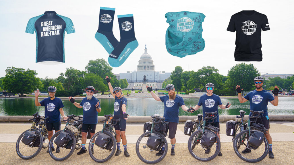
Shop Great American Rail-Trail gear including a jersey, t-shirt, socks and gaiter to celebrate the trail connecting the country.