Photos of Eastern Trail in Portland, Maine
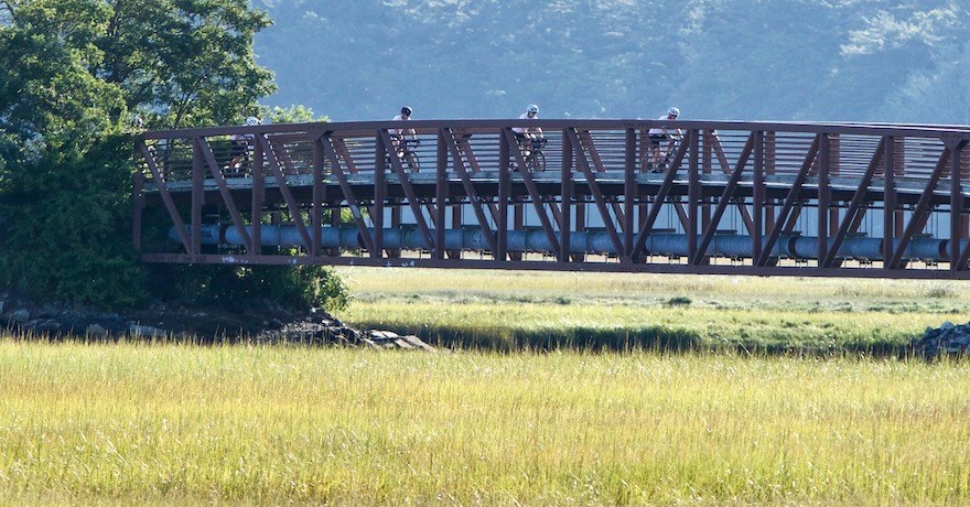
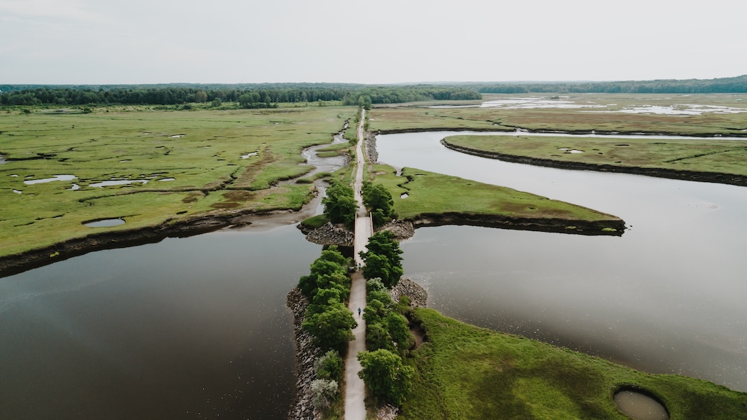
From quiet pine forests to a bustling working waterfront, and from wide sandy beaches to rocky shores, the 65-mile Eastern Trail—currently 30 percent complete—offers a vivid snapshot of Maine’s many charms. The multiuse trail, which follows the corridor of the historic Eastern Railroad, packs plenty of variety into its north-south route from South Portland to Kittery.
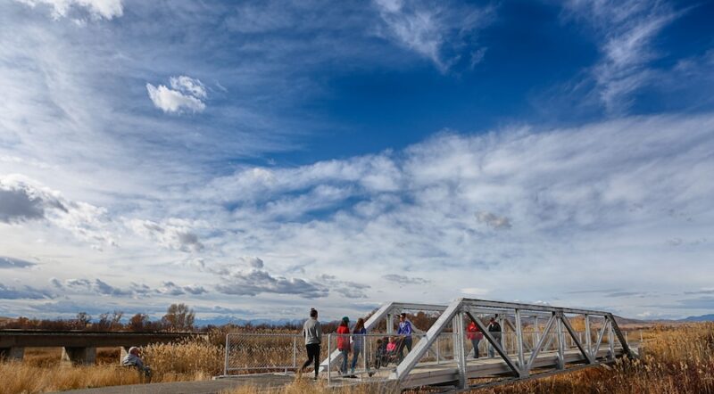
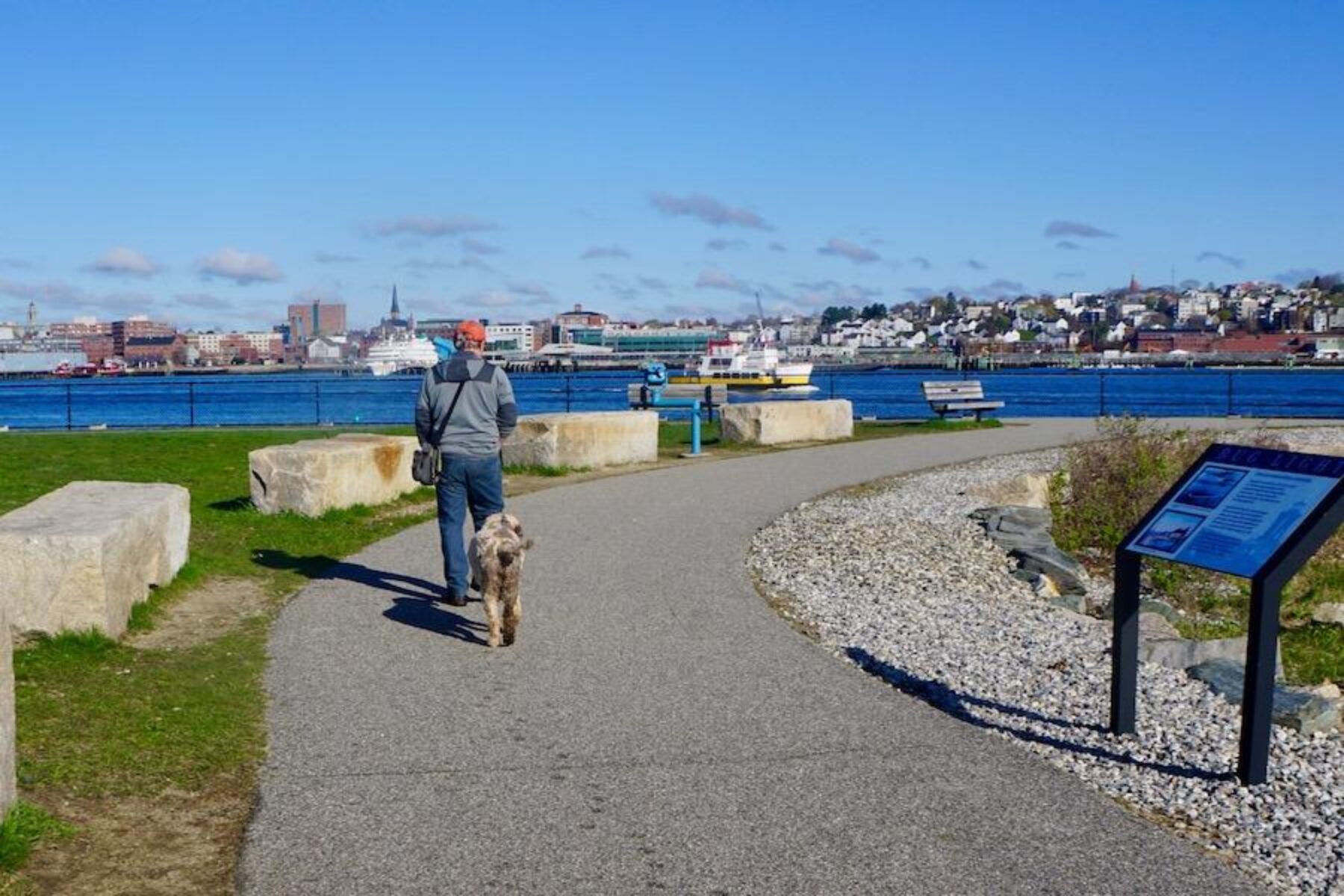
Along the way, trail users can take in lobster boats skirting the picturesque Bug Light lighthouse in South Portland, watch snowy egrets wading in the ponds of the Scarborough Marsh, or detour a few blocks to dip their toes into the Atlantic Ocean at Old Orchard Beach. The trail also passes through dense pine forests and quaint coastal towns.
Within the next year or two, organizers say a 1.6-mile gap will be closed, allowing trail users to travel off-road for more than 16 miles from Bug Light to Saco. The Eastern Trail is also a part of the much larger 3,000-mile developing East Coast Greenway.
The Eastern Trail is managed by the Eastern Trail Management District and the Eastern Trail Alliance.
Photos of Eastern Trail
Tap image to view in photo gallery with captions.
 is the perfect place to set out on a southbound exploration of Southern Maine’s Eastern Trail. The lighthouse park offers parking as well as sweeping views of Portland. Photo by Cindy Barks.")


, it is a fairly quick trip off the main trail. Photo by Cindy Barks.")


Donate
Everyone deserves access to safe ways to walk, bike, and be active outdoors.
Related
View All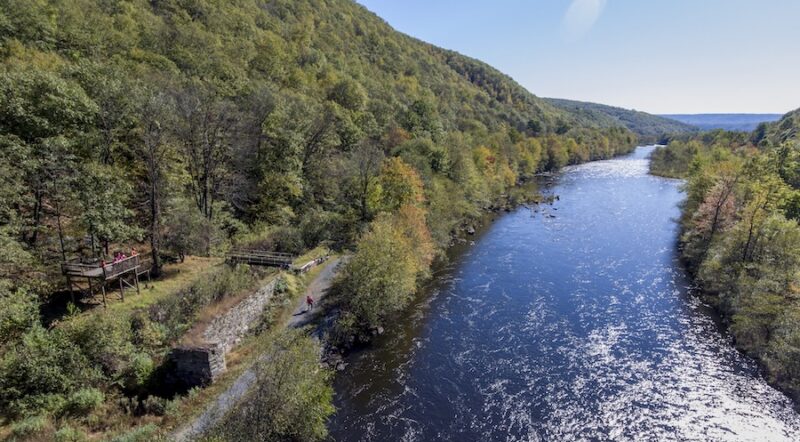
Life, Liberty and the Pursuit of Happiness: Pennsylvania’s Delaware & Lehigh Trail

Best Of: Trailside Sites That Encapsulate America’s History