Miami LOOP
Florida’s Rickenbaker Trail | Photo by Ken Bryan
Vision
The Miami LOOP is a 225-mile trail vision to expand transportation options, make biking and walking safer and more equitable, strengthen the regional economy, reduce the area’s carbon footprint, and improve health and wellness across Miami-Dade County.
The Miami-Dade Trail Alliance has recently begun to organize to turn vision into reality by serving as a collective voice for the project and its diverse network of trails—with a goal of enriching the quality of life for all people in the region through equitable access to active transportation and outdoor recreation.
Approximately 54 percent of the network is already complete, and nearly 86 percent of the LOOP’s proposed corridors are publicly owned.
The LOOP Footprint
The Miami LOOP will have an incredible impact on the way people can get to community destinations and major cultural attractions—greatly reducing the area’s dependence on automobiles and opening up pathways for the high percentage of Miamians who don’t, or can’t, afford to drive. Its greenspace, trail-transit, cultural and health connections will help spark a new era of regional competitiveness for Miami-Dade County.
These corridors, which vary greatly from rural to urban and suburban, include: the Atlantic Greenway in South Beach, which offers stunning ocean views as it parallels the Atlantic Coastline; The Underline and the Flagler Trail—rail-with-trail facilities that do/will interact with passenger rail or dedicated busway service to form a north-south backbone from Broward County south to Monroe County; and many other key connections that weave together Downtown Miami, museums, cultural centers, the Port of Miami, Homestead Motor Speedway and two national parks, including Biscayne and Everglades.
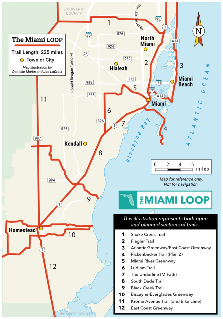
The following trails make up the Miami LOOP’s core route:
Stories from the LOOP
View More Blogs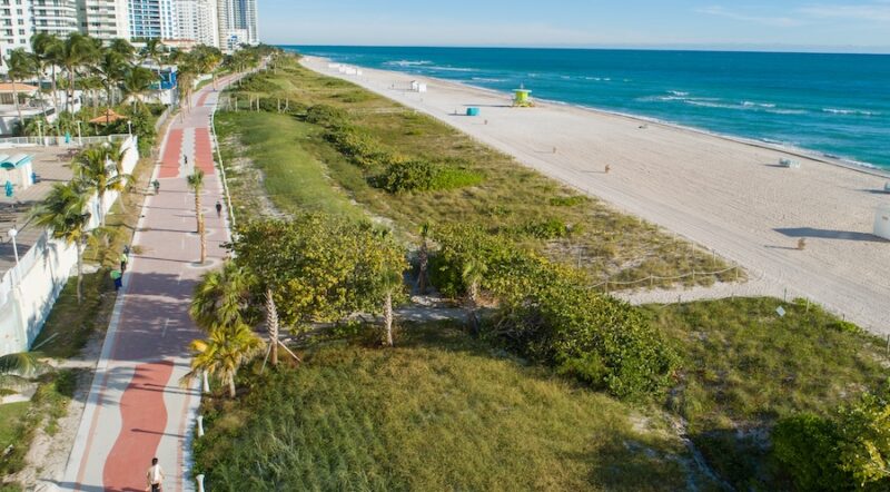
Best Of: Summer Boardwalks and Pathways
Rails-to-Trails Conservancy Awards $300,000+ to Support Inclusive Trail Projects Across the Nation

2021 RTC Fall Trail Grants Supporting Equitable Trail Access Around the Nation
Expanding Transportation Options
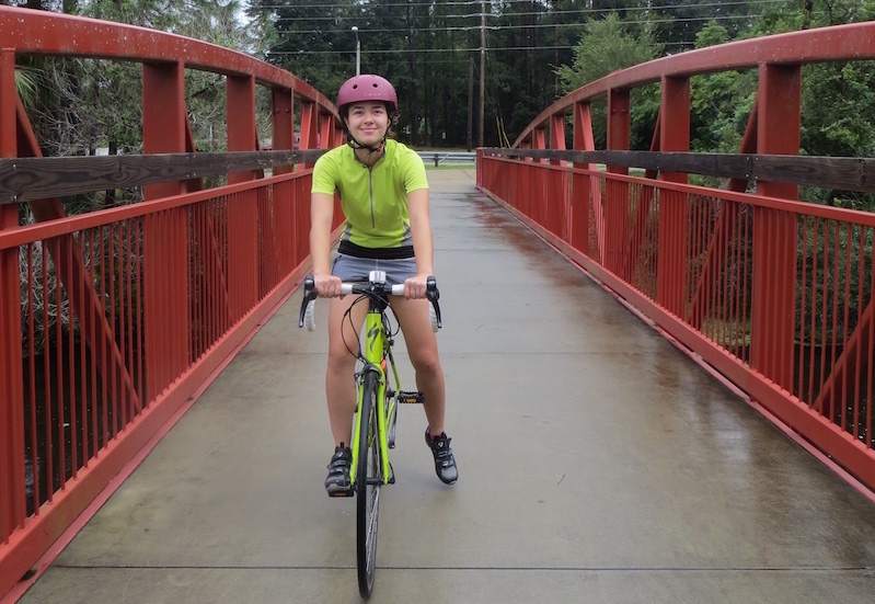
In Florida, bicycle commuting is on the rise, having increased by nearly 60 percent since 2005. Despite this rise, however, Miami still ranks 30th on the list of top cities in the U.S. for bike commuting, and rates of walking and biking haven’t increased in the past few years. People are more likely to shift from driving to bicycling if they feel safer and more comfortable in their environment—and the Miami LOOP will create safe, seamless transportation connections to public transit, health-care facilities, schools, parks and many other destinations, encouraging more active transportation in the region.
Strengthening the Regional Economy
The region’s beaches, downtown area and national parks—including Everglades and Biscayne—are some of the most popular tourist attractions in the world. Unfortunately, they’re not easy to get to by any mode other than a car. By connecting key trail corridors, the Miami LOOP will amplify tourism through the creation of “linked visitor experiences” and a regionwide cultural identity—which has the potential to generate trailside businesses, a stronger bicycling economy and new commercial opportunities.
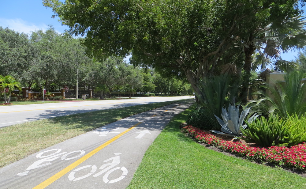
Safer, More Equitable Transportation
The Miami-Dade region is one of the most auto-dependent in the country—and one of the nation’s least safe for bikers and pedestrians. Despite the emphasis on a car culture, thousands of people in the region (and 20 percent of Miami residents) do not—or cannot afford to—own cars. Smart investments in the region’s trail system will fill small, targeted gaps in the area’s biking and walking infrastructure, create a seamless network of routes to transit hubs and points of interest, and combat the area’s high bicyclist and pedestrian fatality rates.
Protecting Our Environment
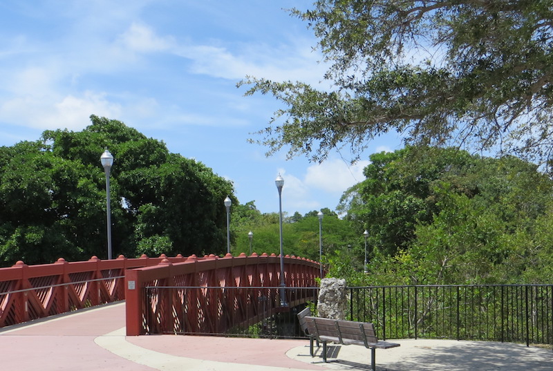
The environmental benefits of green infrastructure are strongest when open spaces are connected. The Miami LOOP will play a role in Florida’s ambitious plan to decrease the city’s carbon footprint and combat climate change. Miami-Dade County estimates that The Underline and the Ludlam Trail will result in nearly 8 million vehicle miles avoided annually. This results in upwards of 119 million avoided miles over 15 years (the average life of a trail surface)—nearly the average distance from Earth to Mars.
A Healthier, Happier Community
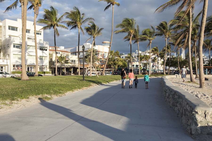
When people have safe places to walk within 10 minutes of their home, they are one and a half times more likely to meet the recommended activity levels than those who don’t. Compounding that: Research suggests that some of the happiest places on the planet are those where people have safe, balanced options for transportation, recreation and those all-important connections to nature.