Capital Trails Network Cost Estimate
Why predict the cost of the network?
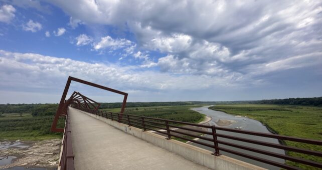
The Capital Trails Coalition seeks to create an 800-miles-plus world-class network of multiuse trails that are equitably distributed throughout the Washington, D.C., metropolitan region. The trail network is a key strategy in an effort to create a healthier, more connected populace. With the third-highest amount of traffic in the nation, Metropolitan Washington, D.C., drivers spend 102 hours each year in traffic delays.1 This cost estimate is the next step in supporting the completion of the Capital Trails Network and providing safe access to reliable transportation and open space for the more than 6 million people in the region. As of 2019, 469 miles of the Capital Trails Network were on the ground, and 408 miles of planned trails were identified to complete the network. The Capital Trails Coalition and Rails-to-Trails Conservancy (RTC) collaborated to generate a cost estimate to provide stakeholders with information necessary to help guide the complete of network trail gaps.
How was a cost estimate generated?
Representatives from the Capital Trails Coalition held meetings with government agency staff members in each of the jurisdictions to gather actual costs from recently completed trail projects, as well as locally known project cost estimates. Where estimated costs were not known locally, the team aggregated regional data, including capital improvement plans and federal funding programs, to generate per-mile cost estimates. Cost estimates were created for project categories based on location (e.g., urban, suburban and rural) and perceived difficulty (easier, moderate or difficult). Current cost estimates do not include costs for potential right-of-way acquisition, which will vary by project.
What is the cost estimate?
The estimated cost to complete the remaining segments of the Capital Trails Network is $1.1 billion. At 408 miles to go, that equates to approximately $2.7 million per mile. Ten percent of the cost estimate is funded or has funds already appropriated, reducing the total cost to $1 billion. The top 20 most expensive projects within the Capital Trails Network account for 50% of the cost estimate. Long-distance trails and complex urban projects comprise the top 20 most expensive projects within the network and are not representative of average trail project costs. The Coalition has identified 11 Priority Projects across the region that fit certain criteria, an estimated cost of $189 million.
How do I find out more?
For questions about the cost estimate, contact Liz Thorstensen, Rails-to-Trails Conservancy, at liz@railstotrails.org.
To learn more about the Capital Trails Network, visit the Capital Trails Coalition website at capitaltrailscoalition.org, or contact Stephanie Piperno, trails coalition coordinator for the Washington Area Bicyclist Association, at stephanie.piperno@waba.org.
1 David Shrank, Bill Eisele, and Tim Lomax, 2019 Urban Mobility Report (Texas: Texas A&M Transportation Institute/INRIX, 2019), https://static.tti.tamu.edu/tti.tamu.edu/documents/umr/archive/mobility-report-2019.pdf.

Donate
Everyone deserves access to safe ways to walk, bike, and be active outdoors.