TrailBlog
Great American Rail-Trail illustration by Anderson Design
Rails to Trails Conservancy’s TrailBlog explores the world of trails, walking and bicycling, including industry news, amazing and impactful trail destinations, the unique history to be found across trails and the movement, and the leaders and communities shaping trail network development today. Get stories emailed to your inbox each month.
Search By Topic, State or View All
View All Stories

Press Release
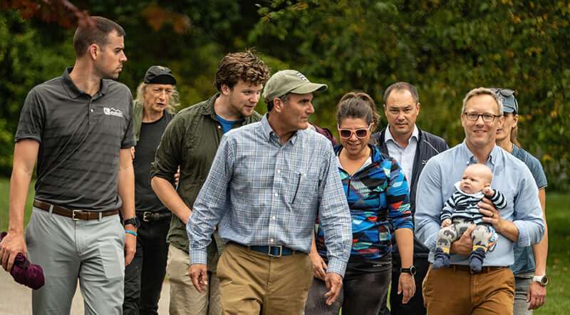
Court Sides with Advocates for Derry Rail Trail Tunnel in Lawsuit Over Historic Rail Corridor
June 30, 2025
Using Trails
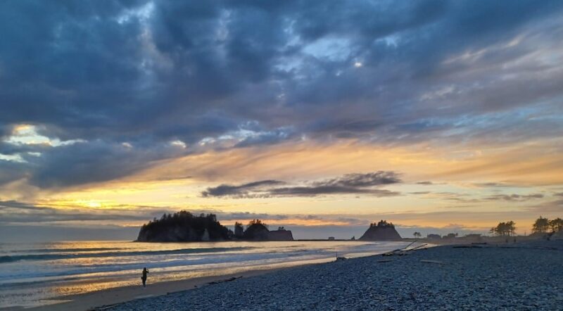
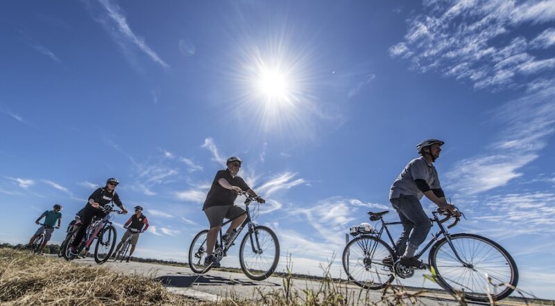
Trail Moments | A Mental and Physical Journey Along the Great American Rail-Trail
June 09, 2025
America’s Trails
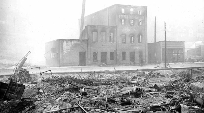
The Big Burn: Exploring the Great Fire of 1910 in Idaho and Montana
June 09, 2025
America’s Trails
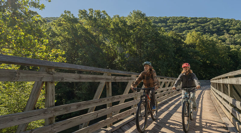
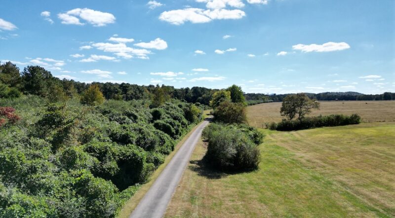
The Great Connector: How West Virginia’s Greenbrier River Trail Is Fostering Recreation and Revitalization in the Allegheny Highlands
June 05, 2025
Using Trails
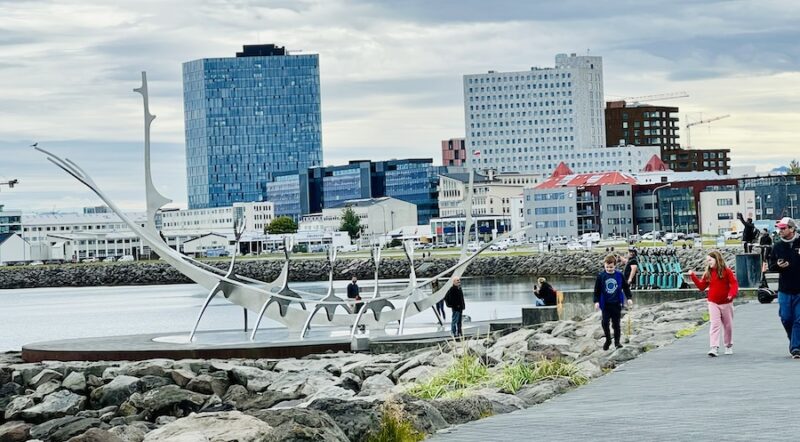
BEST Of: Cultural Walking and Biking Hubs in European Capitals
June 05, 2025
America’s Trails
Alabama’s Chief Ladiga Trail: June 2025 Trail of the Month
June 04, 2025

Press Release
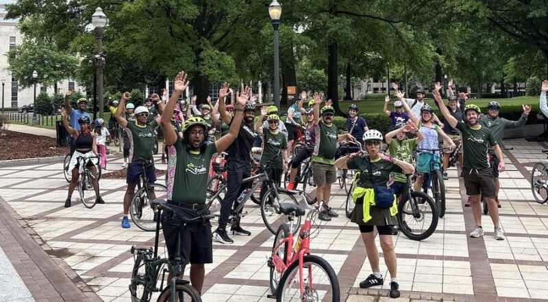
Celebrate Trails Day Uplifts Far-Reaching Impact of Connected Trails Nationwide
May 22, 2025
Using Trails
The Impact of Celebrate Trails Day 2025
May 22, 2025
America’s Trails
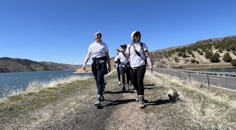
Utah’s Historic Union Pacific Rail Trail State Park: May 2025 Trail of the Month
May 09, 2025
America’s Trails
Trailblazing Arkansas: How Trails Are Powering a Statewide Transformation
May 08, 2025
Policy
Bi-Partisan Leadership Fuels State-Level Trail Investment in 2024
May 08, 2025

Using Trails
A Taste of the Great American Rail-Trail
May 08, 2025
Get Our Monthly Newsletter
featuring our latest digital articles, updates on the Great American Rail-Trail®, Trail of the Month features, personal trail stories and much more.

Donate
Everyone deserves access to safe ways to walk, bike and be active outdoors.