Four Long-Distance Rides Along the Great American Rail-Trail
What better way to experience the beauty of America’s amazingly diverse landscapes than by bicycle? When complete, the Great American Rail-Trail will span some 3,700 miles across 12 states and the District of Columbia, but more than half the route is ready to ride now. Here are four sections of the Great American that span 100 miles or more with minimal on-street connections—perfect for multiday adventuring. We’ve included links to TrailLink.com, where you’ll find interactive maps for each trail, and you can also check out our long-distance riding tips to start planning your adventure!
All mileages listed below are approximate.
WASHINGTON, DC/PENNSYLVANIA
DC to Pittsburgh
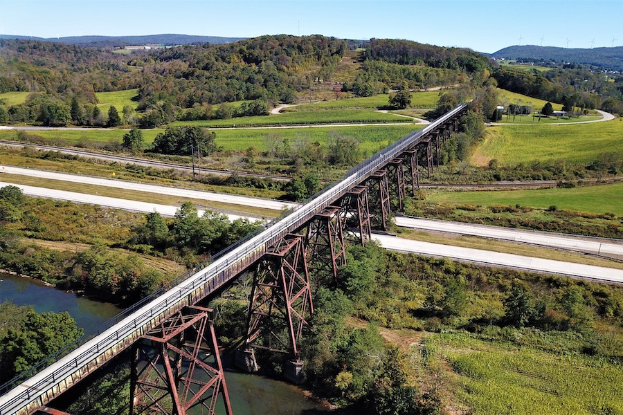
LENGTH: 335 miles
WHAT TO SEE: A journey westward along the Great American Rail-Trail begins at the steps of the U.S. Capitol in Washington, D.C. The trail here travels by some of the most iconic landmarks in the nation’s capital along the National Mall, including the Washington Monument and the Smithsonian museums. At the Lincoln Memorial, the trail heads north through Rock Creek Park, an expansive natural oasis in the heart of the city.
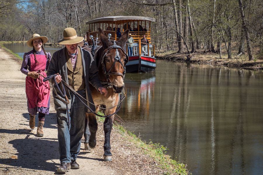
The route then picks up the Capital Crescent Trail in the vibrant Georgetown neighborhood, and flows into the towpath of the Chesapeake and Ohio (C&O) Canal National Historical Park, which stretches from Washington, D.C., to Cumberland, Maryland. Hundreds of original features can be seen along the way, including canal locks, lock houses, aqueducts and other canal structures.
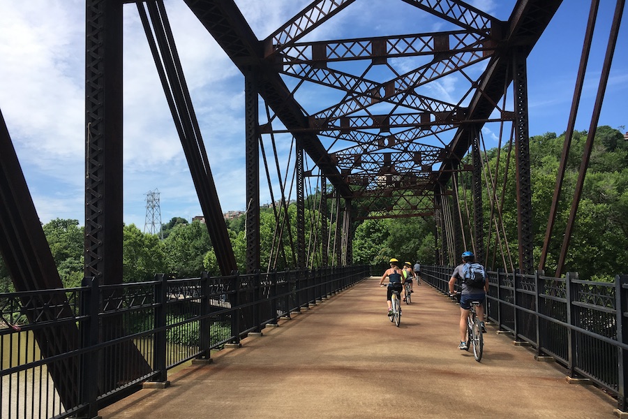
From Cumberland, the trail connects to the Great Allegheny Passage (GAP) (gaptrail.org), an iconic rail-trail that runs 150 miles all the way to Pittsburgh. Cool nods to its railroad history include the Salisbury Viaduct, Keystone Viaduct and Big Savage Tunnel.
In Pittsburgh, travelers can pick up the Three Rivers Heritage Trail, which links some of the city’s top attractions, historical sites and parks along its namesake three rivers: the Allegheny, Ohio and Monongahela.
SURFACE:The C&O Canal Towpath is primary crushed stone, although there are some sections with varied surfaces such as dirt towpath. The Great Allegheny Passage (gaptrail.org) is surfaced with crushed stone. The National Mall pathways, Rock Creek Park Trails, Capital Crescent Trail and Three Rivers Heritage Trail are primarily paved.
WHERE TO STAY: The cities that bookend this route—Washington, D.C., and Pittsburgh—offer a plethora of lodging options. The Great Allegheny Passage website (gaptrail.org) also lists dozens of accommodations, including for camping. There are campgrounds along the C&O Canal Towpath, too, and you can even stay the night in one of a handful of restored lockhouses.
OHIO
Fredericksburg to Dayton
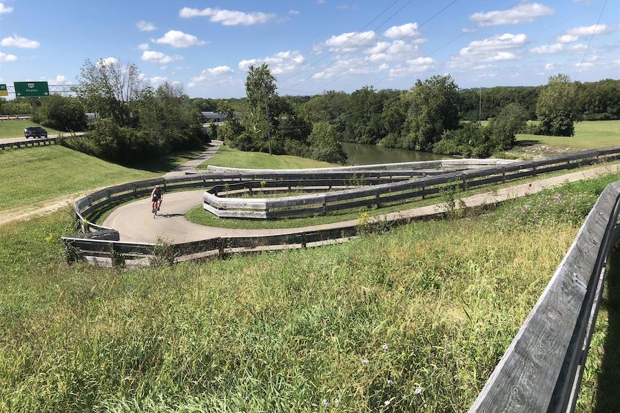
LENGTH: 181 miles
WHAT TO SEE: This route offers a quintessential taste of Ohio, from its Amish country around Fredericksburg to two of its big-city jewels: Columbus and Dayton. The eastern leg of the trip includes trails that are part of the vast Ohio to Erie Trail, which extends north to Cleveland and south to Cincinnati (beyond the route we’ve included here). The western leg of our route, centered around Dayton, includes trails that are part of the Miami Valley Trails system, which—at 340 miles—is the nation’s largest paved trail network.
The first two trails in our route—the Holmes County Trail and the Mohican Valley Trail—offer some of Ohio’s best rural landscapes, plus a charming covered bridge, the Bridge of Dreams. The Kokosing Gap Trail picks up in Danville and offers a true rail-trail experience with a couple of railroad bridges and an old locomotive and bright red caboose on display.
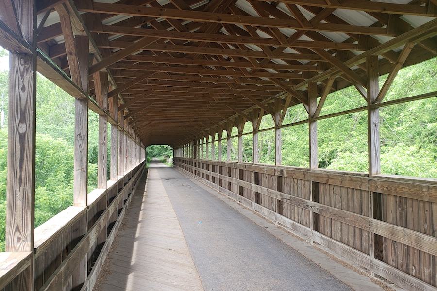
A slice of quiet, picturesque countryside is what the Heart of Ohio Trail provides next, then you’ll have about 10 miles of on-road riding to the Galena Brick Trail, a mile-long pathway named after the town’s historical Galena Shale Tile and Brick Company circa the 1890s. On the south side of Galena, you can join the Hoover Scenic Trail and enjoy great views of the Hoover Reservoir. Connect to the Genoa Trail and weave through many landscapes, including some wonderful residential neighborhoods, to trail’s end at the border of Westerville. The town offers an exceptional trail system, the Westerville B&W.
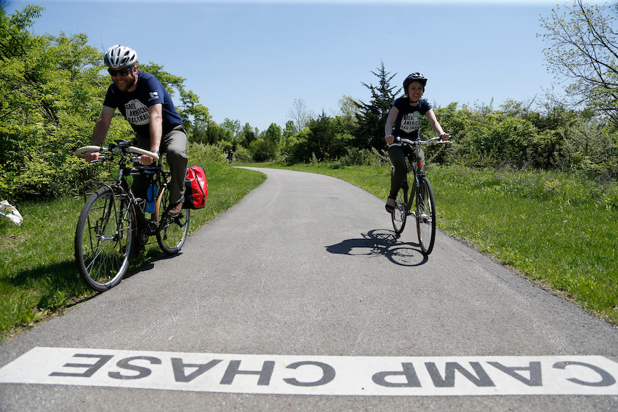
The Alum Creek Greenway Trail begins at Westerville’s Main Street and heads south, traveling through Columbus as it follows a tree-lined riparian corridor dotted with parks. At I-670, the Downtown Connector Trail takes travelers into the city center. The Scioto River winds right through downtown, and the Scioto Greenway Trail hugs its banks. The Camp Chase Trail, a great example of a well-constructed rail-with-trail as it parallels an active railroad of the same name, begins on the outskirts of Columbus and brings travelers back into the country.
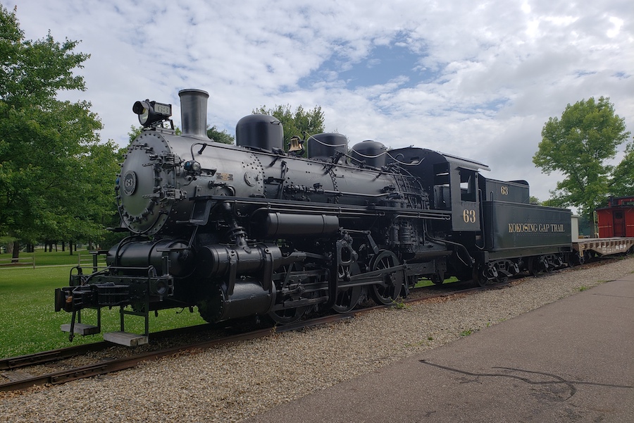
Seamlessly blending together, the Roberts Pass Trail picks up where Camp Chase ends in Madison County. Beautiful farmland and wetlands take you into the county seat of London, where you meet the Prairie Grass Trail. It crosses classic Ohio farm country to trail’s end at Xenia Station, where you’ll find a replica depot with a railroad museum inside. Here, you’ll pick up the Creekside Trail and head toward Dayton.
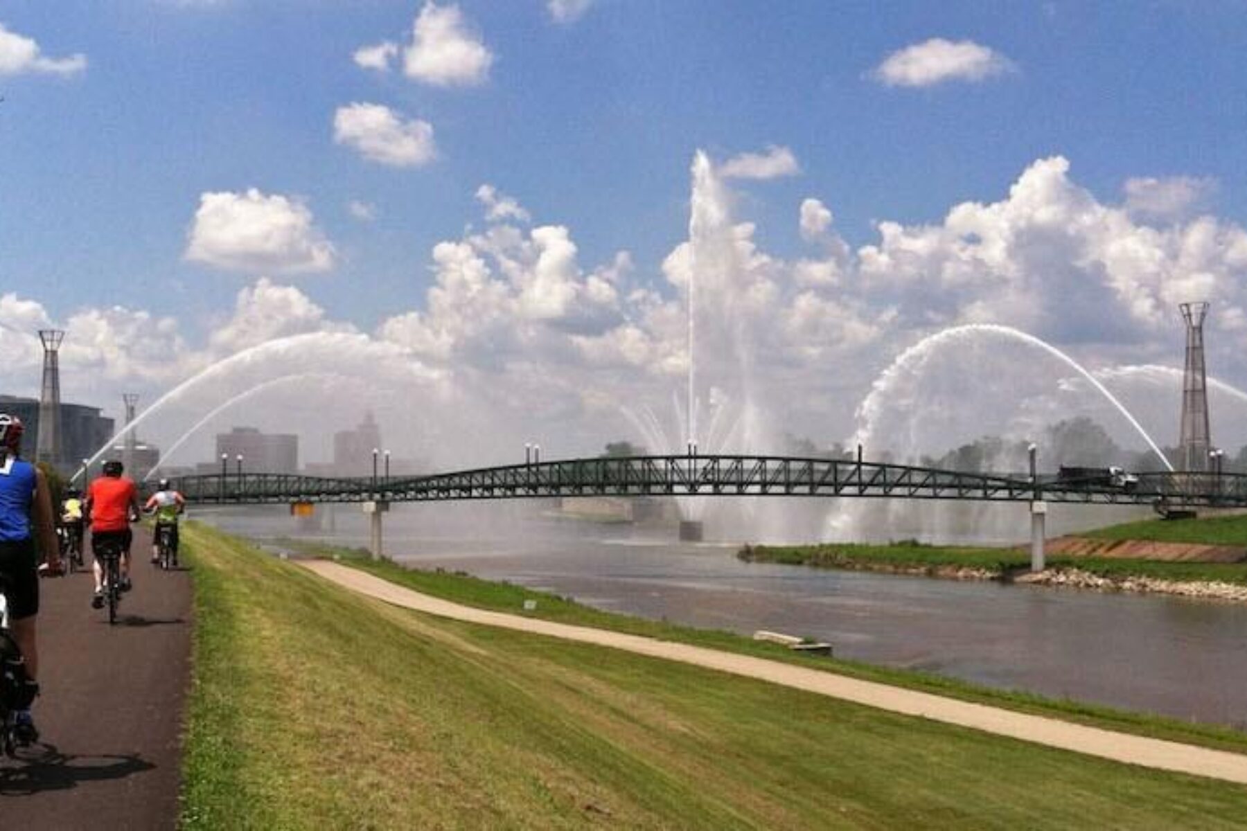
Traveling through Dayton’s east side, the Mad River Trail connects a handful of parks and passes near the National Museum of the U.S. Air Force. You’ll connect to and experience just a small section of the 86-mile Great Miami River Trail as you pedal through downtown’s RiverScape MetroPark. On the city’s west side, end your journey along a pretty waterway on the Wolf Creek Trail.
SURFACE: All of the trails included in this route are paved. The route is primarily a trail experience with a couple of small on-road connections; for details on navigating the route, travelers can visit ohiotoerietrail.org.
WHERE TO STAY: The Miami Valley Trails website has a great list of camping options sorted by trail. If you want to stay in the city, the Dayton Convention & Visitors Bureau and the Experience Columbus websites list lodging options. Another great resource to check out is Ohio’s tourism website.
NEBRASKA
Norfolk to Valentine
LENGTH: 187 miles
WHAT TO SEE: Nebraska’s Cowboy Recreation and Nature Trail offers an authentic Old West experience, small towns with genuine, friendly people and picturesque landscapes of the High Plains and pristine prairie. Another standout feature of this trail is its bridges: there are more than 200 of them along the entire route.
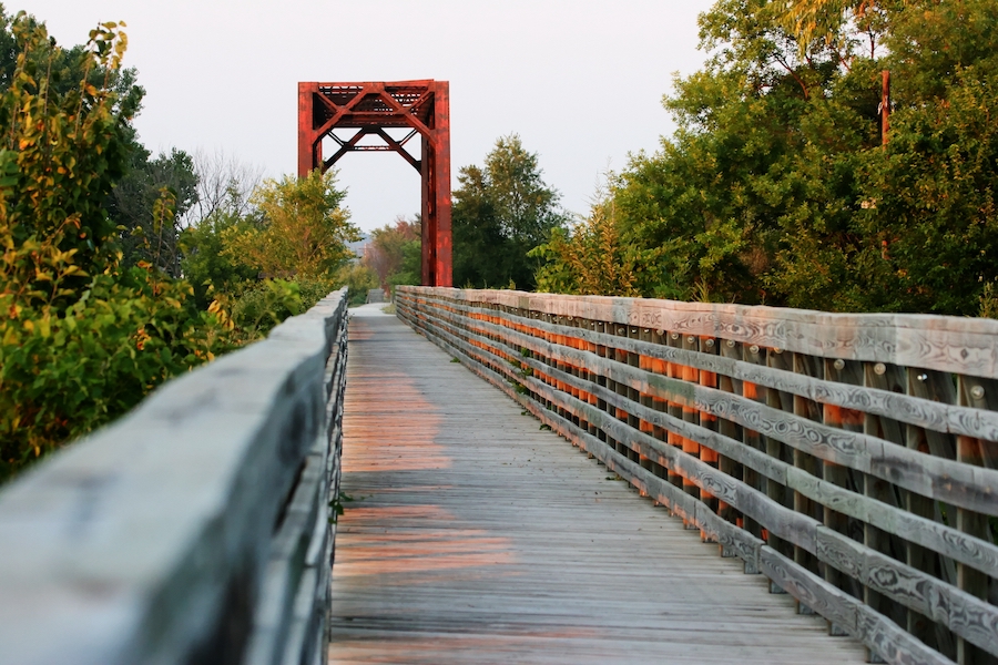
The eastern end of the trail begins in Norfolk, about a two-hour drive from Omaha and Lincoln, and traverses the lush Elkhorn River Valley and quiet countryside. Toward the western end of the trail, travelers will pass through the grass-covered dunes of Sandhill country. Just west of Long Pine, a crystal-clear creek of the same name is a local favorite for trout fishing and tubing.
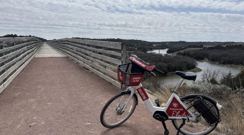
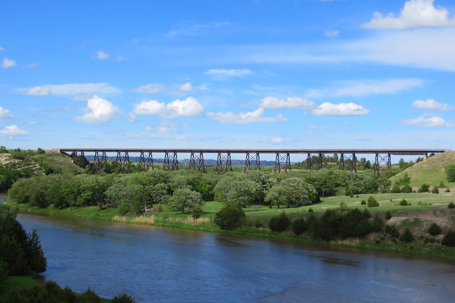
As you approach Valentine, you’ll experience a highlight of the route: the Cowboy Trail’s dramatic bridge over the Niobrara River, a National Scenic River. The impressive trestle spans a quarter mile and rises 148 feet above the water.
SURFACE: The majority of the trail is crushed limestone, though a few of the towns have short paved segments through their communities. Mountain or hybrid bikes will provide the best experience on this trail.
WHERE TO STAY: Many of the small towns along the route, spaced roughly 10 to 15 miles apart, offer lodging; search for options on the Visit Nebraska website or BikeCowboyTrail.com. On the east end of the trail, Ta-Ha-Zouka Park in Norfolk provides an opportunity for camping. On the trail’s western half, Long Pine State Recreation Area offers primitive camping.
WASHINGTON
Cedar Falls to Beverly
LENGTH: 110 miles
WHAT TO SEE: The expansive Palouse to Cascades State Park Trail, one of the longest rail-trails in the country, provides the opportunity to truly experience some of the best of landscapes of western and central Washington up close.
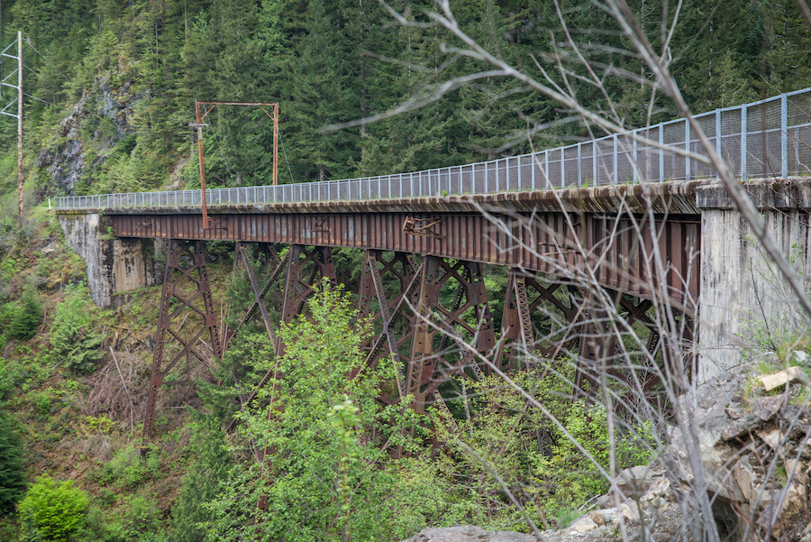
Begin in the scenic Rattlesnake Lake Recreation Area, nestled in the Cascade foothills, just 35 miles from downtown Seattle. As the trail heads east, it crosses a half-dozen canyons on trestles with sweeping mountain vistas and bores through the 100-year-old tunnel at Snoqualmie Pass. You’ll skirt two beautiful lakes ringed by forested mountains—Keechelus and Easton—and descend into the secluded Upper Yakima Canyon, traveling through two more tunnels.
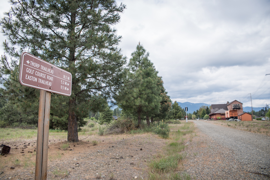
The old railroad yard in South Cle Elum, a National Historic Landmark, preserves the history of the Milwaukee Road corridor through a surviving depot and electric substation, as well as through descriptions of the foundations of other buildings.
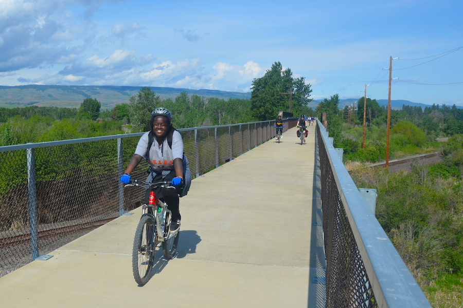
The trail breaks briefly at historic Ellensburg, which is the largest community on the corridor and home to Central Washington University. Past the city, the trail leaves the irrigated agricultural land and enters the drier landscape of the U.S. Army Yakima Training Center, where the trail then drops into the basin carved by the Pacific Northwest’s largest river, the Columbia.
Although this section of the trail ends at the river, future travelers will be able to cross the Columbia on the 2,200-foot-long Beverly Bridge, which is currently closed. The trail continues more than 100 miles from the other side of the river through the eastern half of the state, ending at the Idaho border. The state legislature recently passed a budget with funds to rehabilitate and open the iconic Beverly Bridge for trail use, which will make that connection possible.
SURFACE: Primarily well-packed, crushed stone; trail users will experience about 20 miles of loose sand as they travel through the U.S. Army Yakima Training Center area toward the eastern end of this route.
WHERE TO STAY: Along the Palouse to Cascades State Park Trail, a handful of campgrounds are available; visit the Washington State Parks website for details. For other types of lodging along the trail, visit the tourism websites for the communities of Cle Elum and Ellensburg, or the Kittitas County Chamber of Commerce and Central Washington websites.
Special thanks to Kevin Belanger who contributed to this article.

Donate
Everyone deserves access to safe ways to walk, bike, and be active outdoors.
