Michigan Trail System Makes Connections From Lake to Shining Lake
“Business owners in Wixom know that what’s good for the trail will be good for them.”
—John Hensler, trail manager of the Michigan Air Line Trail
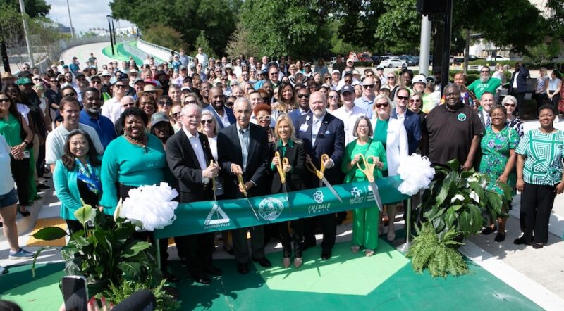
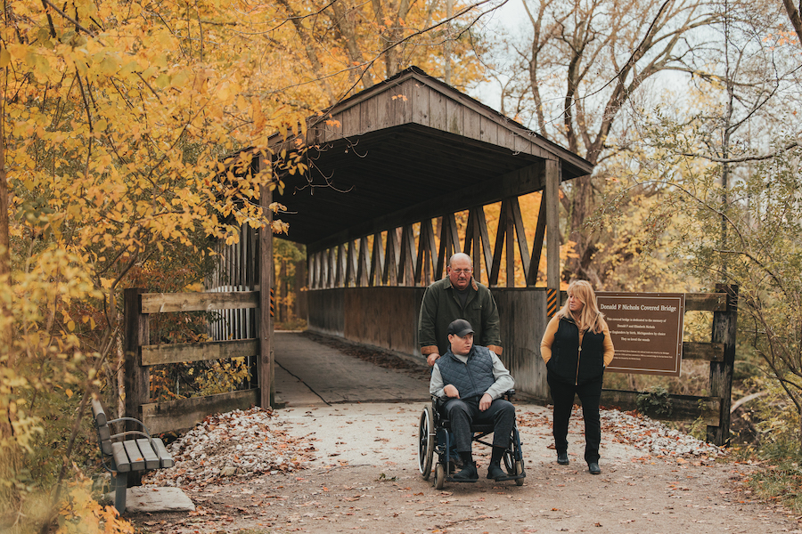
It was 2018, and if ever a community were eager to embrace a rail-trail project, it was Wixom, Michigan. Residents of the Detroit suburb had wrapped up the purchase of the former Michigan Air Line Railway corridor for recreational use. A local philanthropist had donated funds for trail engineering, and it seemed the Michigan Air Line Trail would soon be a reality.
Even as the drain fields were being dug and the asphalt laid, area businesses stepped up. The restaurant On the Dunes volunteered their parking lot as an official trailhead. Drafting Table Brewing Company invited cyclists to begin and end group rides at their establishment. And a new Wixom coffee shop, Trail’s Edge Café, made obvious their hospitality toward trail users.
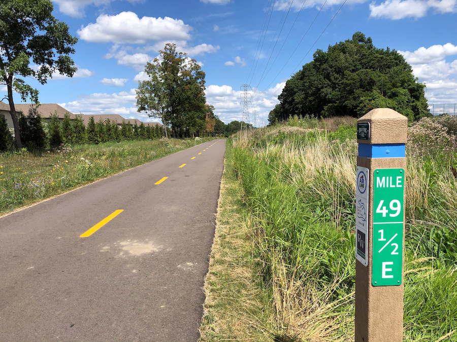
By summer 2022, the Michigan Air Line Trail will complete the final 2.5 miles of its 8-mile total, and enthusiasm among Wixom’s residents and business owners is high. But even more exciting than the trail’s completion is the news that the route will join the larger Great Lake-to-Lake Trails network. Because now, rather than merely attracting Detroiters, Wixom will be able to advertise itself to cross-state roadtrippers.
“Business owners in Wixom know that what’s good for the trail will be good for them,” said John Hensler, trail manager of the Michigan Air Line Trail. “We’re building this trail first and foremost for the Wixom area,” he said. “But the fact that we’ll be part of the larger network? That’s huge.”
RELATED: 2020’s Silver Lining: Six New Rail-Trails to Treasure
Building a Destination
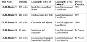
The GLTL initiative was first posited in 2017 as a means of knitting Michigan’s individual trails into a single entity. The project calls for the development of five distinct routes connecting dozens of trails across the state (see sidebar for details). It was seen as a boon not only to outdoor enthusiasts, but to those interested in tourism promotion and business development.
“The idea is to create destination trails, trails that will attract large numbers of people,” said Andrea LaFontaine, executive director of both the Michigan Trails and Greenways Alliance and the Great Lake-to-Lake Trails Alliance. “Drawing more people to an area naturally draws more money to a destination.”
Additional visitors boost the profits of existing businesses. They also make it possible for communities to increase employment and develop new businesses which serve not only trail users, but locals as well.
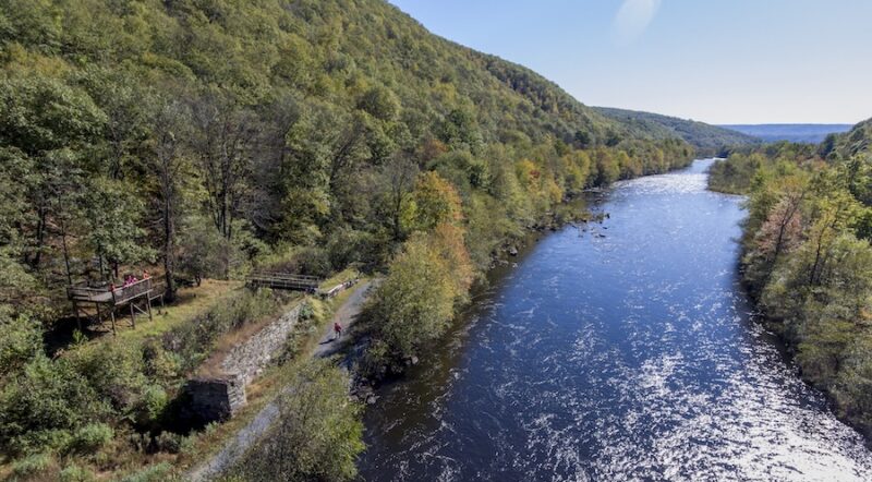
Michigan’s GLTL network drew inspiration from the success of the Great Allegheny Passage (gaptrail.org). The GAP, which leads from Pittsburgh to Cumberland, Maryland, was completed in 2013 and serves as a poster child for trail network initiatives nationwide. Along the length of its 150 miles, the GAP passes through landscapes similar to Michigan’s: urban areas and small towns, state parks, inland lakes and rivers, former industrial towns.
In a comprehensive study completed in 2019, the Great Allegheny Passage Conservancy reported more than 1 million visitors annually, from all 50 states and 35 countries, contributing an estimated $121 million annually in revenue, $74.7 million of which came in direct tourism spending. That works out to more than $800,000 of economic impact per mile of trail every year. During the same timeframe, property values for homes and businesses on the trail rose 6% over those of their non-trail counterparts.
Furthermore, residents believed the GAP improved the quality of their lives in ways that couldn’t be measured with dollar signs. Trail-based home and business owners reported they were more likely to exercise due to their proximity to the GAP. Residents appreciated the diverse mix of businesses that arose along the trail. And small communities that feared economic collapse viewed the GAP as a lifeline.
RELATED: A View From … Michigan’s Great Lake-to-Lake Trails
Laying the Groundwork
Michigan’s trail organizers were encouraged by the GAP study, which was supported by similar data from the Ohio & Erie Canalway Towpath Trail in northeastern Ohio and the Katy Trail in Missouri. GLTL trail advocates worked out a crosshatch pattern of interconnected trails across Michigan’s Upper and Lower Peninsulas to create the Great Lake-to-Lake Trails system.
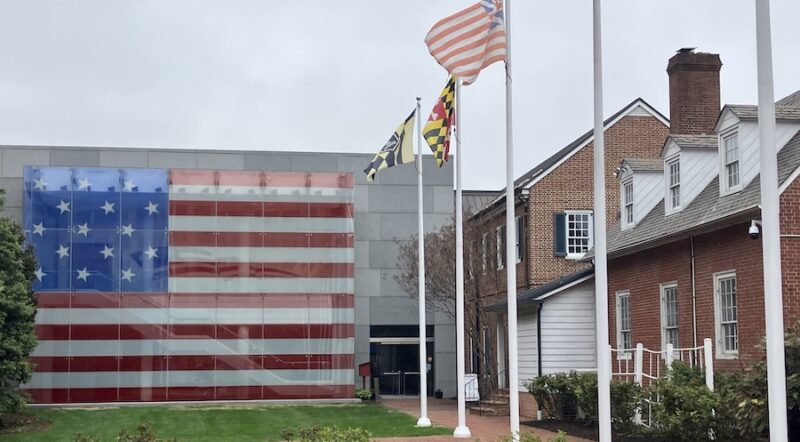
Additionally, GLTL advocates tied into another statewide trail system, Michigan’s Iron Belle. The longest designated state trail in the nation, the Iron Belle includes two distinct routes: one for pedestrians at 1,273 miles, and one for cyclists at 791 miles. Both Iron Belle routes begin and end in Detroit’s Belle Isle State Park and in Ironwood, in Michigan’s far western Upper Peninsula. Both trails are approximately 65% complete.

To knit together Michigan’s individual trails into a viable whole, stakeholders ranging from small trail towns to regional trail alliances were invited to a series of Trails Summits organized by the Michigan Trails and Greenways Alliance. At the summits, communities discussed problems, such as how to negotiate easements, and offered suggestions, like how to create useful signage.
John Hensler of the Michigan Air Line Trail gathered ideas for designing safe road crossings. “We discovered that other communities had successfully addressed this problem, and it saved us a lot of effort,” said Hensler. Now, as Wixom applies to become an official Pure Michigan Trail Town, a complicated process that they hope to complete in 2023, Hensler is taking notes. “I hope we’ll be asked to share tips at a future Trails Summit.”
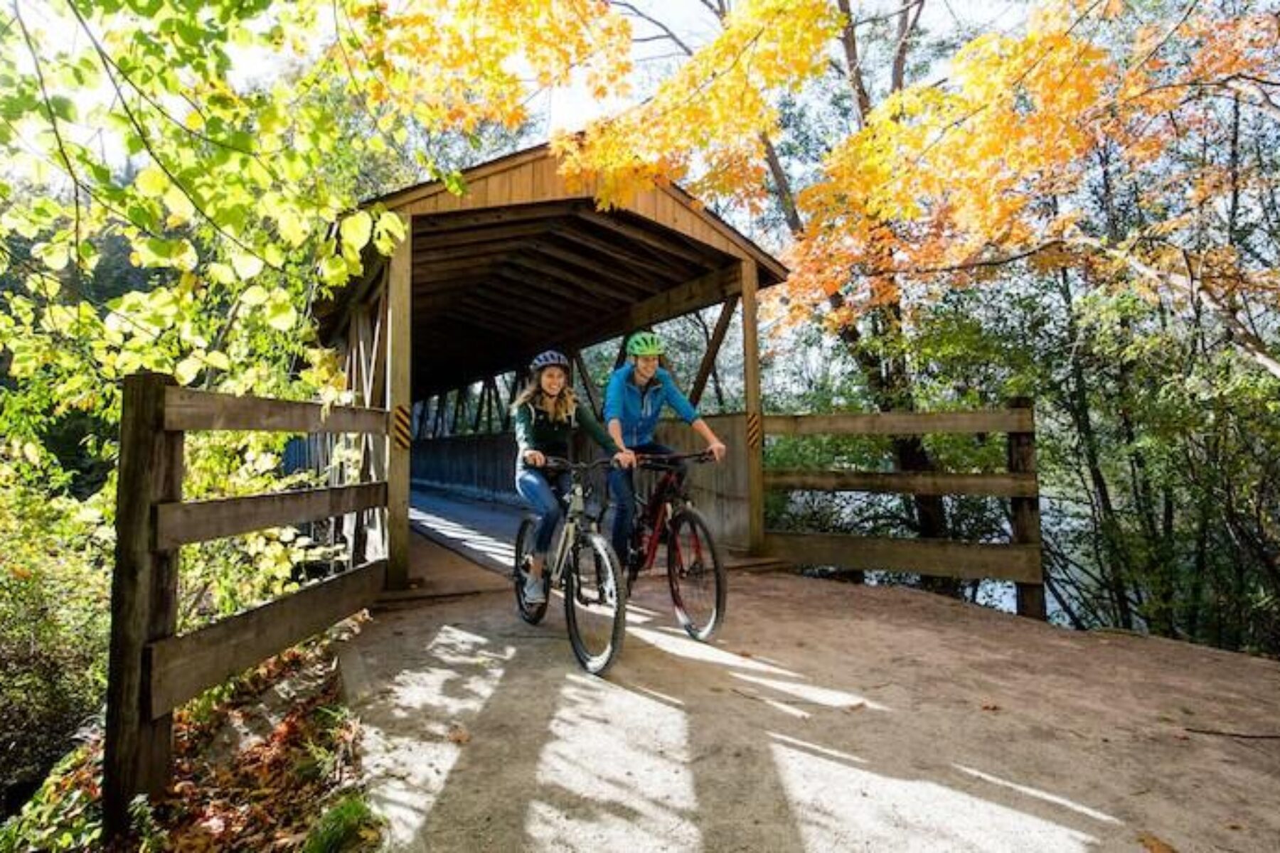
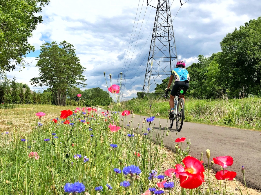
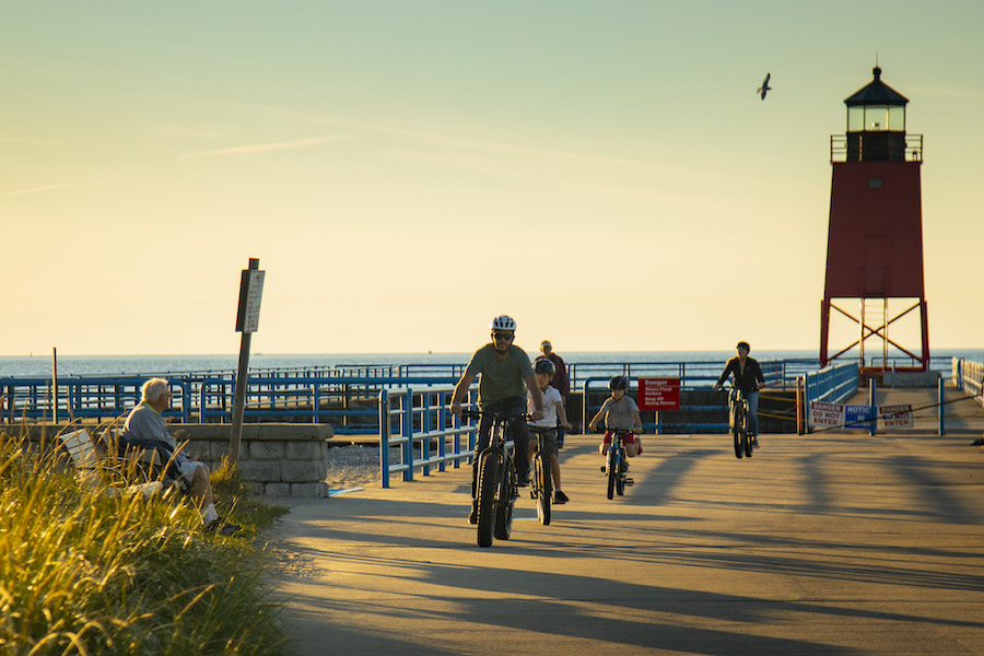
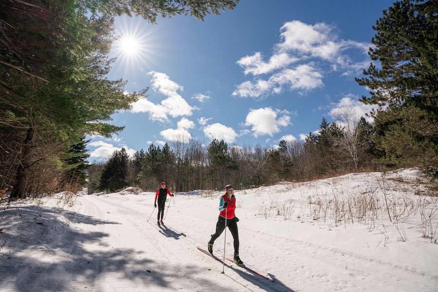
When the GLTL and Iron Belle trails are finished, the resulting approximately 1,800 miles of trails are expected to present a great diversity of experiences for hikers, bikers, skiers and other trail users. Visitors will travel beside the turquoise waters of Lake Michigan and past fragrant apple and cherry orchards. They’ll pedal past vibrant urban murals and through fields of ripening blueberries and corn. Pedestrians will walk beneath the Mackinaw Bridge, within the shadow of the Muskegon Lighthouse and through small towns, many of them so small they’d never encounter them but for the trail.
Benefits Monetary and Intangible
While GLTL trail directors are still tallying the economic impact from an enterprise still under construction, individual users applaud the direction the trail network is headed.
“I love the Clinton River Trail,” part of GLTL Route #1, said Kris Klassen, a deputy clerk for the City of Auburn Hills. “When I was training for the Detroit Free Press Marathon, it was perfect for my training. On any Saturday you’ll find walkers, bikers, dog walkers, babies in strollers. It’s nice to be able to run without the hassle of cars or people.”
Mark Oberman, an elementary school principal in Petoskey, utilizes a portion of GLTL Route #3 to cycle to work and with his family on weekends. “The scenery and quick access to nature are unlike any other trails that we’ve ridden. We have stumbled upon beaches, hiking trails, historical sites, local shops and restaurants.”
And Andrea Cherwinski, who describes herself as an “endurance cycling junkie,” took advantage of her proximity to GLTL Route #1 in 2020. “COVID had canceled all my ultra-distance races, so I figured this would be a fun challenge.” Cherwinski rode the trail’s entire 275 miles, from South Haven to Port Huron, in fewer than 24 hours. “What a journey! I like how the trail connects both lakes in a fun and beautiful way. I was able to see parts of cities that I had never seen before. I would like to come back and take my time, do the trail over a few days so I can actually sightsee.”
The Whole Is Greater Than the Sum
Eric Oberg, Midwest regional director for Rails-to-Trails Conservancy, sees the formation of statewide and interstate networks like the GAP and the GLTL as a natural evolution once a region has established a sufficient number of individual trails.
“When it comes to tourism, bigger really is better,” said Oberg. “Long-distance trails draw more people, even if those people only make use of small sections of the entire trail. And increased tourism creates ripple effects in smaller communities.”
Even in regions where a robust short-distance trail network has long been part of the local landscape, trail advocates believe in the merits of linking to the larger state plan. Jim Conboy, who sits on the board of directors for the Top of Michigan Trails Council and is integrally involved in the creation of GLTL Route #3, says his board had to do little more than add additional signage to become part of the GLTL network. Still, they were enthusiastic about the opportunity.
“We were a region of trail communities before,” said Conboy. “Now we are a destination.”
And Paul Griffith, vice chair of the Northern Chapter of the Friends of the White Pine Trail, likewise sees the recasting of middle Michigan’s individual trails into GLTL Route #2 as a big step forward for economic development.
“It’s all about being part of Pure Michigan tourism,” said Griffith. “The active role the state takes in promoting our destination, in advertising it. Having that Pure Michigan designation, you know, it means something. And it means something good.”
RELATED: Top 10 Trails in Michigan
The Great Lake-to-Lake Trails: By the Numbers
Michigan is home to more than 13,000 miles of trails—biking and hiking paths, ATV and snowmobile trails, paddling and equestrian routes—making the Great Lakes State a natural location for an interconnected statewide network.

Donate
Everyone deserves access to safe ways to walk, bike, and be active outdoors.