Top 10 Trails in Alabama
Mention the landscapes of Alabama, and most people are apt to conjure up images of the beaches of the Gulf Shores region or the forested Talladega Mountains. And for good reason—the beaches are famous for their sugar-white sand, and the mountains offer epic views of tree-covered ridges and valleys. Still, Alabama has plenty more to offer in the terrain department. Known as the most biodiverse state east of the Mississippi River, it is also home to river deltas, coastal plains and open prairies. Fortunately, a robust system of trails offers access to Alabama’s scenic bounty. Here are 10 of our favorite trails in Alabama, from the bustling cities in the north to the sand and surf in the south.
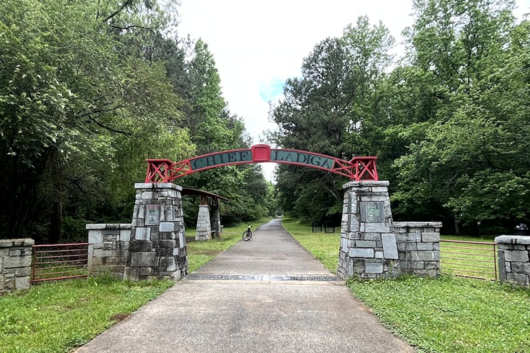
Chief Ladiga Trail
Counties: Calhoun, Cleburne
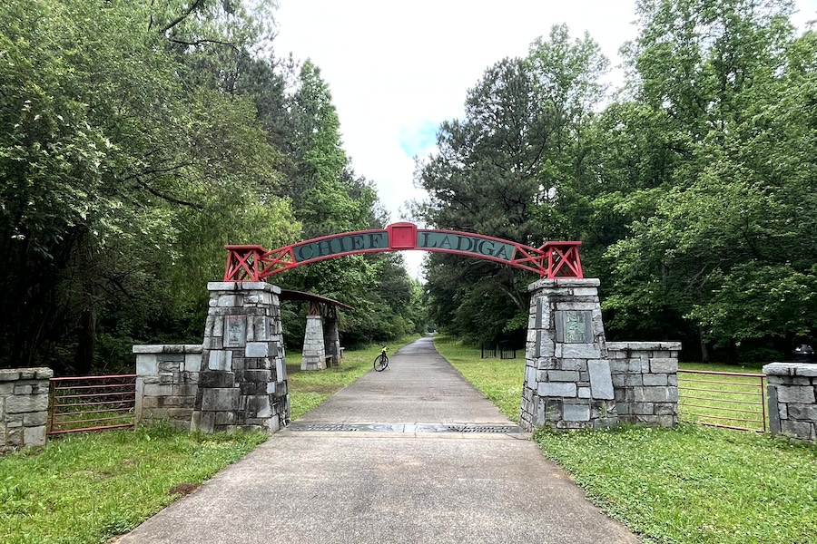
Considered Alabama’s premier rail-trail, the Chief Ladiga Trail offers 33 miles of smooth asphalt surface that ambles through the picturesque small towns and serene countryside of the state’s east-central region before transitioning to leafy forestland in the Talladega National Forest.
The trail continues on to the east, eventually connecting with Georgia’s Silver Comet Trail. Together, the two trails cover more than 95 miles—combining for one of the longest stretches of paved trails in the United States. The Chief Ladiga and Silver Comet trails were inducted into the Rail-Trail Hall of Fame in 2009.
The Chief Ladiga Trail is a consistent winner with reviewers on TrailLink.com™, earning a five-star rating. Trail users rave about the route that passes by fields of wildflowers, pine forests and the banks of the pretty Terrapin Creek.
Richard Martin Trail
County: Limestone
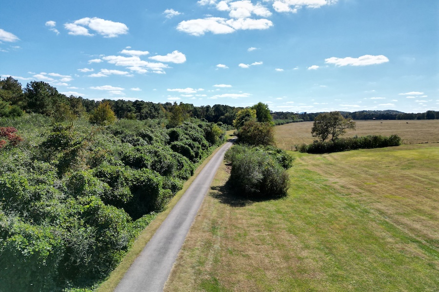
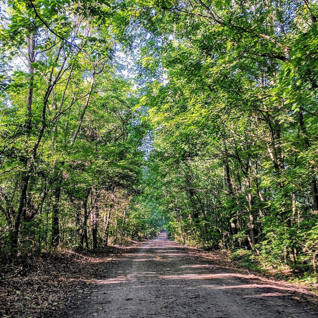
With cotton fields, scenic wetlands and a Civil War battle site bordering its 10.2-mile route, the Richard Martin Trail abuts a historic area and is a National Recreation Trail.
The crushed-stone and gravel trail follows the route of the 1850s-era Tennessee & Alabama Railroad—one of many southern railroads that served as transportation for troops in the Civil War. About a mile south of the town of Elkmont, a somber plaque commemorates the site of the 1864 Battle of Sulphur Creek Trestle, where more than 200 soldiers died.
Today, history and scenery come together along the northern Alabama trail as it passes by a historical railroad depot and a refurbished railcar before ending at the Tennessee border. The picturesque route is a favorite among equestrians and mountain bikers.
Hugh S. Branyon Backcountry Trail / Gulf Oak Ridge Trail
County: Baldwin
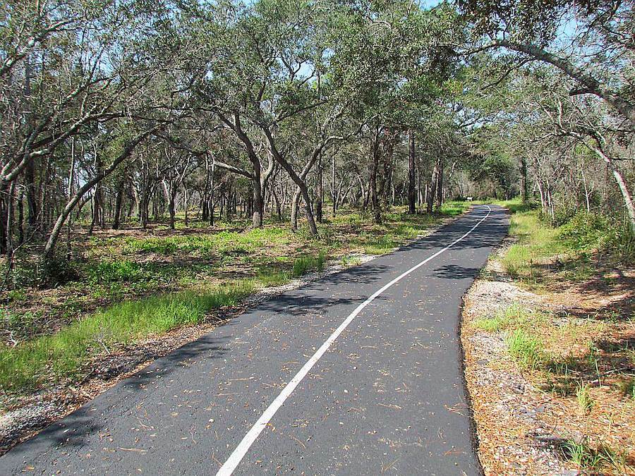
Just minutes from the lively seaside culture of the southern Alabama coast is the Hugh S. Branyon Backcountry Trail, a series of meandering multiuse trails bordered by pine trees, freshwater lakes and coastal swamps.
Within the network of Hugh S. Branyon’s multiple trails is the Gulf Oak Ridge Trail, a 3.2-mile pathway that passes beneath a canopy of mossy old-growth trees within the Gulf State Park. Although the trail is located near the beach scene along the Gulf of Mexico, it offers tranquil spots where cyclists, walkers and skaters might spot deer, bobcats, otters and a range of bird species.
The trail system, which connects the cities of Gulf Shores and Orange Beach, is made up of 26 trails that take in nine distinct ecosystems. Further improvements are in the works as well. The Gulf State Park’s website features an ambitious master plan for enhancement. Work has already taken place on a number of the projects, including a road-turned-trail and a network of boardwalks that snake through fragile habitat and archaeological sites.
Five Mile Creek Greenway
County: Jefferson
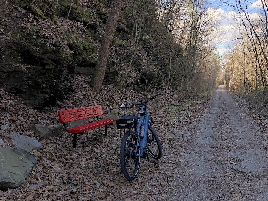
Big plans are in store for the Five Mile Creek Greenway, located in the suburban area north of central Alabama’s city of Birmingham. While a 5.5-mile stretch of the rail-trail is currently open to the public, the route is planned to one day extend 27 miles through the region, connecting the communities of Graysville, Brookside, Gardendale, Fultondale, Tarrant and Center Point.
In 2018, the Five Mile Creek District took a major step forward when it purchased a 16.5-mile section of railroad corridor from the CSX transportation company. Once complete, the 27-mile section will be one of the longest trails in Central Alabama.
The existing crushed-stone trail passes by pretty wooded areas, a creek and a number of recreational amenities. It is mostly flat and shady, making it popular with walkers, runners and cyclists.
Aldridge Creek Greenway
County: Madison
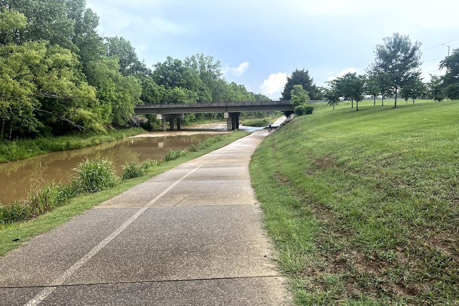
Greenways are among the most popular and most frequently requested recreational features in the northern Alabama city of Huntsville, and the popular Aldridge Creek Greenway is often used as an example of a desired recreational amenity, according to the city’s website. Huntsville has taken note of the feedback by developing a Greenway Master Plan that has an ambitious vision: that greenways be developed in every corner of the city, and that every Huntsville home be no more than a mile from a greenway.
Contributing to the success of the 5.5-mile Aldridge Creek Greenway is its South Huntsville location that connects a major residential area with the Ditto Landing, Huntsville’s gateway to the majestic Tennessee River. From there, the mostly flat greenway trail meanders along the banks of Aldridge Creek, with views of Green Mountain visible in the distance.
Homewood Shades Creek Greenway
County: Jefferson
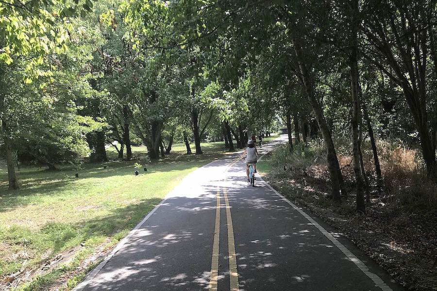
Bordered by American sycamores, box elders and other leafy tree species, the multiuse Homewood Shades Creek Greenway provides a dappled respite along the banks of Shades Creek in Homewood, a southern suburb of Birmingham. Also known as the Lakeshore Trail, the Shades Creek Trail is planned to expand to one day reach Jemison Park, a 54-acre green retreat in the city.
The paved trail passes through floodplain forestland along the banks of Shades Creek, providing a safe, flat route. Along with its transportation benefits, the Shades Creek Trail also offers a spot for birders to see a variety of species, including pileated woodpeckers, green herons, yellow-crowned night herons and belted kingfishers. In 2018, the route was designated as an Alabama Birding Trail. Expansion of the popular trail is ongoing in both directions.
Tuscaloosa Riverwalk
County: Tuscaloosa
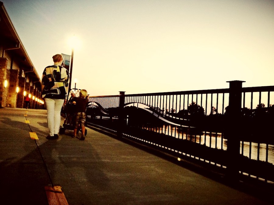
For a woodsy trail experience not far from downtown in the west-central Alabama city of Tuscaloosa, locals and visitors head to the Tuscaloosa Riverwalk, an expanding trail that currently consists of about 4.5 miles along the southern bank of the Black Warrior River.
Along with its stellar views of the river, the well-lighted paved Riverwalk passes by a number of beautifully landscaped park areas that feature plenty of benches and gazebos, a playground and a splash pad. Views on the west end of the trail are dominated by the historical wood-and-steel truss M&O Railroad Bridge.
The Riverwalk is popular and tends to be busy, but on the opposite side of the river, the Richard L. Platt Memorial Levee Trail offers a less-busy trail environment.
Swan Creek Greenway
County: Limestone
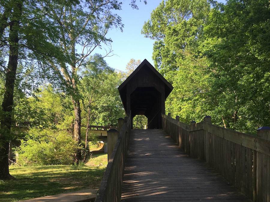
A covered bridge, a variety of leafy trees and abundant wildflowers are among the attractions of the pretty in the northern Alabama town of Athens. In 2011, it was designated as a National Recreation Trail.
The tranquil 2.3-mile asphalt and gravel greenway trail follows the gentle flow of Swan Creek, stretching from the Athens SportsPlex to U.S. Highway 72. The trail is accessible to walkers, strollers and bicycles.
TVA Nature Loop
County: Colbert
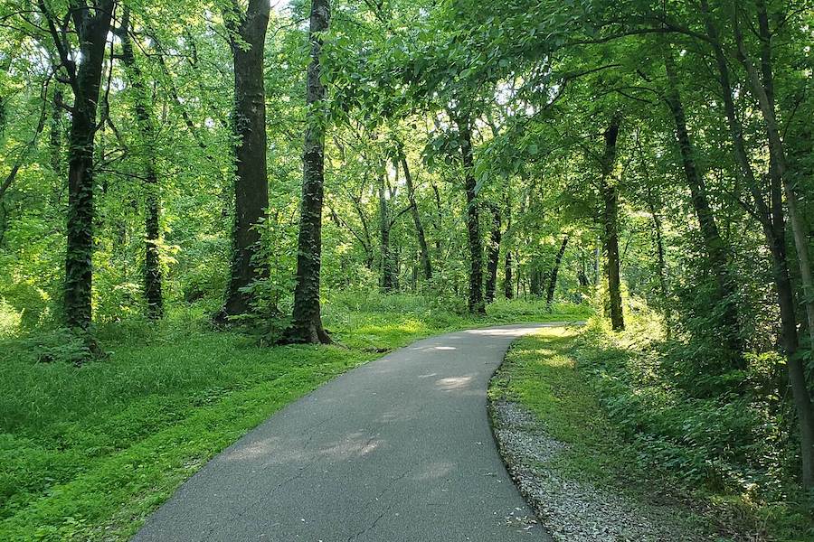
Although the paved TVA Nature Loop features pretty wooded scenes along its 1.6-mile out-and-back route, the star of the rail-trail section is the Old Railroad Bridge, a repurposed historical bridge that spans about 1,500 feet over the Tennessee River, offering spectacular views.
The trail also provides a connection between the towns on the south side of the Tennessee River and Florence on the river’s north bank. An extensive 17-mile system of trails around the Wilson Dam reservation is available nearby in the Tennessee River Valley’s Muscle Shoals.
Kiwanis Vulcan Trail
County: Jefferson
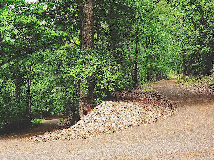
Following the route of the old Birmingham Mineral Railroad, Birmingham’s Kiwanis Vulcan Trail is located on the 1,025-foot-high Red Mountain overlooking the city. It offers a bird’s-eye view of a number of notable historic structures and areas. Among them: the Birmingham Civil Rights District, a six-block tribute to the civil rights movement that includes the Alabama Jazz Hall of Fame and the Sixteenth Street Baptist Church, the site of the 1963 Ku Klux Klan bombing that tragically killed four young girls attending Sunday School.
The 2.2-mile jogging and cycling route runs below Vulcan Park, which is home to Vulcan, the world’s largest cast iron statue. The statue is made of 100,000 pounds of iron, and it stands 56 feet tall at the top of Red Mountain overlooking the city of Birmingham.
The Kiwanis Vulcan Trail is a part of the massive Red Rock Trail System, a planned 750-mile trail network in Jefferson County that features waterways, historical sites and popular green spaces like the Rotary Trail, Red Mountain Park, the High Ore Line Trail and the Jones Valley Trail. As of December 2020, about 125 miles of the network’s trails have been completed.
RELATED: Birmingham’s Civil Rights Heritage Trail
When you subscribe to Rails to Trails magazine, you’ll have access to many other features like this one. Our magazine is a premium of Rails-to-Trails Membership. Join today to start receiving the magazine!

Donate
Everyone deserves access to safe ways to walk, bike, and be active outdoors.