Along the Heartland Trail in Ohio, You can Glimpse a 38-Million-Year-Old Geological Feature
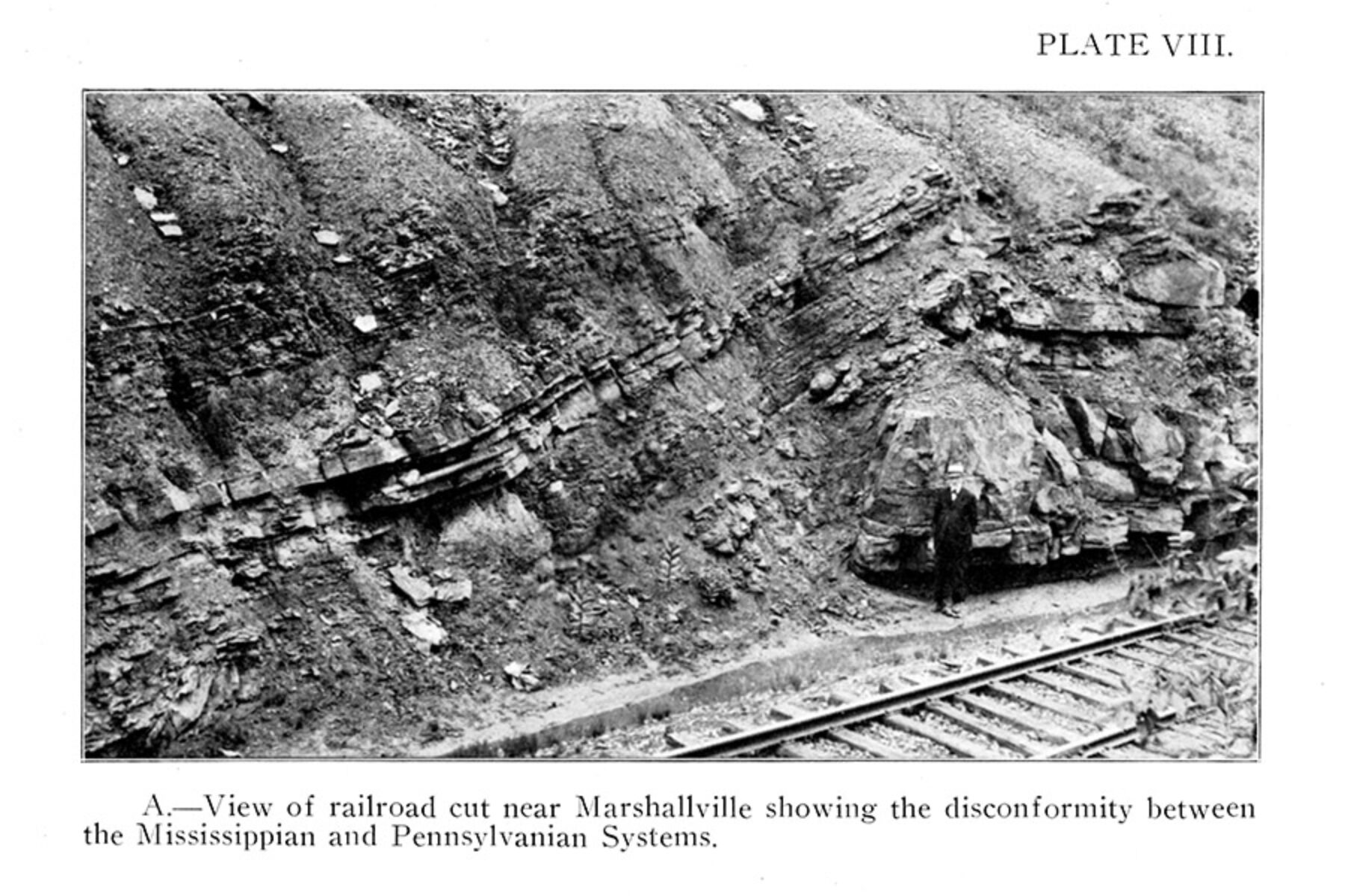
Traveling on the Heartland Trail in Marshallville, approximately 0.7 mile north of E. Market St., on the north side of the embankment … (40.9084, -81.7153), trail users might notice the continuous flat, parallel strata, or layers, of rock. Along the way, these layers change from interbedded shales and thin sandstones to massive sandstones and even thicker shales and sandstones. These sedimentary rocks are Mississippian and Pennsylvanian subperiod strata, deposited during the Carboniferous Period (360–299 million years ago).
A curious succession within the rock layers unfolds here as thinner, normally flat-lying shale beds bend upward onto the neighboring sandstone. The plane between the rising shale and lower sandstone is a geologic unconformity—a gap in the geologic record when no deposition occurred. The unconformity in this location spans 38 million years.
This unconformity is continuous across Ohio and adjoining states where Mississippian and Pennsylvanian strata meet. Fossils preserved in Mississippian rocks are very different from those found in Pennsylvanian rocks. Once deposition of Mississippian rocks stopped, they were eroded. In some places, erosion removed hundreds of feet of rock, creating a gap in the fossil record. Today, geologists can correlate the fossil gap with fossils in rocks of known ages to determine the approximate duration of the unconformity.
Exposed by the Railroad
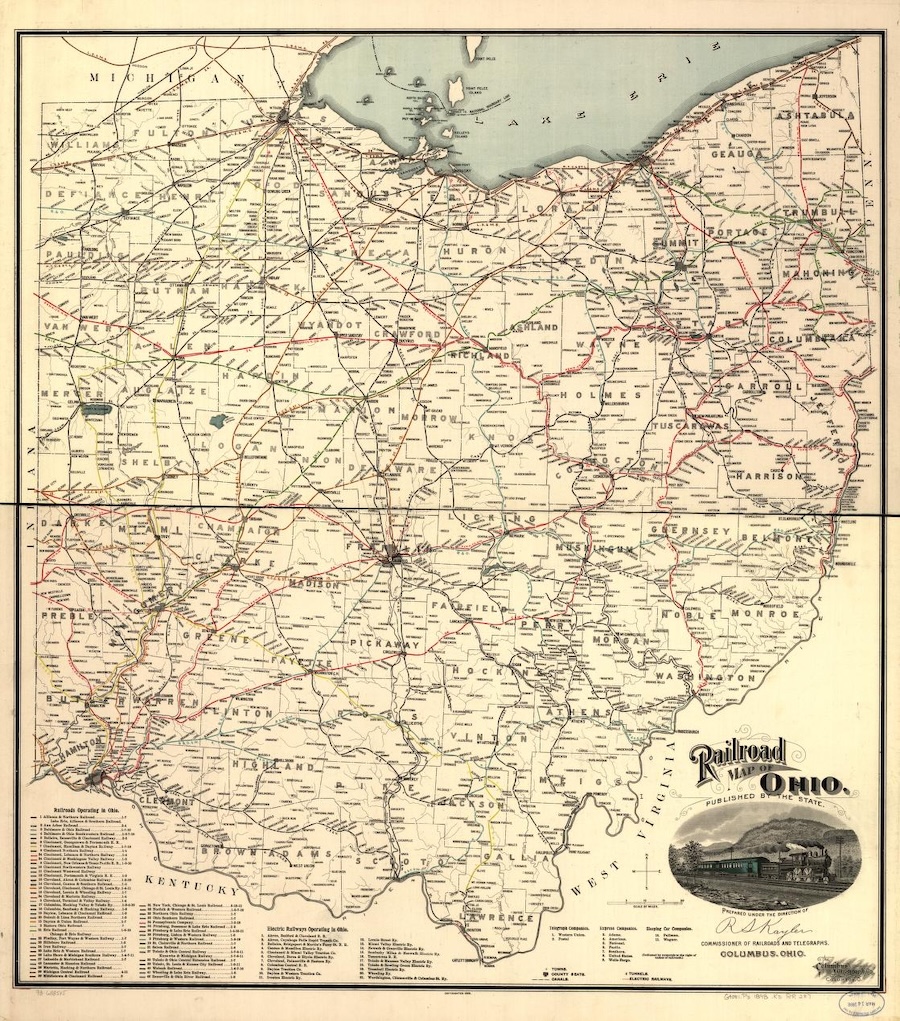
In 1854, the Cleveland, Zanesville and Cincinnati Railroad—later the Cleveland, Akron and Columbus Railroad, and eventually the Pennsylvania Railroad—was constructed through Marshallville, exposing the rare geological unconformity. The rock formation, or outcrop, was featured in G.W. Conrey’s “Geology of Wayne County”—published in 1921 by the Ohio Geological Survey (Fourth Series, Bulletin 24)—along with the first image in this article, above, likely taken shortly after the railroad was completed.
In 2003, two geologists—Ed Mack, president of MorMack Industries, who lives in nearby Orrville, and John Wicks, president of J L Wicks Exploration—went looking for the outcrop during an effort to map Mississippian-age sandstones. Eventually, along a familiar stretch of the former railroad right-of-way, they found the outcrop, but in what Mack called a “dreadful condition, covered by brush and rubble.”
“We made a pact that we would go back and try to expose the contact for posterity,” said Mack.
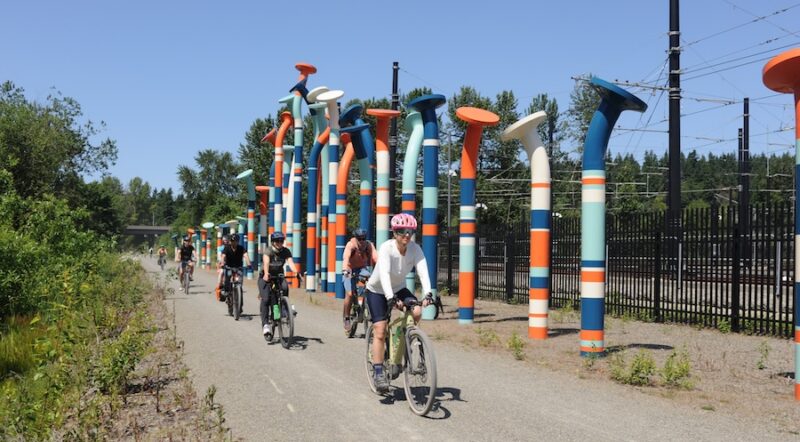
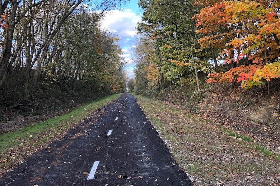
Efforts to restore the outcrop were included as part of Rails to Trails of Wayne County’s development of the 9-mile Heartland Trail, which is a host to both the 326-mile Ohio to Erie Trail and the 3,700-mile Great American Rail-Trail®.
Special thanks to Dr. Frank Fugitt, Geologist, ODNR Division of Geological Survey.
This article was developed as part of Rails to Trails Conservancy’s Great American Rail-Trail® historical marker program—launched in partnership with the William G. Pomeroy Foundation to lift hidden histories and points of local pride along the 3,700-mile developing route connecting Washington State and Washington, D.C.
A trailside marker, created through a collaboration by Rails to Trails of Wayne County, Rails to Trails Conservancy and the William G. Pomeroy Foundation, will commemorate the outcrop when the trail segment is completed. Note that it is currently in development.
Marker Location: 0.7 mile north of E. Market St., Marshallville, OH
RARE UNCONFORMITY
EXPOSED BY A RAILROAD CUT
IN 1854, THIS SITE GIVES A
RARE GLIMPSE OF ROCKS
CONVERGING FROM TWO AGES
38 MILLION YEARS APART.
HEARTLAND TRAIL
WILLIAM G. POMEROY FOUNDATION 2023
Acknowledgments:

Donate
Everyone deserves access to safe ways to walk, bike, and be active outdoors.