Project Vision
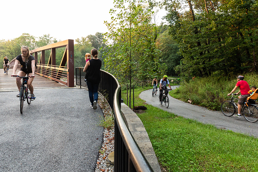
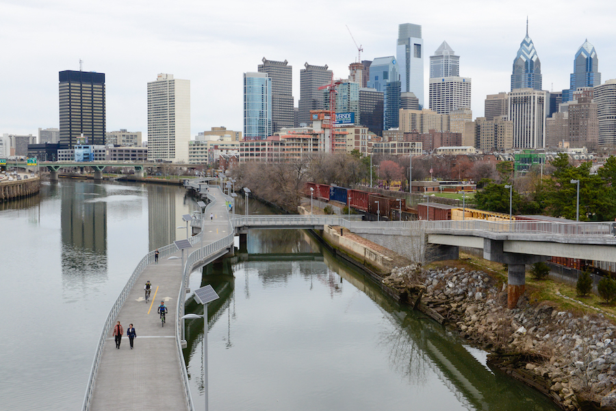
Ohio & Erie Canal Towpath | Photo by Renee Rosensteel
RTC’s TrailNation™ Playbook curates case studies, best practices and tools to accelerate trail network development nationwide. Explore each section for lessons learned that can support trail planners, municipalities, states and regions working to advance trail network projects.
Project Vision | Coalition Building | Mapping and Analytics | Gap-Filling Strategy | Investment Strategy | Engagement
Establishing the vision for a regional trail network is the initial step in determining its scope and the primary impact it will deliver—be that transportation, recreation, tourism, quality of life, etc. While at times the trail network vision may be defined alongside the work of building the project coalition, the visioning process is fundamental to the overall success of any trail network. In the early stages of a project, the vision may be more inspirational, laying out the potential that the trail network will unlock for people and places. Over time, the vision can be refined with more specificity, geospatial representation and responsiveness to the project’s mission, goals and strategies.
Capturing the Vision of a Regional Trail Network
Building momentum—and public and political will—for a regional trail network demands the enthusiasm of many people. Establishing the vision of the trail network is an early step in the work to create cohesion among the coalition. Vision-building can be a tool to garner support for the potential that the trail network can deliver, capturing and channeling people’s imaginations for what their community could look like; what it could feel like to have nearby access to walking and biking routes that offer transportation to important destinations; and the experience of having accessible and safe spaces to be active outside, right in their neighborhood. The vision statement outlines a future where regional trail networks are available and accessible, and puts into clear terms the impact and benefits of such a network.
If a project is in its early stages, founding coalition members may be central to shaping the vision. If a coalition has come together around a shared interest in trails, the project vision may evolve with broader input from a more robust team of partners and guidance from early mapping efforts and geospatial data. Sometimes, the project vision develops organically over time as one trail plan evolves into another, or as new perspectives are added to existing trail network strategies. Myriad circumstances have spurred the big-picture thinking and creativity needed to codify visions for regional trail networks; for example:
- A railroad corridor is no longer being used by the railroad, illustrating the potential for new connectivity between trail and active transportation infrastructure.
- A new land-use zoning code eases the burden of promoting trail-oriented development in a community or region.
- Brownfield sites are becoming increasingly available for development.
- A planning agency prioritizes traffic-calming measures, opening more space for trails in public rights-of-way.
- A new infrastructure project, such as a transit or Complete Streets design, spurs discussion about leveraging the project to improve trail connectivity.
- A regional economic development initiative calls for a focus on investments in rural communities.
RELATED: POWER OF 32 SITE DEVELOPMENT FUND INVESTS $49 MILLION IN THE PITTSBURGH REGION
Why a Vision Matters
The vision for a trail network is a powerful unifying force. It provides the North Star for the coalition and project stakeholders. It establishes common ground to unite diverse perspectives and working styles while channeling the unique talents of partners around a common purpose. A compelling project vision can promote a culture of partnership for a coalition, even among organizations with distinct missions, styles of leadership and resources, helping to unlock the strength of multiple parties working toward a shared outcome.
Put simply, the project vision defines what the trail network will be and lends itself as a framework to guide all aspects of trail network development. For example, a project vision can:
- Be leveraged to attract a broad base of advocates, funders, trail builders and trail users to contribute to an action-oriented coalition
- Become a communications tool to engage members of the public, offering the inspiration needed to help them become believers in—and eventually, advocates for—the project
- Help policymakers illustrate the role of trail networks as sustainable community development tools that benefit everyone for the common good, bolstering advocacy for funding and trail-friendly policies
Developing a Unified Trail Network Vision
While trail network visions can originate from a variety of processes, it is essential that they are not created in a vacuum. Often, developing a project vision can benefit from marketing and communications expertise to distill a big idea into concise, compelling language. Regardless of the status of the trail network coalition, gathering the input of diverse and far-reaching stakeholders will be important to the trail network vision’s success.
Some techniques for developing a unified trail network vision include the following:
- Organize visioning sessions to create space for broad input and collective thinking. Investing in the support of a professional facilitator can be helpful in gathering and uniting diverse ideas into a compelling vision.
- Think big and be creative. What do people want to see in their community and region in the next five, 10 or 15 years? What is the role of trails in realizing that future?
- Gather input from stakeholders who represent diverse perspectives about the process to develop the trail network and its impact—consider elected officials, trail users, community residents, trail partners, advocates and more. Leverage focus groups, community meetings and other forms of facilitated dialogue to gather meaningful feedback.
- Assign a working group to lead the visioning process. If there is a well-established coalition that represents diverse perspectives, the visioning process could be one of its official functions; alternatively, an ad hoc visioning process group could be formed to ensure a range of inputs.
- Assess opportunities that may provide a jumping-off point for the trail network—such as a regional economic development plan, transportation plan or tourism plan. The momentum and support for these plans can help to quickly establish buy-in for the role of the trail network.
Prepare to give the process the time it requires for multiple iterations. Feedback from stakeholders is essential in this process, and many iterations of the vision will emerge. Consensus is much more important than speed.
Examples of Project Visions
The shape of a project vision varies depending on the interests of the community, the scope of the network and the impact the project vision can deliver. Is the primary focus on providing transportation options for residents or attracting visitors and associated tourism revenue? In addition, geography can have a significant influence on the ultimate vision of a network—will it connect a single metro area, stretch across a county, reach an entire metropolitan planning area or across multiple jurisdictional or even state lines? Following are several examples of visions from TrailNationTM projects that represent varied approaches.
Baltimore Greenway Trails Network
A vision for a 35-mile world-class network of urban trails that will link together the diverse neighborhoods, cultural amenities and outdoor resources that make up the landscape of Baltimore City.
The Baltimore Greenway Trails Network seeks to connect 35 miles across dozens of neighborhoods within the city, providing new access to walking and biking trails for longtime city residents. The vision emphasizes the unique role of the trail network in building equitable access to the city’s amenities and resources.
Cuyahoga Greenways
The Cuyahoga Greenways Plan envisions an interconnected system of on-road bicycle facilities and off-road, all-purpose trails. Integrating the Greenways with public transportation, employment centers and parks provides recreational opportunities and mobility options throughout Cuyahoga County. Active use of this network can enhance the health and fitness of the community and the individuals who call it home.
The Cuyahoga Greenways trail network is a plan for connected trail and active-transportation routes across 800+ miles in Cuyahoga County, Ohio. The vision, which emerged from decades of open space, bicycle and pedestrian plans, is the result of a planning effort coordinated by the Cuyahoga County Planning Commission, Cleveland Metroparks and the Northeast Ohio Areawide Coordinating Agency (NOACA), with funding provided by NOACA’s Transportation for Livable Communities Initiative.
Route of the Badger
A vision of healthy, thriving communities in Southeast Wisconsin centered around a world-class, 700-miles-plus regional trail system that connects people across towns and counties, providing endless transformational opportunities for physical activity, tourism, connections to nature, recreation and stronger businesses along the route
The Route of the Badger is a trail network that stretches across 700+ miles in Southeast Wisconsin within the footprint of the regional metropolitan planning organization (the Southeastern Wisconsin Regional Planning Commission). The vision outlines the opportunity to deliver equitable access to infrastructure that promises improved quality of life, economic opportunity, and transportation across a region that connects urban, suburban and rural communities.
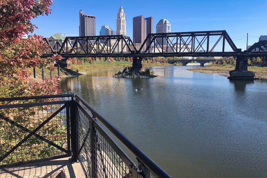
Central Ohio Greenways
A world-class network of trails easily accessible to every Central Ohioan
The Central Ohio Greenways Board, a committee of the Mid-Ohio Regional Planning Commission, is connecting the Central Ohio region with 230+ miles of trails for everyone to explore parks, neighborhoods, rivers, and the vibrant, diverse culture of one of the nation’s greatest places to live, work and play.
Circuit Trails
Connecting local communities, providing endless opportunities for recreating and commuting
The Circuit Trails is a vast regional network of hundreds of miles of multiuse trails that is growing in size each year. The coalition leading the work is governed by a steering committee and close partnership with the region’s metropolitan planning organization, the Delaware Valley Regional Planning Commission. The trail network will connect across nine counties, including five in Pennsylvania (Bucks, Chester, Delaware, Montgomery and Philadelphia) and four in New Jersey (Burlington, Camden, Gloucester and Mercer).
Industrial Heartland Trails Coalition
Establish the Industrial Heartland as a premier destination offering a 1,500-miles-plus multiuse trail network experience.
The Industrial Heartland Trails Coalition emerged from the Power of 32, a visioning exercise to identify regional opportunities for economic growth and revitalization. The planned trail network will stretch across 51 counties in four states—Pennsylvania, West Virginia, Ohio and New York—from the shores of Lake Erie to the confluence of the Three Rivers in Pittsburgh and on to the Ohio River and Appalachian foothills.
Great Rivers Greenway
A dynamic network of connecting rivers, parks and communities, strengthening the social, economic and environmental well-being of our region. Community members proudly invest in, care for and champion greenways for years to come
Great Rivers Greenway is a public agency established in 2000 by a public vote to create a sales tax dedicated to parks and greenways. The agency works in partnership with 100+ municipalities and institutions served by the greenways it is pursuing to make the St. Louis region a more vibrant place to live, work and play by developing a regional network of greenways.

Bay Area Trails Collaborative
To develop a 2,600-miles-plus regional trail network that will connect the San Francisco Bay Area—its trails, people and places—in innovative new ways
The Bay Area Trails Collaborative comprises 50+ nonprofit organizations, public agencies and businesses working together to develop a 2,600-miles-plus world-class, interconnected network of regional trails benefiting all people of the San Francisco Bay Area. The collaborative seeks to improve overall quality of life in the region by creating more opportunities for recreation and active transportation, addressing health disparities in underserved communities, improving health and wellness, reducing pollution and greenhouse gases, and promoting environmental sustainability.
Distinguishing Between Vision and Mission
The vision of the trail network and the mission of the coalition are tools to guide long-term efforts to advance the trail network. Modeled on a vision and mission process pursued by nonprofit organizations, these tools work together to provide a foundation for the work and culture driving the trail network forward.
The vision defines the “why,” illustrating the future state and impact of the trail network when complete.
The mission outlines the “how,” illustrating the coalition’s core purpose and referencing how it will achieve its impact.
Source: Bridgespan Group
Integrating Concepts Across the TrailNation Playbook
Project Vision | Coalition Building | Mapping and Analytics | Gap-Filling Strategy | Investment Strategy | Engagement
Each element of the playbook to build trail networks is integrated. While the process is not linear, each aspect plays an important role. When establishing a coalition for your trail network vision, consider these points.
- The vision serves as a tool first to unify and build the coalition, and later, to guide the coalition’s partnerships and work to advance the trail network.
- The vision of any project establishes the scope of the trail network and the geographic footprint that needs to be mapped and analyzed.
- The gap-filling strategy is essential for bringing the trail network vision to life, prioritizing gaps in the network and developing pragmatic solutions for turning them into trails.
- A compelling vision is central to the project’s investment strategy: it can be a tool for public funding advocacy and should support fundraising strategies across the vision footprint.
- The project vision provides inspiration to catch the attention of all audiences—from broader potential coalition members to decision-makers, elected officials and even funders—and is key to any engagement strategy.