Bay Area Trails Collaborative
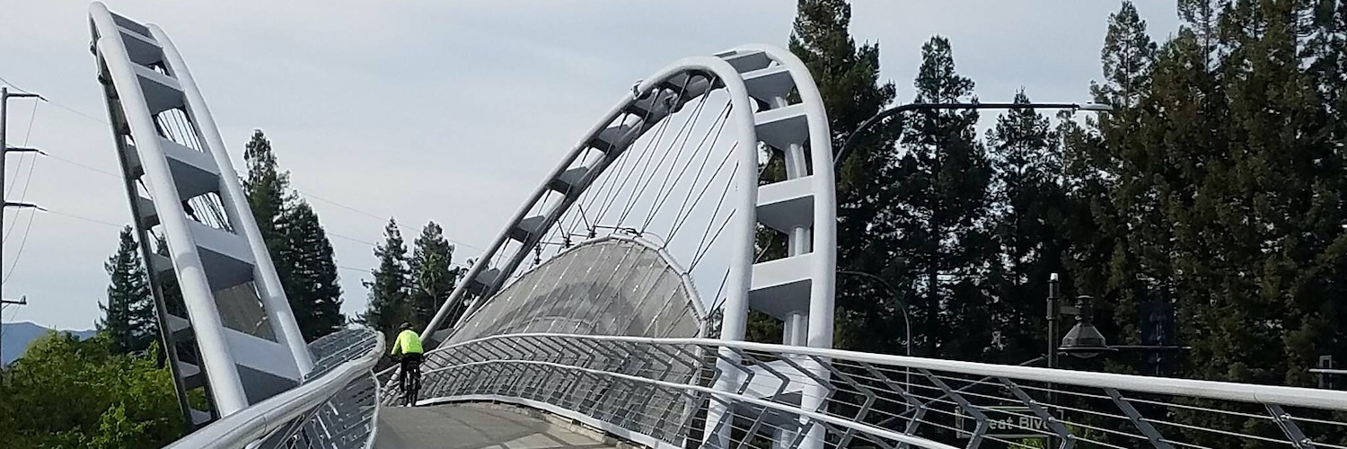
San Francisco Bay Trail | Photo by Cindy Barks
Vision | Map | Priorities | Members & Friends | Stories | Get Involved
Vision
Developing a world-class interconnected network of regional trails benefiting all people of the San Francisco Bay Area.
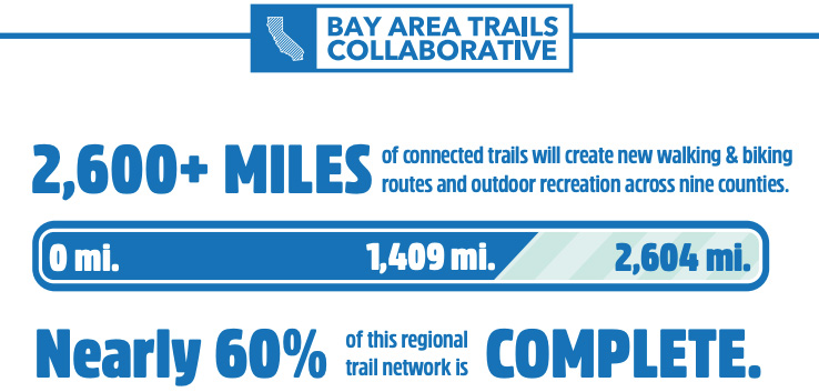
The vision of the award-winning Bay Area Trails Collaborative is to develop a 2,604-mile regional trail network that will connect the San Francisco Bay Area—its trails, people and places—in innovative new ways.
Through the development of the trail network, the Collaborative—chaired by Rails-to-Trails Conservancy (RTC) and currently comprising more than 50 organizations, agencies and businesses—seeks to improve the overall quality of life in the region by creating more opportunities for recreation and active transportation, addressing health disparities in underserved communities, improving health and wellness, reducing pollution and greenhouse gases and promoting environmental sustainability.
What’s more, the Collaborative’s work will provide safe biking and walking routes for millions of people in the San Francisco Bay Area to get to jobs, parks, shopping areas, schools, and cultural and civic sites.
Bay Area Stories
View More Blogs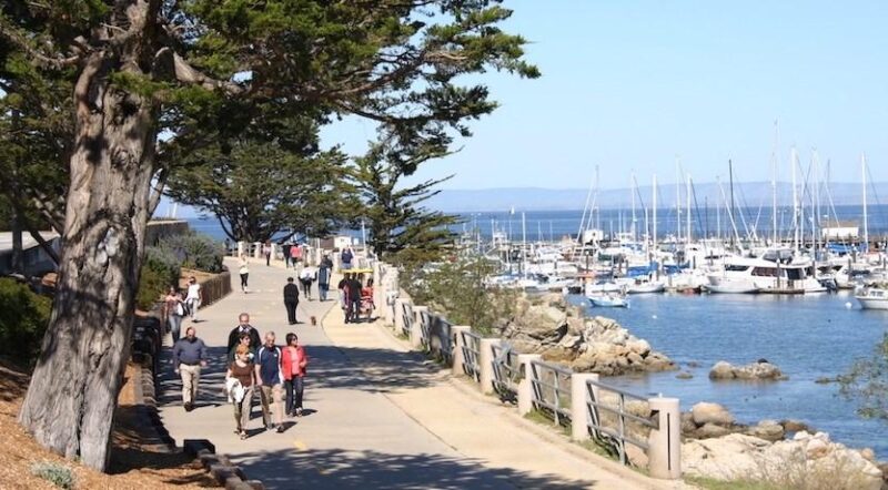
Massive Investments in Trails to Connect Millions in California With Safe Community Paths
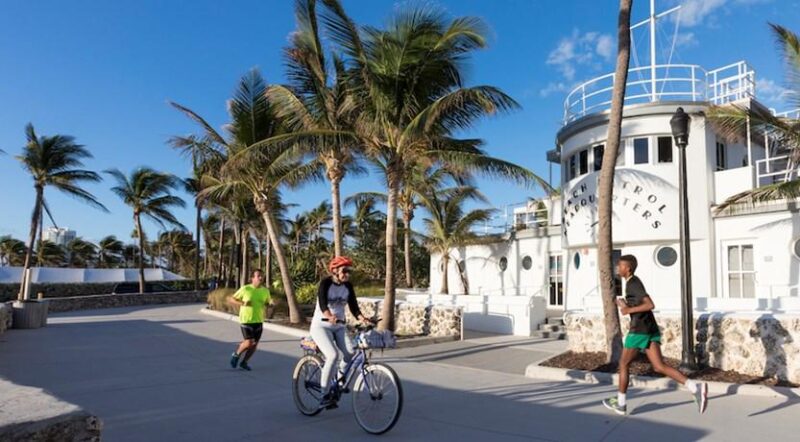
Rails-to-Trails Conservancy Awards $300,000+ to Support Inclusive Trail Projects Across the Nation
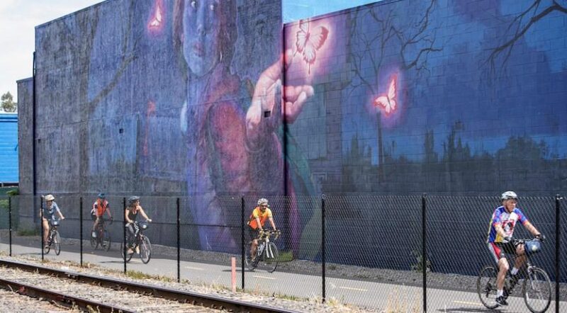
Record-Breaking Investments in California’s Trails Amid Major Demand
What This Means for the Bay Area
Once complete, this regional trail network will serve as an active transportation and recreation corridor for the eight million people living and working in the Bay Area—and will address serious challenges the area is facing: alleviating traffic congestion; increasing economic opportunity; improving public health and safety (particularly in disadvantaged communities); and reducing greenhouse gases and air pollution from vehicle traffic.
Protecting Our Environment
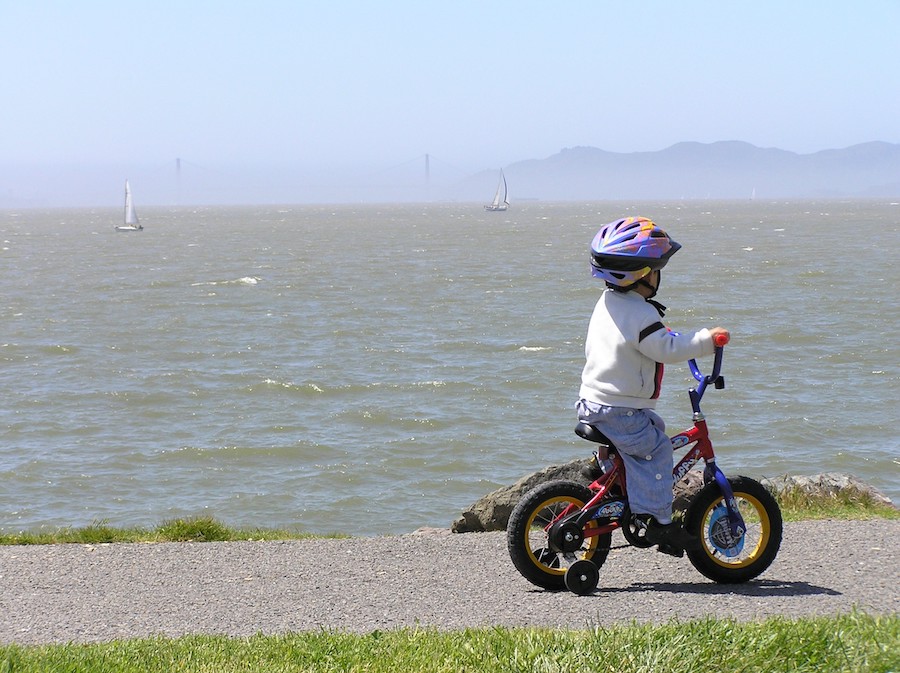
California has passed sweeping climate-change legislation with ambitious greenhouse gas reduction and petroleum use targets, which is fundamentally changing the way California plans and invests in transportation infrastructure. By completing the regional trail network, the Collaborative can help reduce vehicle miles traveled and significantly reduce the Bay Area’s carbon footprint in the long-term while also providing a way for people to travel around the region more efficiently. Emissions from cycling are more than 25 times lower than those of a passenger car, and trails have the capacity to carry thousands more people an hour than traditional travel lanes.
Creating Smart Transportation Options
The demand for safe walking and biking infrastructure is evident in the Bay Area, where nearly one-quarter of residents already choose a multimodal approach for commuting. This is especially true for smaller cities like Emeryville and Berkeley, where transit use is proportionally far greater than that of larger urban centers like San Jose and Oakland. Bay Area Rapid Transit (BART) expects that by 2022, 8 percent of its riders will access stations by bike (an increase of 100 percent over twelve years). Bay Area trail projects like the East Bay Greenway—which has plans to link to seven BART stations between Oakland and Hayward—will support this rapidly growing demand.

Improving Health and Wellness
By providing safe, close-to-home opportunities to walk, run and bike, the Bay Area regional trail network will be a cornerstone of a statewide strategy to encourage physical activity and combat high obesity rates among adults and youth. A Public Policy Institute of California study found that obesity levels were lower among adults who felt safe to walk for leisure in their own neighborhoods—and it’s proven that when people have safe places to walk within 10 minutes of their home, they are one and a half times more likely to meet recommended activity levels than those who don’t.
Promoting Social Equity
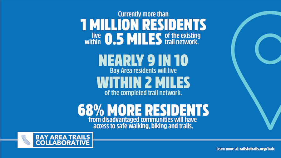
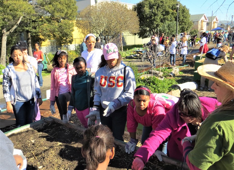
The Collaborative serves communities with health disparities that have an urgent need for more safe places to walk and bike. More than two-thirds of African Americans and Latinos living within the project footprint are overweight or obese, with few places for safe outdoor recreation; the cities in the region with the highest poverty rates—San Pablo, East Palo Alto, Richmond, and Oakland—are also at the bottom of statewide rankings when it comes to bicycle and pedestrian safety. The region’s communities of color are also the least likely to own cars, further demonstrating the importance of safe, convenient options for active transportation and transit.
Generating Strong Economies
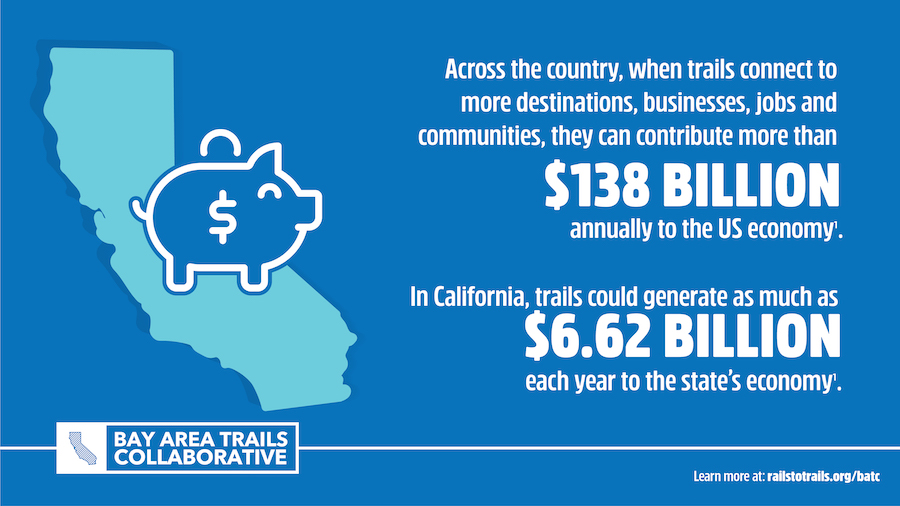
Completing the remaining gaps in the Bay Area regional trail network (approximately 42 percent) could spark new waves of outdoor tourism, small business investment and job creation. A 2011 statewide study found that over the course of the year, Californians engaged in an estimated 1.5 billion days of outdoor recreation—specifically for activities such as walking, biking or running on paved surfaces for fitness and pleasure—with trip expenditures topping $4 billion. The Bay Area regional trail network includes signature projects that attract millions of tourists (such as the San Francisco Bay Trail and the Bay Area Ridge Trail) and connect to renowned tourist destinations (such as San Francisco’s Golden Gate Park and Bridge). The Napa Valley Vine Trail will run the length of Napa Valley, one of the premier winemaking regions in the world, which attracts 4.7 million visitors annually. The Bay Area regional trail network also travels through extremely underserved communities like Richmond, California, which are experiencing inclusive revitalization due to trail-oriented development.
Our Priorities
By working together as a powerful multisector coalition, RTC and the Collaborative are leveraging the group’s collective influence and expertise to: advance policy and environmental change; share best practices; grow public and private support; accelerate trail development; and build a more diverse, robust trail movement in the Bay Area. Learn more about how it’s getting done!
Trail Talks
BATC Members and Friends are invited to regular live webinars organized by trail experts, advocates, and enthusiasts from around the Bay Area that touch upon themes deemed important to our regional partners. These webinars, affectionately known as “Trail Talks,” highlight current issues in trail planning, funding, design, construction, operations, and maintenance, and provide local case studies and best practices that showcase successful approaches to overcoming these common challenges. Past Trail Talks topics include: trail funding strategies, addressing social issues and safety concerns on trails, and transit to trails.
Get Involved
If you have questions about the Bay Area Trails Collaborative, or are interested in getting involved in the coalition’s work, please reach out to the Rails-to-Trails Conservancy’s Western Regional Office staff:
Western Regional Office
304 12th Street, Suite 2A, Oakland, CA 94607
510.992.4662
Email Office
Laura Cohen
Regional Director, Western Region
510-992-4661
laura@railstotrails.org
Become a Member or Friend of the Bay Area Trails Collaborative! We offer two options to meet your desired level of involvement.
Why Your Support Matters to the Regional Trail Network
As a Member or Friend of BATC, you can help advocate for and advance the completion of a more than 2,600-mile regional trail network that, when developed, will connect people and places across the nine counties in the San Francisco Bay Area. Through this bold vision, we will enhance the quality of life in the region by creating more opportunities for recreation and active transportation—which will improve health and wellness across all communities, including those historically underserved and marginalized, reduce pollution and greenhouse gases and promote environmental sustainability.