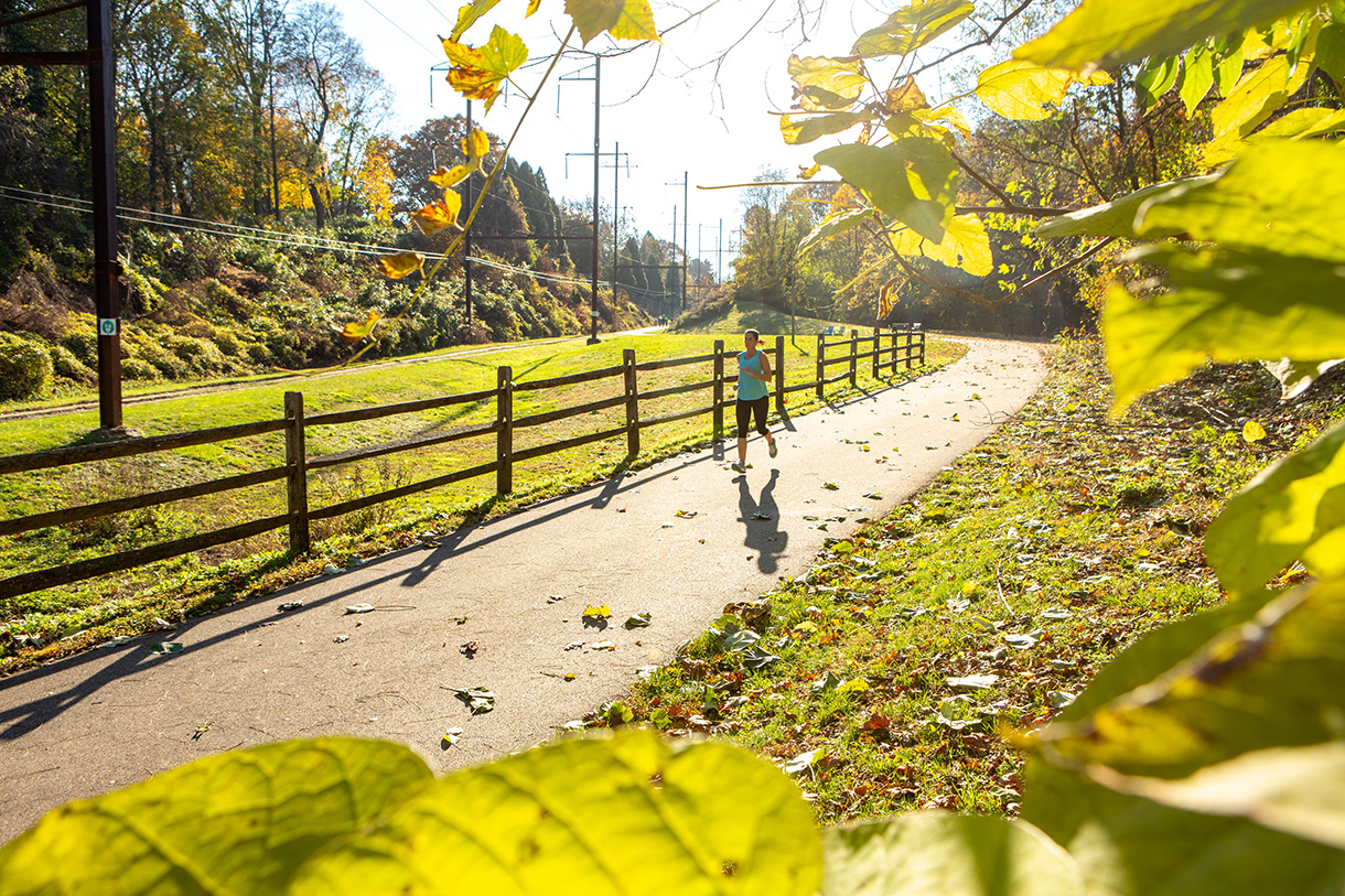
FOR IMMEDIATE RELEASE:
MAY 30, 2014
CONTACT:
Jake Lynch
Media Relations
Rails-to-Trails Conservancy
202.974.5107
media@railstotrails.org
SEEING THE FUTURE: MODEL LAUNCHED FOR BIKE/PED INVESTMENT
T-MAP to calculate traffic patterns of future corridors, quantify economic impacts
WASHINGTON, D.C. – A team of researchers from the U.S. and Europe this month launched an investigation of biking and walking patterns that may forever change how non-motorized transportation facilities are prioritized in American cities.
Spearheaded by national trails advocacy and planning organization, Rails-to-Trails Conservancy (RTC), the Trail Modeling and Assessment Platform (T-MAP) will establish the first-ever national network of trail traffic monitoring stations in the U.S. to gather data on activity on trails systems in 12 urban locations across the country.
T-MAP will use mathematical models to assess the broad impact of future trail components, and calculate the return on investment of a proposed trail facility.
“This is the kind of forecasting tool that has been used in roads planning for decades,” says Tracy Hadden Loh, RTC’s Director of Research and the chief architect of T-MAP. “That’s why we’ve come to see roads projects as ‘needs’ – because we can firmly calculate their impact. Decision-makers give credence to quantitative methods for prioritizing transportation investments. T-MAP will provide that rigorous, quantitative evidence of the impact of trails projects.”
At a cost of $1.2 million over three years, T-MAP will combine trail activity data from 12 subject cities with a GIS-based method for measuring trail system connectivity, and a trail-use demand factoring and forecasting model to estimate the effect of infrastructure improvements on the surrounding area.
The 12 study areas are Albuquerque, N.M., Arlington, Va., Billings, Mont., Colorado Springs, Colo., Fort Worth, Tex., Indianapolis, Ind., Miami, Fla., Minneapolis, Minn., New Orleans, La., Portland, Maine, San Diego, Calif., and Seattle, Wash.
Trail advocates in the study areas, which span the nine climate zones of the continental U.S., this week expressed great excitement at finally being able to translate trail use into dollars related to health and transportation impacts.
“Facilities for walking and biking are still sometimes thought of as ‘luxuries,’ or tangential to transportation,” says Naomi Doerner, Executive Director of Bike Easy in New Orleans, where the Jefferson Davis trail is being monitored. “But we know they have real and impressive impacts on transportation systems, on health spending, on the ability of people to move around their community. With T-MAP, we won’t have to rely on anecdotes – we’ll have the data to financially quantify those impacts, and to help us make the most efficient use of transportation funding.”
The 12 study areas this month began counting traffic activity on selected local trails using Eco-MULTI trail counters that separately monitor pedestrian and bicycle traffic through the combined use of passive infrared and inductive loop technology.
For the communities selected to host T-MAP counters, quantifying trail traffic and accurately predicting future movements is essential to securing funding and planning support for future improvements, maintenance and extensions.
“We know that a better understanding of real transportation patterns will help us make sure that biking and walking are represented as the important modes they are,” says Jeff Webb of the City of Colorado Springs. “When we can say “x number of people travel this section of corridor, and connecting the trail to this population center over here will serve y number of people,” then that’s a powerful tool for making the case.”
Data from those counters will be evaluated over the next 24 months.
For more information on T-MAP, contact Tracy Hadden Loh, Rails-to-Trails Conservancy, at tracy@railstotrails.org.
Rails-to-Trails Conservancy, a nonprofit organization with more than 100,000 members, is the nation's largest trails organization dedicated to connecting people and communities by creating a nationwide network of public trails, many from former rail lines. Founded in 1986, Rails-to-Trails Conservancy's national office is located in Washington, D.C., with regional offices in California, Florida, Ohio and Pennsylvania. For more information visit www.railstotrails.org.