Trail Moments: The Fellowship of the Trail
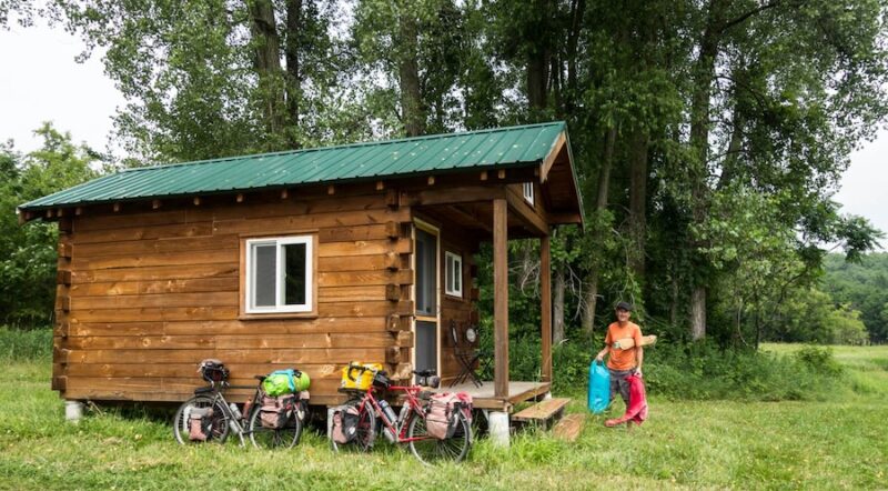
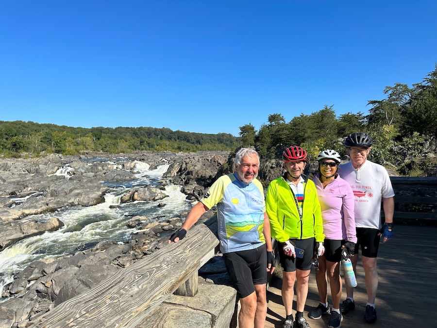
Ken Silbert wasn’t expecting to make lifelong friends on his first Trailblazer Society ride seven years ago, but over the course of 70+ scenic miles through northern Idaho’s Trail of the Coeur d’Alenes, he connected with fellow riders that he’s still in touch with today, even though they came from places like Michigan, Florida, Virginia and Connecticut—far from the California resident’s home.
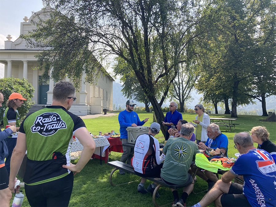
“The main thing is you share certain things in common,” mused Silbert about the Trailblazer group, which was brought together by Rails to Trails Conservancy to learn about and support the organization’s work. “You’re all riding bikes, and people are in good moods because they’re on vacation and aren’t burdened down by things like work and politics or any of the things that get us cross with each other. People are just good-spirited.”
The 82-year-old credits his twice-weekly rides and training for the annual Trailblazer trips for his good health. When a medical screening last year showed his cardiovascular system performing at 139% of expectations, he thought, “That’s pretty good for an old guy like me! That’s genes and bike riding.”
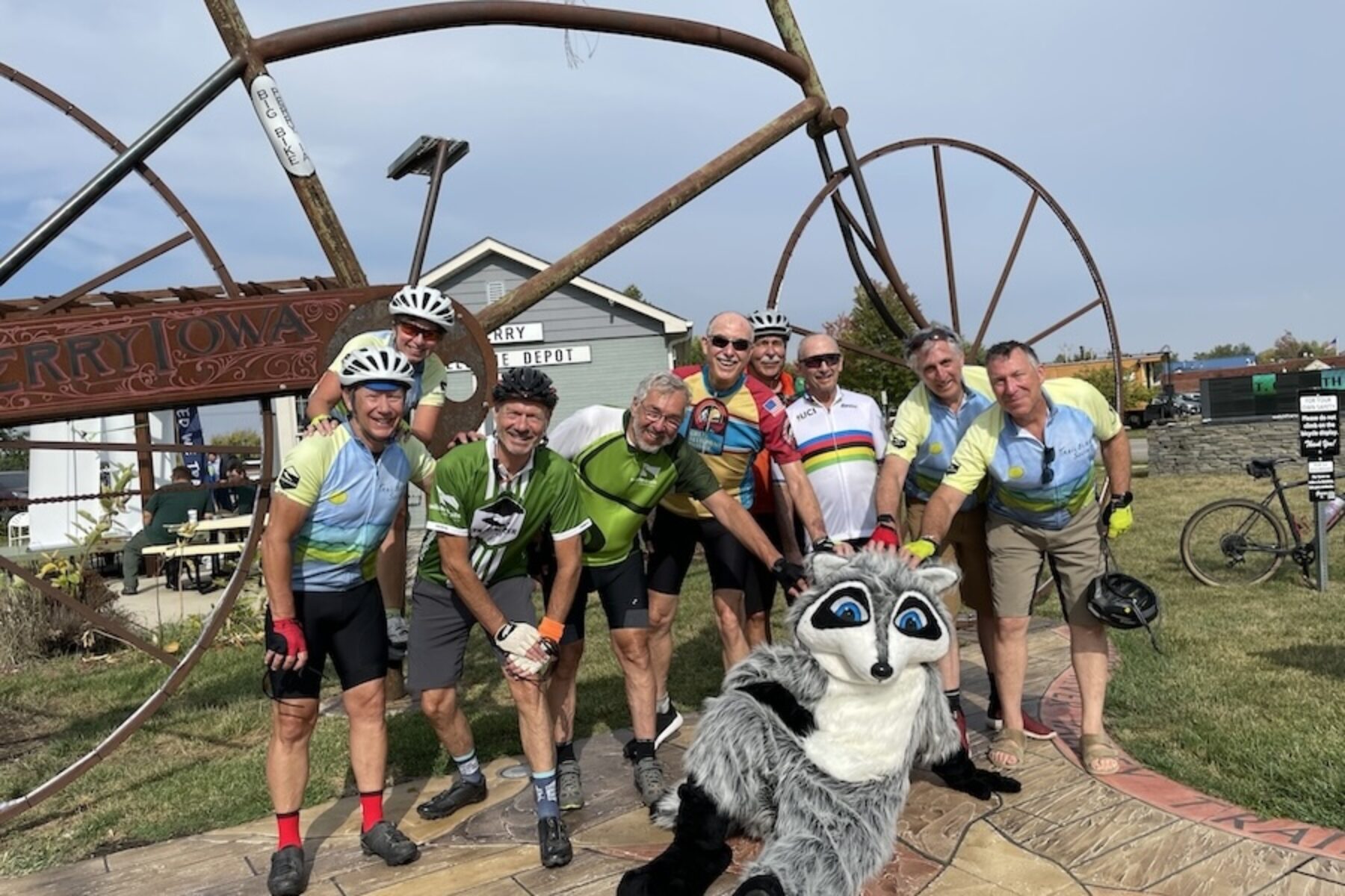
Silbert has also done a whopping 16 RAGBRAIs, including three of them on a tandem bike with his wife. The group ride across Iowa attracts some 30,000 participants each year.
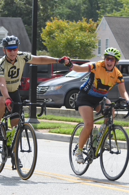
Will Hill of Virginia has also enjoyed the camaraderie of the group rides he’s taken with the Trailblazers and Wilderness Voyageurs and highly recommends the experience to others. “I’ve ridden with a lot of different people around the country and what I’ve consistently found is that someone that’s on a bike and enjoys cycling is going to be a nice person.”
Sharing his thoughts about the commonality that binds such a diverse mix of people together, Hill noted, “So much nature is preserved as a result of rail-trails—you’ve got huge biodiversity in those corridors—and I think all of us feel strongly about that and having trails to give people that opportunity to be out in nature and get exercise.”
The allure of rail-trails is something Heidi Lerch, another longtime RTC supporter, knows firsthand. Routes like the Georgetown-Lewes Trail and Junction & Breakwater Trail through Cape Henlopen State Park and other coastal landscapes were one of the main reasons she and her husband Lee retired to southern Delaware two years ago. “What drew us to the area was that there were a lot of nice bike paths and also that we knew there was a large cycling community here.”
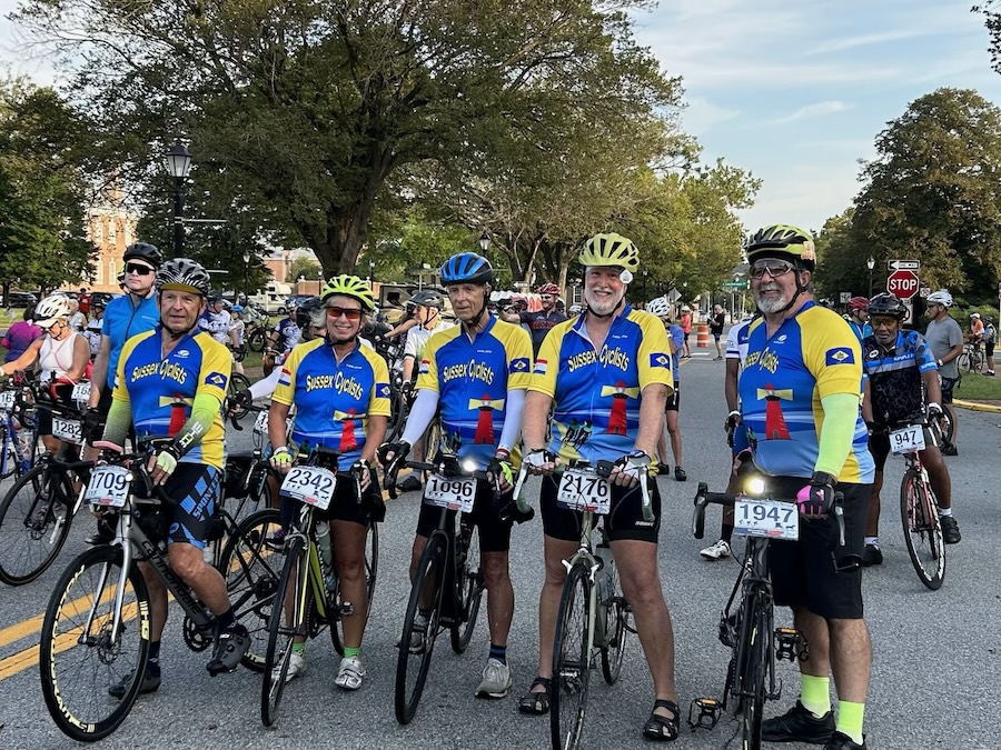
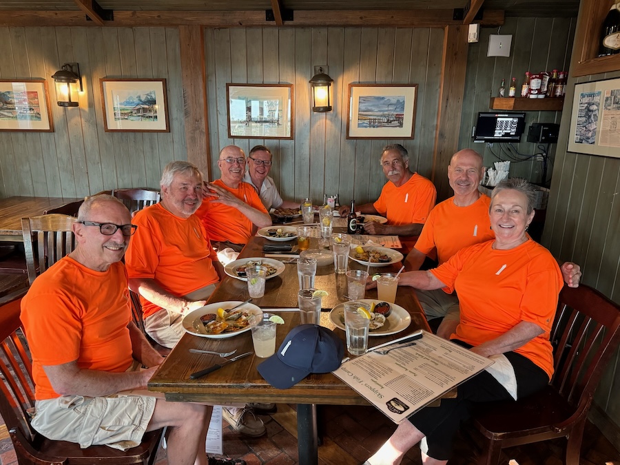
That community—in the form of the Sussex Cyclists club—is something that Lerch looks forward to joining every week with their regularly scheduled group rides.
“It’s always nice to have fellowship,” she explained. “And it’s a good safety factor, too. If you fall or get a flat tire, you’ve got other people there to support you.”
Her husband found the cycling group online and they knew right away that it would be a good fit. “On my first group ride here, everybody introduced themselves and I thought that was a very friendly gesture. And I remember them coming up to me after the ride and they’d say, ‘Did you have a good time? Did you feel safe?’ They were focused in on the people that were there and, when I ride with them now, they always make everyone feel welcome.”
Silbert’s advice for those new to group riding? “I think they shouldn’t be afraid of it. On the first Trailblazer ride I did, a fair number of people already knew each other, while I was the outsider. But that didn’t last for more than a day—people are just friendly!”
This article is part of Rails to Trails Conservancy’s Trail Moments initiative—to elevate new and tried-and-true trail voices around the country, and how trails impact the lives of Americans. Learn more at trailmoments.org and use #TrailMoments on social media to share your story.


Donate
Everyone deserves access to safe ways to walk, bike, and be active outdoors.