1,400-Mile LandLine Plan Is Building Active Transportation Momentum in Boston
What happens when vision meets trails? Change.
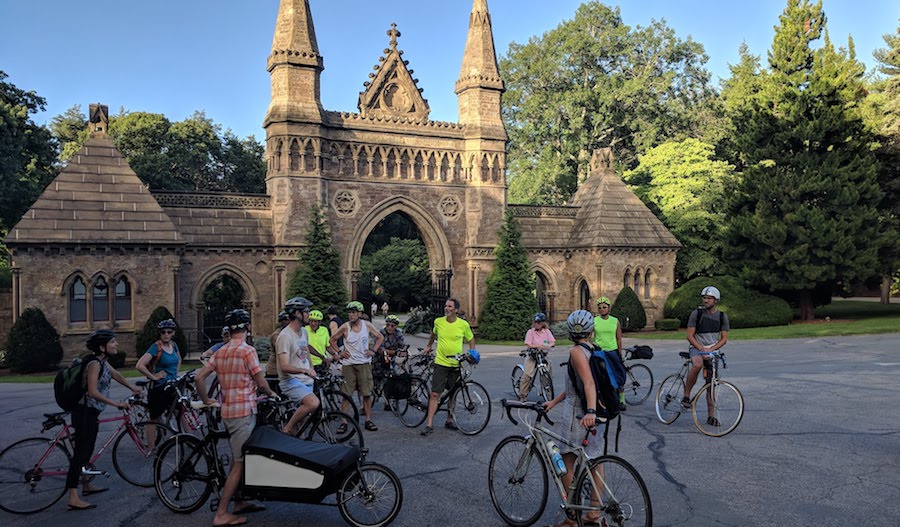
The Boston area is expected to undergo some noteworthy change in the near future thanks to the LandLine Vision Plan—a newly proposed plan by the Metropolitan Area Planning Council (MAPC) that aims to complete a 1,400-mile connected network of regional trails and greenways and spur new opportunities for active transportation and recreation across communities.
“The closer you come to a connected network, the greater the utility.”
—David Loutzenheiser, senior transportation planner at MAPC
In the past couple decades, transportation challenges—including a growing population, traffic congestion and overcrowded transit—have increasingly hindered mobility for the estimated 3-million people who live in the metro area. The MAPC visionary plan opens up the possibility of solving some of these issues through a proposed system of 913 miles of greenways and 515 miles of footrails, built off the region’s existing trails, that would help create connectivity and new safe walking and biking routes to employment centers, educational institutions, outdoor green space and cultural attractions in the region.
It helps feed an ongoing expansion of active transportation that’s already happening,” said David Loutzenheiser, senior transportation planner at MAPC, whose mission as the regional planning agency is to promote smart growth and regional collaboration in Metropolitan Boston. “Bikeshare, dockless bikes, scooters—we’re all coming together with … active transportation momentum in cities throughout the country. Lots of people are embracing [it] as our trail network expands.”
The LandLine Vision
Aiming at connecting communities throughout the Boston area, the plan began to come together several years ago, beginning with efforts by MAPC to do a full audit of already established trails. “At first, we did not have a complete inventory of our trail system,” said Loutzenheiser. “Over a number of years, we put that together, and with that information were able to roll out this vision plan.”
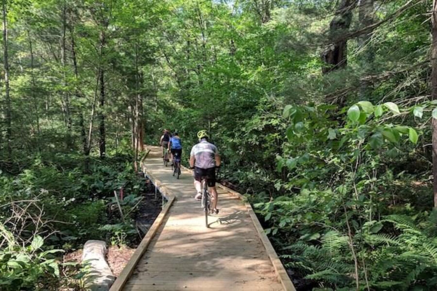
According to the plan, the greenways that make up the network are 45 percent complete, with 325 miles that already exist, 82 more under construction and 506 miles still to be developed. Foot trails, similarly, would additionally make up nearly 206 miles for residents to enjoy throughout the area. When finished, the network will allow an astounding three-quarters of the region’s residents to access a trail within a half-mile of their homes, and 92 percent would be within a 1-mile proximity to a trail or path, with figures projected to grow as engagement by stakeholders increases.
Loutzenheiser says that the plan—which includes 101 different municipalities—takes on an approach that focuses on providing equitable access to trails, with equity metrics being created by the state. The plan also introduces an informative and insightful proposal for visitors to use before taking on a trail: route identification and wayfinding by signage. This clear interface would allow residents to easily navigate not only trails, but the entire Boston area, thanks to key components that will make each foot trail and greenway distinct.
“While identifying corridors available—we also identified the nearest transit stations and commercial business districts, and how we can make those connections,” said Loutzenheiser. According to Loutzenhesier, the emphasis on signage is greatly attributed to the value of similar systems found in major cities throughout the United States and Europe.
“I was struck when I first saw the plan, and then when on a guidebook mapping and research trip last summer, personally seeing the high-quality design and construction,” said Tom Sexton, director for Rails-to-Trails Conservancy’s Northeast Region. “They have good strategies for preservation of those corridors and those communities, especially through art and standard interpretation.”
He continued, “It’s a regional hub, connecting New England to New Hampshire and Maine. What they are doing is very essential, and any trail builder who hasn’t gone to Boston should go and learn about it.”
Holding the Line
At the forefront, two existing networks help frame the backbone of the LandLine: The Emerald Network and the Bay Circuit Trail.
The Emerald Network, a subset of the LandLine vision within the urban core, currently envisions 200 miles of greenways around the city of Boston, which the MAPC is working with closely. Three notable links will connect numerous communities to stations and other trails: the Arboretum Gateway Path, Arsenal Park Connector and Fenway-Yawkey Multi-Use Path. All are intended to support Boston’s equitable approach to trail building—and enhance overall access to trails—ultimately creating a low-cost, healthy alternative for transportation in the Boston area, as well as increased opportunities for recreation and physical activity.
The Bay Circuit Trail and Greenway is a 230-mile network of trails that skirts throughout the Boston area. Managed by the Bay Circuit Alliance (led by the Appalachian Mountain Club), the Bay Circuit Trail will serve as the foundation for the LandLine’s foot trails network, linking important networks such as the Boston Greenbelt Trail and the Aqueduct Trail Network—both catalysts for development and conservation.
The Boston Greenbelt, once completed, will reach an estimated 90 miles through the inner core of the area, with the goal of promoting and maintaining conservation. The Aqueduct Trail Network will build upon a legacy of aqueducts that have long existed for centuries, stretching nearly 70 miles through the Boston area.
“The Landline is a useful tool for residents and visitors to find trails in the area for exercise, recreation and school/work commutes,” said Kristen Sykes, director of conservation strategies for the Appalachian Mountain Club. “We are excited to have the Bay Circuit Trail and Greenway serve as a foundation for the incredible network of trails in Eastern Massachusetts.”
Additionally, the LiveableStreets Alliance, in collaboration with MAPC, will connect every neighborhood in the Boston area to open space, increasing active transportation, facilitating mobility and improving the environment. Through their work in the Emerald Network, the alliance is one of many partners taking part in the LandLine plan by helping to develop safe walking and biking infrastructure and raising public awareness of the system’s benefits.
The LandLine vision plan is an early component of a new plan that follows Metrofuture—a regionwide development plan by the MAPC. As levels of engagement increase for the LandLine from local leaders and trail advocates, the LandLine’s role in helping to influence and lead the regional development plans also increases.
This means that active transportation is increasingly helping to drive the city’s development plans, moving forward. “Internally as we do open space plans, comprehensive plans for a given town, we can incorporate the LandLine vision into those various plans,” said Loutzenheiser.
A Connected Region
“It’s not a linear function. The closer you come to a connected network, the greater the utility,” said Loutzenheiser when asked about MAPC’s estimates for how the trail will result in transportation and health impacts in the long term.
Loutzenheiser adds that a study is in progress to determine some estimates for how the LandLine could decrease automobile trips and help spur economic development regionally. But in these early days, he also notes that both political support, across political lines, and public support, seems to be present for the LandLine plan.
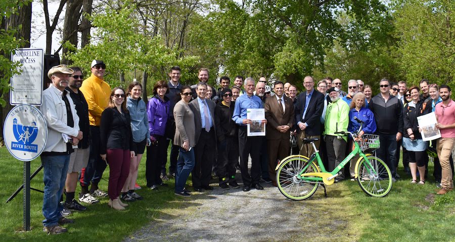
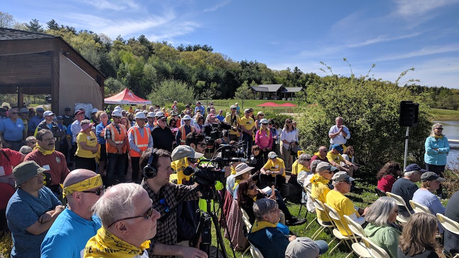
“The governor, lieutenant governor and members of the legislature come to these events regularly and speak with enthusiasm on trail projects,” said Loutzenheiser of the formal ribbon cutting events held to kick off or celebrate the completion of projects. “There were up to 200 people at a ribbon cutting earlier this year.”
He adds that more and more trail advocates in the towns—some of whom have been passionately working to get their trails built for 20 or 30 years—have been approaching MAPC about partnering and acquiring help to complete their trails, demonstrating how the collective momentum for the plan is building regionally.
“With almost half the system built out now, people are already noticing a network taking shape and that only helps energize completion of the remaining pieces,” said Loutzenheiser.

Donate
Everyone deserves access to safe ways to walk, bike, and be active outdoors.