How to Get to US World Cup Events by Trail, Walking, Biking and Public Transit
This summer, millions are expected to attend the World Cup games, kicking off in cities across North America in June. Here, we’re spotlighting a handful of American host cities with tips on how to get to stadiums, fan events and fan zones without a car, plus suggestions for exploring nearby trailside attractions.
Atlanta
Downtown Atlanta’s, Georgia’s Centennial Olympic Park will once again revive its legacy sports status as a FIFA Fan Festival™ site to watch this year’s World Cup games. The 22-acre park was built 30 years ago for the Summer Olympic Games and has been an iconic destination for the city ever since. General admission to the multiday festival is free but requires registration so head to the website for tickets. The program will include live match screenings, live music, fan games and interactive experiences.
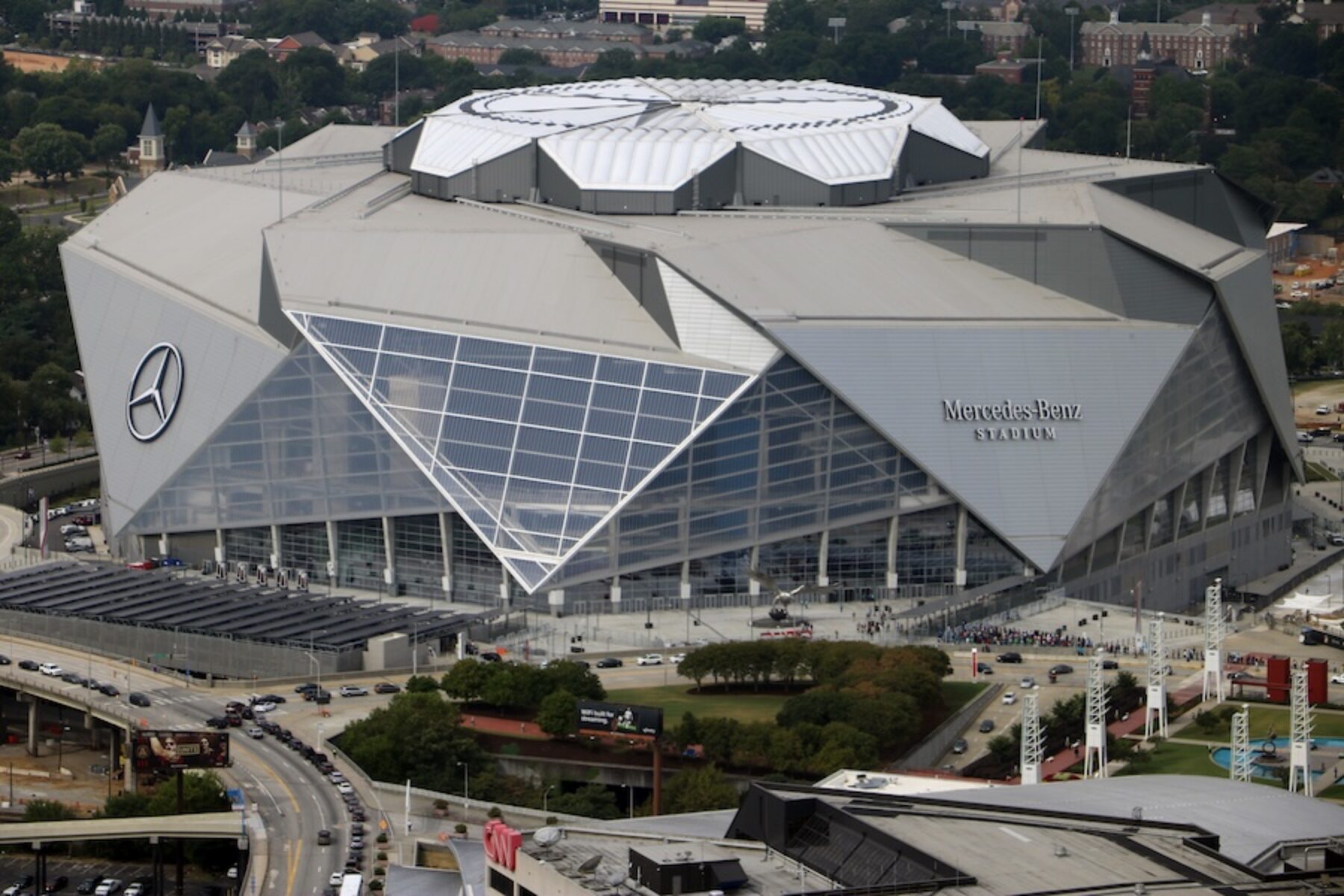
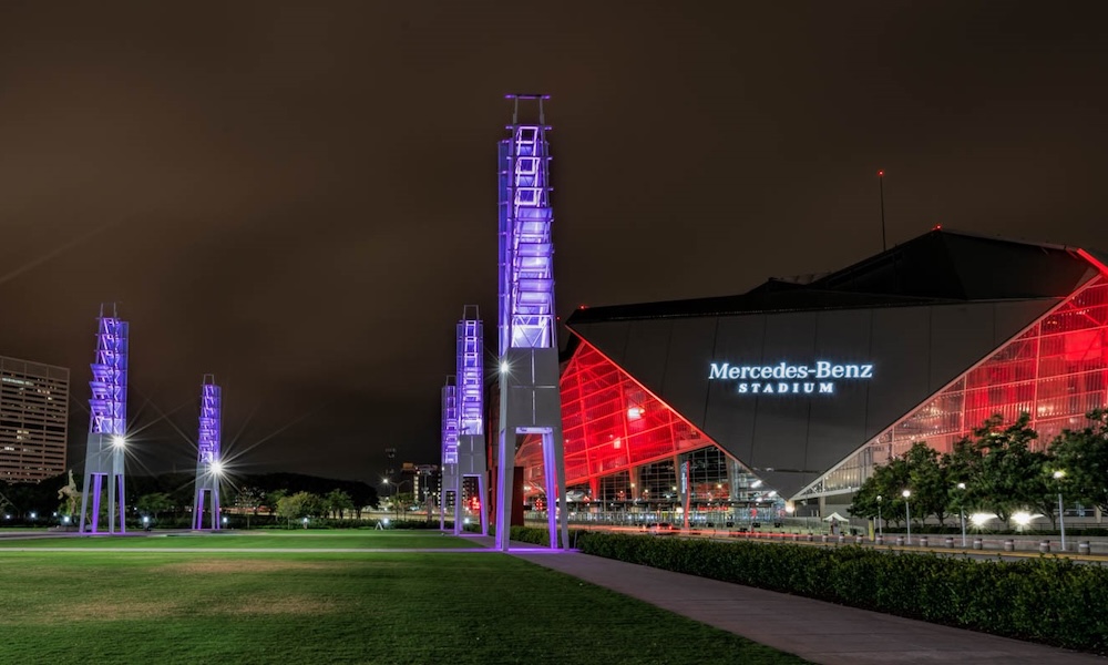
For those lucky enough to have tickets to the FIFA games, Atlanta’s Mercedes-Benz Stadium, located about half a mile from the park, will be hosting eight matches.
From June 20-22, celebrants will also be gathering for World Legacy Fest at Rodney Cook Sr. Park, less than a mile northwest of the stadium; some of the activities for this multi-day event (which is not officially affiliated with FIFA) are free to the public. The 16-acre park is located in Historic Vine City, an Atlanta neighborhood with a storied civil rights legacy; educational signage, a statue of John Lewis and other monuments in the park honor that history.
Go By Trail:
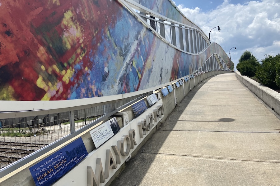
With its central location, Centennial Olympic Park (235 Park Ave. SW) is easy to get to by foot and bike. The Stone Mountain Trail, spanning about 25 paved miles, leads right to the park from points east, including the city’s eastern suburb of Decatur. Atlanta’s Westside Beltline Connector—part of the famed Atlanta Beltline that encircles the city—also offers a concrete pathway spanning about 2 miles only a few blocks away for those coming from the northwest.
Rodney Cook Sr. Park is also easily accessible from the Beltline’s Westside Connector Trail; the park is located just two blocks west of the trail along Joseph E. Boone Boulevard NW.
To get to the stadium, there is a network of PATH Foundation trails throughout metro Atlanta to choose from, and the Westside Beltline Connector just to the north. From those trails, you can get closer to the stadium by using the pedestrian mall paralleling Andrew Young International Boulevard NW between Centennial Olympic Park and the stadium, or the cycleway along the south side of the stadium paralleling Martin Luther King Jr. Drive SW.
Tips for Bikes and Mobility Devices:
Shared bikes and scooters are available throughout the city, including Atlanta’s official program, HOPR/Relay Bike Share. Lime and Bird also offer dockless programs with a fleet composed largely of scooters along with some e-bikes.
Once you arrive at the park, you can lock up your bike at one of several bike racks, including along Centennial Olympic Park Drive and Baker Street NW. The closest bike rack to the stadium is along the north side of the building. Check out this map of downtown Atlanta’s bike racks for locations.
MARTA’s public transportation system is also bike-friendly so you can combine your trip on wheels with bus or train routes; check out their website for information about transportation to World Cup events. The closest stations to the park are the GWCC/CNN Center Station on the Blue/Green lines and the Peachtree Center Station on the Red/Gold lines. The closest station to the stadium is also the GWCC/CNN Center Station.
Kansas City (Mo.)
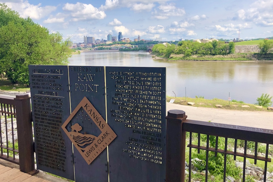
In Missouri, Kansas City Stadium, more commonly known as Arrowhead Stadium (home of the Chiefs – a dominant force in American football in recent years—and famous for its loud crowd noise), will host six World Cup matches in 2026.
The FIFA Fan Festival at the National WWI Museum and Memorial in Kansas City, Missouri, will provide a centralized and beautiful setting for fans to gather and watch matches.
Note for visitors: Kansas City, Missouri, is the largest and principal city in the metropolitan area, which straddles the Kansas-Missouri state line. Kansas City, Kansas, is a smaller city that borders its Missouri sibling. The stadium, Fan Festival and airport are all in Kansas City, Missouri, though the airport and stadium are located outside of the central city area.
Kansas City boasts its own regional style of barbecue, characterized by a thick, tomato- and molasses-based sauce, and specializing in beef and pork. Arthur Bryant’s is more than 100 years old and one of the most famous barbecue restaurants in the United States; three U.S. Presidents have visited (including Harry Truman, who was from nearby Independence, Missouri). Arthur Bryant’s is located to the east of the city center, just blocks from the Negro Leagues Baseball Museum and the American Jazz Museum. (Kansas City has a rich jazz history, including having been the home of Charlie Parker.) Two relative newcomers—both located a little farther out, to the south and southwest of the National WWI Museum and Memorial—are Q39 (Midtown location) and Joe’s Kansas City Bar-B-Que.
Nestled between downtown and the Fan Festival site, the Crossroads neighborhood is known for art and live music. Farther south, Country Club Plaza features Spanish-inspired architecture, high-end shops and restaurants, and the Nelson-Atkins Museum of Art. From Country Club Plaza, you can walk, bike or roll along the 2-mile Brush Creek Trail or connect to the 6.5-mile Harry Wiggins Trolley Track Trail, which runs on a former streetcar line. This trail also passes by the National Museum of Toys and Miniatures and close to Loose Park.
On the north side of downtown, the Arabia Steamboat Museum features artifacts from a ship that sunk in the adjacent Missouri River in 1856. It’s located in the River Market area, which features shopping and dining in a walkable setting. Passing through this area is the 8.6-mile Riverfront Heritage Trail, which runs along the river and through parts of downtown.
Go By Trail:
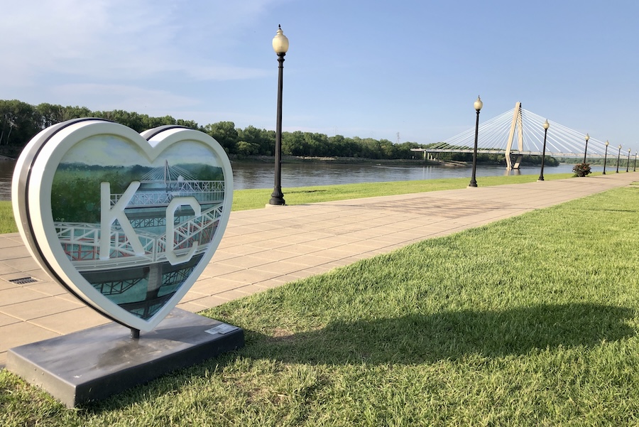
The stadium is located on the outskirts of Kansas City next to a highway interchange. It’s not in a walkable area and not connected to any trails. Bike directions from the city appear to be high-stress, unprotected and not recommended.
Kansas City does not have many urban trails in its central area, with none connecting to the Fan Festival location. However, Oak Street has a two-way protected bikeway and is a good north-south corridor for getting around by bike or scooter; Oak Street does connect downtown to the Fan Festival site. The Fan Festival is also accessible by streetcar from downtown; the National WWI Museum and Memorial has its own stop. (Full public transit system map here.)
ConnectKC26 offers several shuttle bus options for fans: Airport Direct, Stadium Direct (between the Fan Festival and several park-and-ride locations and the Kansas City Stadium on match day) and Region Direct (unlimited rides between the Fan Festival and various destination/entertainment areas).
Tips for Bikes and Mobility Devices:
BikeShareKC provides affordable, shared bikes via an app, and is operated by a local mobility nonprofit. It offers walk-up registration with single-ride rates, a 4-hour pass and a monthly membership (featuring time-limited free rides with no unlock fees). This is a great way to get around the more central areas. Scooters and some e-bikes are also available from national app-based companies.
Look up Kansas City, Missouri, on TrailLink to view multiuse trails in the area. The KC Regional Trails and Bikeways Map provides another options to view shared-use paths and bike lanes.
Miami
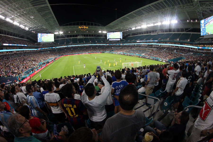
Miami, Florida, needs little introduction as one of the most popular destinations in the United States—ranking among the top 15 most-visited cities by domestic tourists and even higher in terms of international tourism. Count on the city to be extra-extra crowded this summer, with seven games taking place at the city’s Hard Rock Stadium at Miami Gardens.
While the stadium entrance is technically less than a mile from the Snake Creek Trail (a 6.5-mile multiuse trail stretching from North Miami Beach), the lack of official bicycle parking and heavy traffic around the stadium can make biking extremely challenging. (Also—note that there is not a direct Metrorail or Tri-Rail stop, and ride share/taxi or shuttle is encouraged.)
For people who still wish to join in the fun on foot or by bike, Miami’s popular Bayfront Park (301 Biscayne Blvd.)—directly along the 6.2-mile Miami River Greenway—will be serving as the main FIFA Fan Festival™ zone, offering 23 days of live broadcasts and events from June 13 to July 5. In addition to a 10,000-seat amphitheater, Bayfront Park offers a wide range of green space, cultural and historical sites and monuments, shopping, and restaurants.
Go by Trail:
The Miami River Greenway—part of the developing 235-mile Miami LOOP trail network—technically begins at NW 24th St.; however, this and another section of the trail are disconnected from the main segment of greenway. The main portion begins at the intersection of NW 12th and NW 11th streets along the Miami River. Stay on the north portion of the trail (with a small gap between NW Fourth and Flagler streets) as you follow the river to Bayfront Park. Note: There are no official parking lots along the greenway.
Tips for Bikes and Mobility Devices:
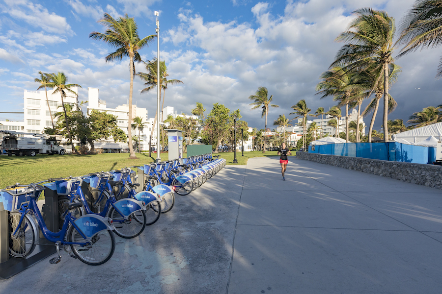
Bike share stations are available via City Bike Miami throughout the city—including two at Bayfront Park—just north of the amphitheater and at the park’s southern end. Note that battery-powered e-bikes and scooters are not permitted in the park.
Public transportation is available via the Bayfront Park Metromover Station (150 Biscayne Blvd. by the southwest corner of the park) and the First Street Metromover Station (near NE Second St.). A third option is the Knight Center Station farther southwest (100 SE Second St.). All Metromover stations permit bikes on board their train cars and have bike parking. For more information, go the Miami-Dade County website.
Philadelphia
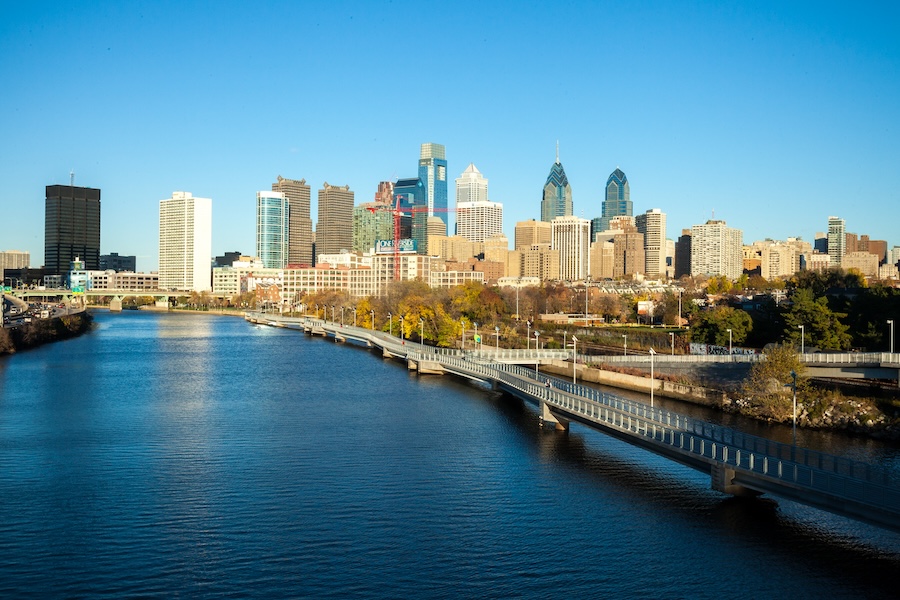
Philadelphia, Pennsylvania’s Lincoln Financial Field (“Philadelphia Stadium”) is hosting six FIFA World Cup matches, including one on America’s 250th birthday. But the celebrations in the city of brotherly love aren’t limited to match days. Lemon Hill in East Fairmount Park is home to the only full-length fan fest in the United States. For all 39 days of the tournament, FIFA Fan Festival™ gives fútbol fans a spot to catch big-screen broadcasts of every live match, rotating food trucks and live music. All-day access is free, but advance registration is required.
With an estimated 20,000 people heading to Fan Fest on match days, city officials and festival organizers strongly advise taking advantage of bike valets or arriving on foot.
Go By Trail:
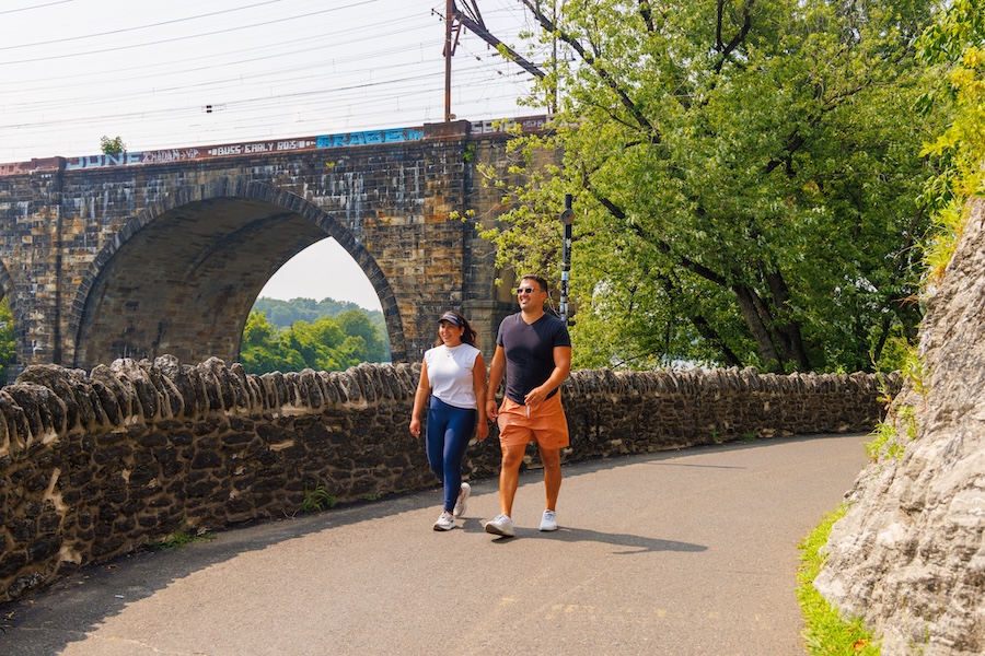
The Schuylkill River Trail spans the length of East Fairmount Park, creating a direct route to FIFA’s Fan Festival from City Center, or as far south as Grays Ferry and as far north as Manayunk. The SRT is part of the Circuit Trails network, one of the largest regional trail networks in the country, meaning there’s bike- and pedestrian-friendly access to Fan Fest from all over the Greater Philadelphia and Southern New Jersey region. A start at the Schuylkill Banks Boardwalk takes fans on a 2.5-mile route past iconic landmarks along the river, including the Philadelphia Museum of Art and Fairmount Water Works.
Match ticketholders can take SEPTA’s Broad Street Line to the NRG Station; from there, it’s a quick walk to the stadium. Free SEPTA rides are available following each match.
Tips for Bikes and Mobility Devices:
Philly’s Indego bike share has more than 250 stations around the city, including ones near Fan Festival and the stadium.
SEPTA allows bikes on the subway outside of rush hours, making a mix of trail and rail doable.
Seattle
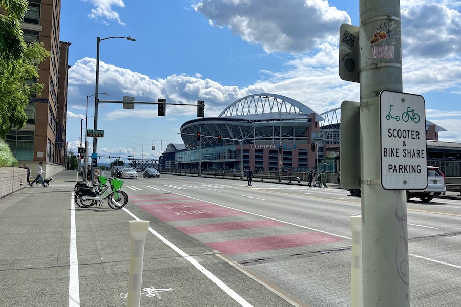
Surrounded by Puget Sound, Lake Washington and the Cascade mountain range, Seattle offers a stunning backdrop for the FIFA games this summer in Washington State. Six matches will be hosted at Lumen Field—temporarily rebranded as Seattle Stadium—an open-air venue with views of the city’s distinctive skyline. The stadium sits adjacent to the historic Pioneer Square neighborhood with numerous attractions and restaurants. During game days, Pioneer Square will become a “Pedestrian Zone” to create an environment that feels safer and more comfortable for those traveling on foot.
In addition to the games, several fan celebrations will be available beginning June 11. These free, public events will take place at major landmarks throughout the city, including the Seattle Center, Waterfront Park, Pacific Place and Victory Hall. (Outside of Seattle, nine communities throughout Washington—including Spokane, Olympia and Vancouver—are also offering official Fan Zones to share in the game-day excitement.)
Go By Trail:
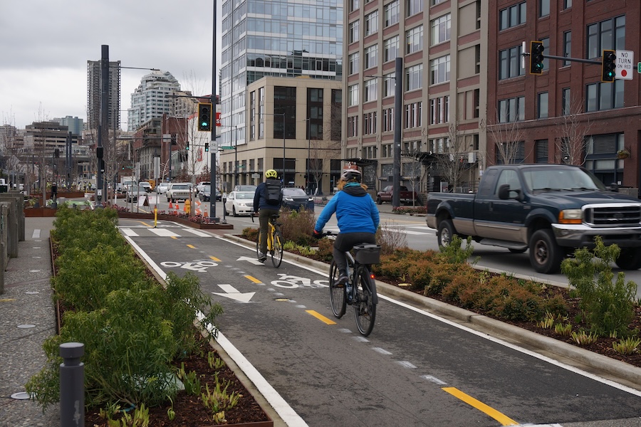
Start your planning by visiting Seattle’s FlipYourTrip.org for tons of information about non-driving transportation options.
From points north, the paved, 2-mile Seattle Waterfront Pathway offers a pleasant way to reach Lumen Field and downtown attractions. At S. King Street, pop off the trail and head east for just over a block, then south along Occidental Avenue for another block to reach the stadium. Another option is the 31-mile Interurban Trail North that stretches farther afield from Seattle’s northern suburbs into downtown, ending at Westlake Avenue and Seventh Avenue, roughly 2 miles north of the stadium.
The city is also crisscrossed with several protected and unprotected bike lanes; check out the Seattle Department of Transportation (SDOT) bike map to research routes to the stadium and to the official fan celebrations.
Tips for Bikes and Mobility Devices:
If you need a set of wheels, bike-share and e-scooter services are offered by Lime throughout Seattle; details are available on the SDOT website.
Once you arrive at the stadium, bike parking is available at the northwest and northeast corners of Lumen Field, along the southern edge of its North Lot. For more options, visit this SDOT map to view all bike racks throughout the city.
If you’re taking public transportation, the closest transit stations are: King Street Station (303 S. Jackson St.), International District/Chinatown Station (Fifth Avenue and S. Jackson Street), Pioneer Square Station (Third Avenue and James Street) and Stadium Station (501 S. Royal Brougham Way). Note that on game days, bikes and scooters won’t be allowed on crowded trains, but you could still bike to a train station, then store your bike in a bike locker or bike rack before boarding to head downtown. Here’s a list of bike parking options at Sound Transit and King County Metro stations.
San Francisco Bay Area
With a sprawling metropolitan area anchored by three major cities and a suburban stadium in California, the San Francisco Bay Area venue for the World Cup will pose some transportation challenges for visitors. Organizers have met this challenge, however, by taking a decentralized approach to the fan experience, offering a myriad of fan zones in all regions of the Bay Area rather than one centralized fan zone.
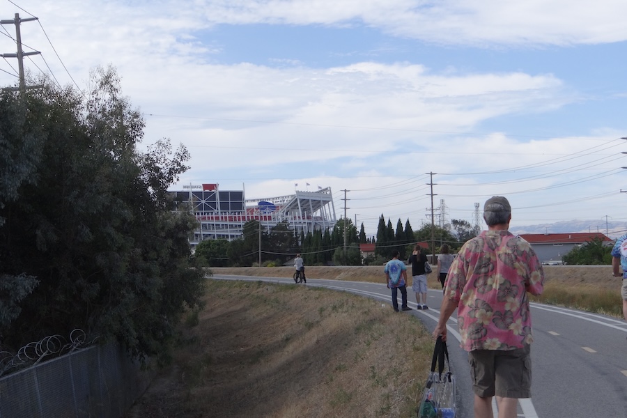
Six matches will take place at the home of San Francisco 49ers’ (American football) Levi’s Stadium, which is referred to as San Francisco Bay Area Stadium for the tournament. This venue is located in Santa Clara, in a suburban area that may be referred to as Silicon Valley, the Peninsula and/or the South Bay. The stadium is much closer to San José than it is to the region’s other major cities like San Francisco and Oakland.
Multiple fan zones—about 30 in total—have been organized in six regions of the Bay Area. Each region features multiple watch party locations. These regions are San Francisco (the city), East Bay (including Oakland), South Bay (including San José), North Bay (including Marin County and Napa Valley), The Peninsula and Santa Cruz (part of Monterey Bay).
Please note: Whether the famous line attributed to Mark Twain—“The coldest winter I ever spent was a summer in San Francisco”—is apocryphal or not, heed the warning. San Francisco, in particular, is known for microclimates, fog and unseasonably cool temperatures in summer. While the Bay Area’s climate is, overall, milder and more comfortable in the summer than much of the United States, some parts of the region (especially those that are more inland) can also get quite hot; American football fans have complained about sweltering in the seats at Levi’s Stadium that sit in the sun. Check the weather for all areas you’ll be visiting before you travel and again before you head out to a match or fan zone.
Go By Trail:
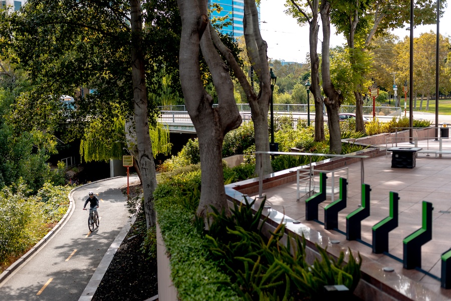
Due to the spread-out and decentralized nature of the Bay Area, users will invariably be coming from many different locations.
The Bay Area Trails Collaborative (BATC), a Rails to Trails Conservancy TrailNation™ project, is a vast network of connected trails throughout the region; currently, of the more than 2,600 miles planned, 1,400+ are on the ground. You can use RTC’s interactive map to view different types of facilities in the network, including trails and bike lanes. Additionally, you can consult TrailLink to find local trails.
The stadium sits on the San Tomas Aquino Creek Trail amidst a number of other trail connections in the area.
From San José, riders can ride the Guadalupe River Trail past the airport and then take the San Tomas Aquino Creek Trail to the venue; this route takes less than an hour and contains minimal on-road riding once you’re out of the central city.
Notably, the 328-mile San Francisco Bay Trail, or Bay Trail, wraps around much of San Francisco Bay and is a good corridor for riders coming from several directions. However, distances to the stadium from San Francisco or Oakland are quite long.
Those coming from San Francisco and the Peninsula can take the local public transit system, Bay Area Rapid Transit (BART), to Millbrae and then bike the rest of the way (though this is still a two-hour ride). A better option might be to take the CalTrain commuter rail to any number of stops closer to the stadium, and then use the local trail network to get to the stadium. To use only public transit, follow CalTrain’s Levi’s Stadium explainer on how to transfer from CalTrain at Mountain View to the Valley Transportation Authority’s Orange Line.
Similarly, attendees coming from the East Bay (or even Sacramento) can use the Capitol Corridor commuter rail (see its World Cup page)—which stops next to the stadium—or take BART to Berryessa/North San Jose and then follow the above trail directions from San José. (Please note that this route does involve an initial ride across San José on a marked but unprotected bike lane.)
Tips for Bikes and Mobility Devices:
Different transit authorities have different rules pertaining to bikes on trains and buses. Please review before taking a bike on them.
Bike Share
BayWheels, operated by Lyft, features dockless e-bikes serving San Francisco, the East Bay and San José—but not areas in-between (so, for instance, the soccer stadium is not within its service area). It offers single-ride, day and month passes. The Clipper transit card (BART, CalTrain, VTA) can be used for BayWheels.
Redwood Bikeshare is a smaller system serving the North Bay, from Marin County up to Santa Rosa.
Donate
Everyone deserves access to safe ways to walk, bike, and be active outdoors.
Related
View All
Trail Moments | Growing With RTC: Four Decades of Support
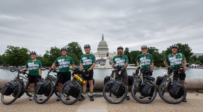
Veterans Embark on Cross-Country Trek on the Great American Rail-Trail, Elevating Importance of Outdoor Infrastructure to Nation’s Health